These Irish name elements are associated with this record in the Logainm glossary.
An element’s translation is a clue, rather than a complete explanation of the name. Its form and meaning depend on local history and the full Irish name.
Recorded forms
Cúil Áine· Irish · main form · validated name
Coolaney· English · main form
Place & story
The bridge over the Owenbeg
Coolaney's stone bridge at Rathosey dates from about 1833. A single broad arch carries the road over the Owenbeg, with carefully dressed limestone around the opening and squared rubble masonry above it. The parapets rise gently towards the centre, while a horizontal stone course defines their base. The National Inventory of Architectural Heritage identifies the bridge as evidence of the expanding nineteenth-century road network. Its craftsmanship gives an everyday river crossing a place in the village's built history.[2]
Leyny station and the railway
The former Leyny railway station stands on the outskirts of Coolaney. A 2022 archaeological assessment records its two-storey station house, attached waiting room and a covered waiting area supported by cast-iron columns. The timber bench seats and ticket-office arrangements preserve details of how passengers used the building. A canted bay projected towards the track, and a yard lay behind. Slate roofing, red-brick chimneys and decorated timber bargeboards gave the station a recognisable railway character. Together with the platform and track, it records a transport system that once served the surrounding countryside.[3]
Brick and tile works at Tullaghan
At Tullaghan, the former West of Ireland Brick and Tile Company represents another strand of local industry. The architectural survey dates the works to about 1840 and places the remains between the railway to the north and the Owenbeg to the south. By the time of its survey, a buttressed brick gable and part of a return wall survived. Cast-iron fragments associated with production remained among the rubble. This industrial site broadens the picture of Coolaney's working past beyond farming and the village street.[4]
Both counts use the 2016 settlement boundary, allowing like-for-like comparison. CSO supplies the 2022 count on this older boundary for comparison only. The official 2022 Built Up Area has different boundaries.
View population figures
Coolaney — Census 2016 settlement footprint — census population
These are the historical areas published in the 2006 census report. Boundaries may differ between censuses and from modern settlements. Legal towns, environs and suburbs are shown separately; none has been combined into a modern settlement total.
View population figures
Coolaney, Sligo — Census town, CSO 2006 report — census population
These figures use different area definitions. Read the boundary note before comparing them.
Coolaney, Sligo
Published census settlement populations
990people · 2016
Settlement boundaries changed during this period. Differences may reflect boundary changes as well as population change. Where a 2011 legal-town-and-environs count is shown, it has not been recalculated onto the 2016 settlement boundary.
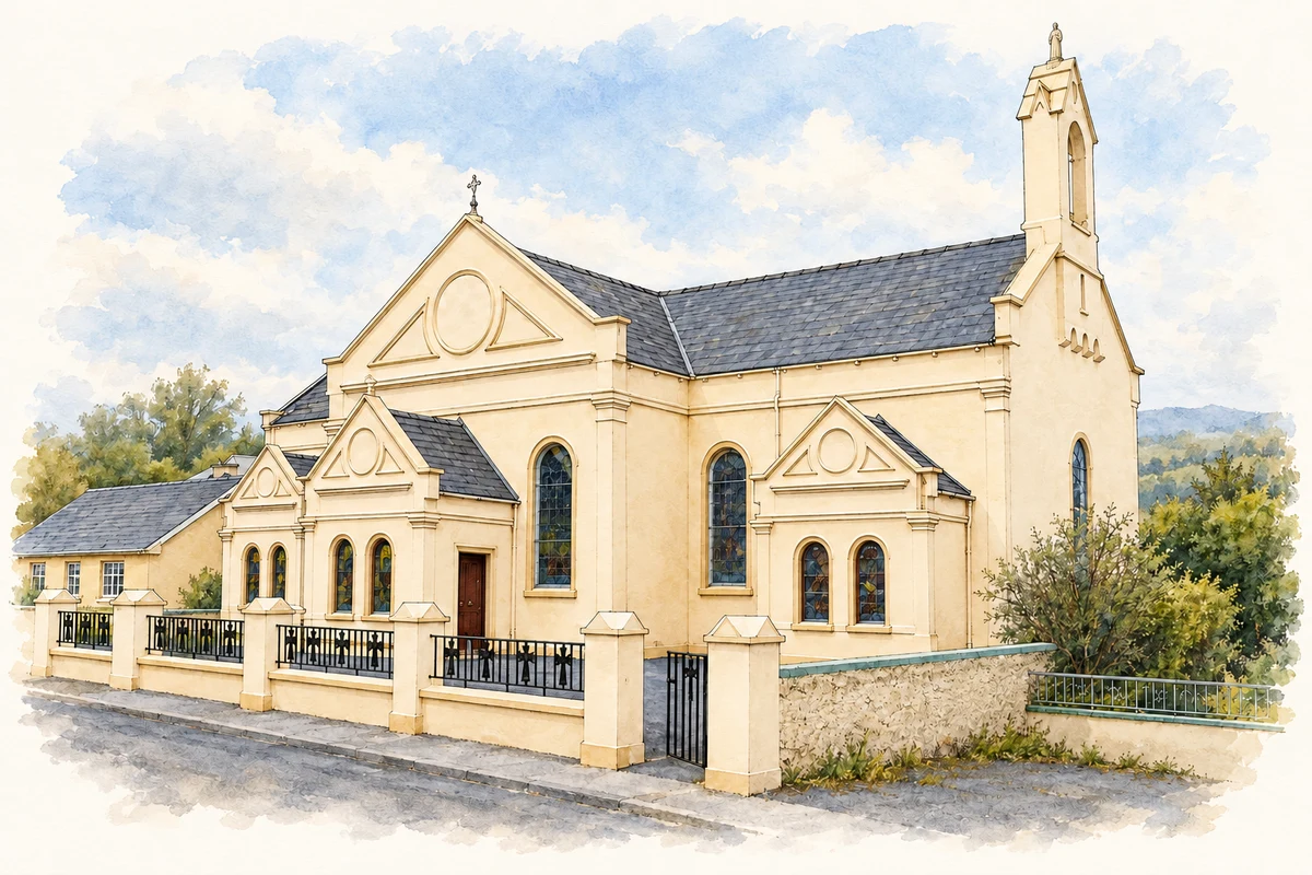
Church of the Sacred Heart and St Joseph, Rockfield, near Coolaney illustration: based on a Coolaney-church by Zxcode. AI-assisted watercolour and ink adaptation; cream paper margins added, incidental clutter omitted and fine details simplified. Licence: CC BY-SA 3.0.
 placenames