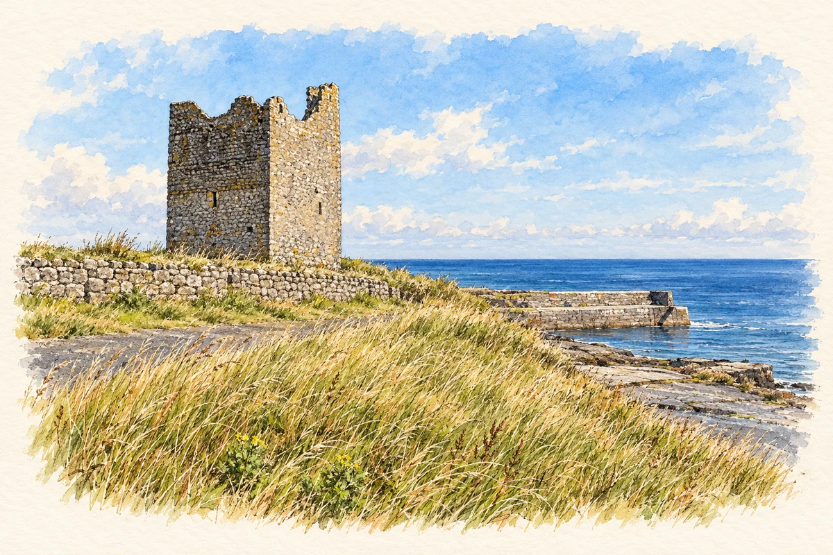
Easky, also written Easkey, faces the Atlantic where its river reaches the sea. Roslee Castle and a divided glacial boulder give the coast two very different landmarks.
Illustration, Roslee Castle and pier, Easky
⊕Recorded locationEasky54.28562° N · 8.95664° WInteractive map supplied by OpenStreetMap.
A reliable full-name meaning has not been established here. The recorded Irish and English forms are given without an unsupported translation.
Recorded forms
Iascaigh· Irish · main form · validated name
Easky· English · main form
Place & story
Roslee beside the pier
Roslee Castle, also called O'Dowd's Castle, stands beside the pier at Easky. Its surviving tower dominates the shore near the river mouth; the highest part is locally called the Sailor's Bed. Fáilte Ireland associates the stronghold with the O'Dowd chieftains of Tireragh. The tower's present appearance is a fragment of a larger fortified site, so the outline visible from the pier should not be mistaken for a complete surviving castle.[2]
From village street to Atlantic shore
The river connects Easky's main street with its coastal landscape. Sligo Walks describes a route following the eastern bank downstream towards the castle and then continuing along the Atlantic shore. The village's association with fishing is joined by modern water sports, including surfing and kayaking. The short distance between the street, river and sea helps explain their close relationship in local life: the shore is part of the village's immediate setting, rather than a distant excursion.[3]
Folklore & tradition
Fionn’s Stone
The nearby Split Rock is a large glacial boulder divided by a conspicuous crack. Dromore West's community history calls it Fionn's Stone and records a tradition that Fionn cast it from the Ox Mountains during a contest, then split it in anger when it failed to reach the sea. The same account preserves a warning that the gap would close on someone passing through it three times. This is an explanation belonging to local storytelling; the boulder's transport belongs to the history of glaciation.[4]
Both counts use the 2016 settlement boundary, allowing like-for-like comparison. CSO supplies the 2022 count on this older boundary for comparison only. The official 2022 Built Up Area has different boundaries.
View population figures
Easky — Census 2016 settlement footprint — census population
These are the historical areas published in the 2006 census report. Boundaries may differ between censuses and from modern settlements. Legal towns, environs and suburbs are shown separately; none has been combined into a modern settlement total.
View population figures
Easky, Sligo — Census town, CSO 2006 report — census population
These are the historical areas published in the 1996 census report. Boundaries may differ between censuses and from modern settlements. Legal towns, environs and suburbs are shown separately; none has been combined into a modern settlement total.
View population figures
Easky, Sligo — Census town, CSO 1996 report — census population
Figures cover the historical town area printed in the 1986 report. Boundaries may have changed between censuses. Legal town, environs and suburb totals remain separate and differ from modern settlement boundaries.
View population figures
Easky, Sligo — Census town, CSO 1986 report — census population
These figures use different area definitions. Read the boundary note before comparing them.
Easky, Sligo
Published census settlement populations
239people · 2016
Settlement boundaries changed during this period. Differences may reflect boundary changes as well as population change. Where a 2011 legal-town-and-environs count is shown, it has not been recalculated onto the 2016 settlement boundary.
 placenames