These Irish name elements are associated with this record in the Logainm glossary.
An element’s translation is a clue, rather than a complete explanation of the name. Its form and meaning depend on local history and the full Irish name.
Recorded forms
An Mullach Mór· Irish · main form · validated name
Mullaghmore· English · main form
Place & story
Alexander Nimmo’s stone harbour
Mullaghmore Harbour was sponsored by Henry John Temple, Viscount Palmerston, and designed by engineer Alexander Nimmo. The architectural inventory records a pier built in 1828 and extended over the following years to 1842. High seawalls protect the eastern and northern piers, with recessed flights of steps giving access to the water. Differences in the stonework reveal alterations within a structure that remains central to the village’s layout and maritime identity.[2]
A nineteenth-century castle silhouette
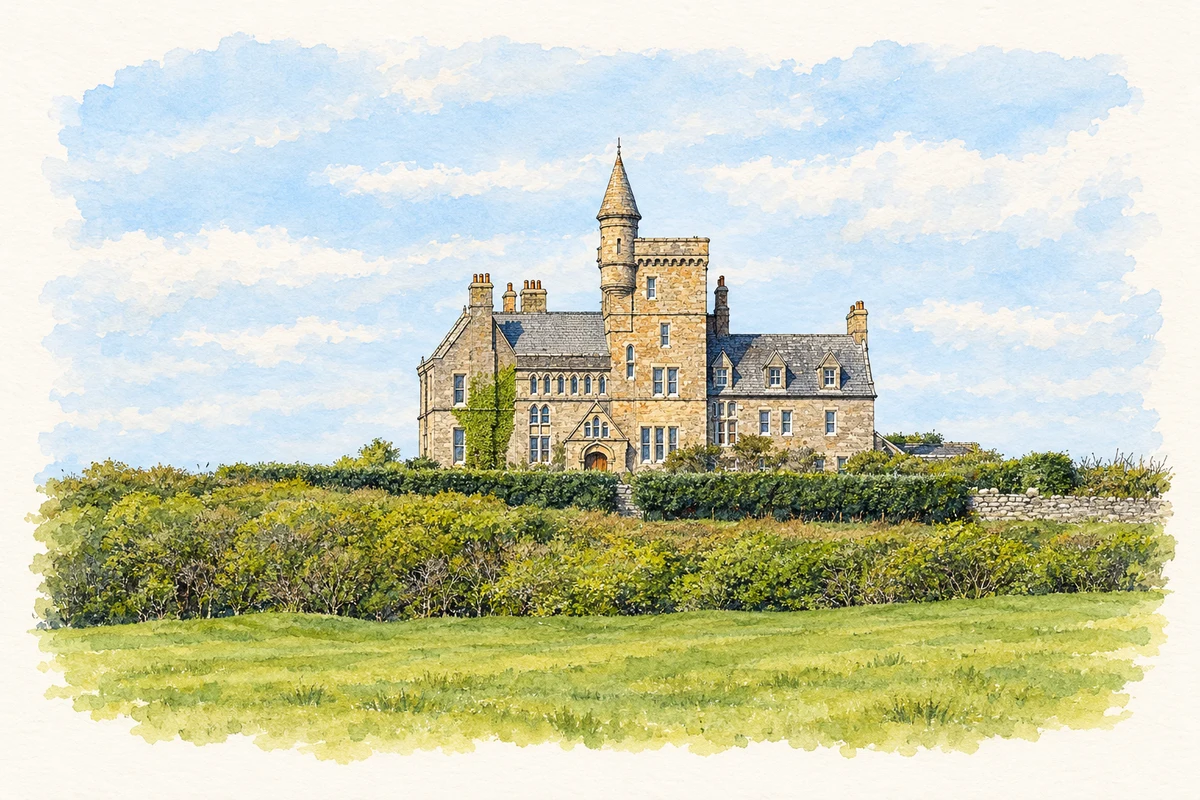
Classiebawn Castle stands on an elevated site southwest of the village. It is a Victorian country house, designed by James Rawson Carroll in the Scottish Baronial style, rather than a surviving medieval fortress. A tall central tower, projecting corner turret, gables and parapets create its distinctive outline. The architectural inventory dates the building to 1874 and records fine dressed stone around openings and at the corners. Its dramatic coastal position forms part of a deliberately composed estate landscape.[3]
The people killed in 1979
On 27 August 1979, an IRA bomb exploded aboard the Shadow V off Mullaghmore. Lord Louis Mountbatten, his fourteen-year-old grandson Nicholas Knatchbull and fifteen-year-old Paul Maxwell were killed; the Dowager Baroness Brabourne died later from her injuries. Mountbatten regularly spent family holidays at Classiebawn. RTÉ’s reports of subsequent commemorations document the continuing local remembrance of all four victims, including a silence at the cliff top on the thirtieth anniversary. The harbour was where the dead and injured were brought ashore.[4][5]
Both counts use the 2016 settlement boundary, allowing like-for-like comparison. CSO supplies the 2022 count on this older boundary for comparison only. The official 2022 Built Up Area has different boundaries.
View population figures
Mullaghmore — Census 2016 settlement footprint — census population
These are the historical areas published in the 2006 census report. Boundaries may differ between censuses and from modern settlements. Legal towns, environs and suburbs are shown separately; none has been combined into a modern settlement total.
View population figures
Mullaghmore, Sligo — Census town, CSO 2006 report — census population
These are the historical areas published in the 1996 census report. Boundaries may differ between censuses and from modern settlements. Legal towns, environs and suburbs are shown separately; none has been combined into a modern settlement total.
View population figures
Mullaghmore, Sligo — Census town, CSO 1996 report — census population
Figures cover the historical town area printed in the 1986 report. Boundaries may have changed between censuses. Legal town, environs and suburb totals remain separate and differ from modern settlement boundaries.
View population figures
Mullaghmore, Sligo — Census town, CSO 1986 report — census population
These figures use different area definitions. Read the boundary note before comparing them.
Mullaghmore, Sligo
Published census settlement populations
136people · 2016
Settlement boundaries changed during this period. Differences may reflect boundary changes as well as population change. Where a 2011 legal-town-and-environs count is shown, it has not been recalculated onto the 2016 settlement boundary.
 placenames