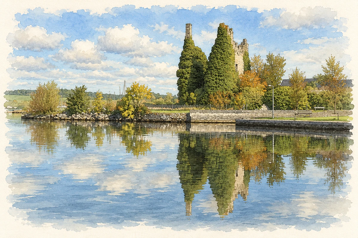
Dromineer's small harbour once handled the produce of Nenagh's hinterland. Its goods store recalls that working port, while sailing and a volunteer lifeboat service give the waterfront a different rhythm.
Illustration, Dromineer Castle and harbour waterfront
⊕Recorded locationDromineer52.92363° N · 8.27626° WInteractive map supplied by OpenStreetMap.
These Irish name elements are associated with this record in the Logainm glossary.
An element’s translation is a clue, rather than a complete explanation of the name. Its form and meaning depend on local history and the full Irish name.
Recorded forms
Drom Inbhir· Irish · main form · validated name
Dromineer· English · main form
Place & story
Cargoes at the quay
Around 1850 Dromineer was the principal port in its district. Coal came in for Nenagh's gasworks and barracks, together with provisions and guano fertiliser. Flour, oatmeal, barley and livestock travelled out from the surrounding agricultural country. The surviving goods store dates from about 1845. Commercial traffic continued into the mid-twentieth century, including Guinness barges, while Sunday excursions brought passengers onto the lake. The little harbour therefore served both everyday work and an emerging leisure trade long before its present boating associations.[2]
A countess's school
Samuel Lewis's 1837 survey recorded a school supported by the Countess of Farnham, with an annual endowment of thirty pounds and an acre and a half of land. About forty children attended it, while private schools taught another eighty. His account also identified Dromineer as an important Inland Navigation station. These details put schooling beside transport in the parish's early nineteenth-century life: the quay connected it with distant markets, while several small classrooms served children closer to home.[3]
People & connections
Building a rescue service
The Irish Coast Guard requested RNLI cover for Lough Derg in 2003. Local lake users Charles Stanley-Smith and Teddy Knight had already considered organising a rescue service. Volunteers trained through the winter of 2003–04, including visits to Cowes and the established inland station at Enniskillen. Dromineer's station became operational on 25 May 2004 with the Atlantic 21 lifeboat Clothworker, based at Lough Derg Yacht Club. In its 2006 account the RNLI recorded seven Knight family members helping afloat or ashore, an unusually concentrated example of the family and community effort behind the new service.[4]
Both counts use the 2016 settlement boundary, allowing like-for-like comparison. CSO supplies the 2022 count on this older boundary for comparison only. The official 2022 Built Up Area has different boundaries.
View population figures
Dromineer — Census 2016 settlement footprint — census population
Dromineer, North Tipperary — Census town, CSO 2006 report
2002–2006: census town
118people · 2006
These are the historical areas published in the 2006 census report. Boundaries may differ between censuses and from modern settlements. Legal towns, environs and suburbs are shown separately; none has been combined into a modern settlement total.
View population figures
Dromineer, North Tipperary — Census town, CSO 2006 report — census population
These figures use different area definitions. Read the boundary note before comparing them.
Dromineer, North Tipperary
Published census settlement populations
102people · 2016
Settlement boundaries changed during this period. Differences may reflect boundary changes as well as population change. Where a 2011 legal-town-and-environs count is shown, it has not been recalculated onto the 2016 settlement boundary.
Dromineer Castle and harbour waterfront illustration: based on a Castles of Munster, Dromineer, Tipperary by Mike Searle. AI-assisted watercolour and ink adaptation; cream paper margins added, incidental clutter omitted and fine details simplified. Licence: CC BY-SA 2.0.
 placenames