These Irish name elements are associated with this record in the Logainm glossary.
An element’s translation is a clue, rather than a complete explanation of the name. Its form and meaning depend on local history and the full Irish name.
Recorded forms
Dún Droma· Irish · main form · validated name
Dundrum· English · main form
Place & story
The village and the estate
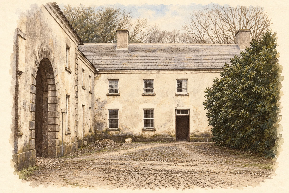
Dundrum developed as an estate village under the Maude family, Viscounts Hawarden, during the eighteenth and nineteenth centuries. The county council's settlement account places the village northeast of their house and identifies the tree-lined route between the gates and village as Lady Florence's Walk. The railway added another important connection; its former station building survives beyond the end of passenger use. These features place the village within a designed estate landscape as well as a wider transport network.[2]
People & connections
Clementina Hawarden takes up the camera
Lady Clementina Hawarden moved with her husband Cornwallis Maude to Dundrum in 1857. The Victoria and Albert Museum identifies the estate as the setting for her earliest photographic experiments: stereoscopic landscape views made from paired images intended to create an impression of depth. After returning to London in 1859, she increasingly photographed her daughters and the interiors of the family home. The museum preserves views of Dundrum House and its grounds among her surviving work. Her association with Dundrum is therefore a specific stage in her artistic development, rather than simply a country-house address.[3]
A distinctive former barracks
The former constabulary barracks, later used by the Gardaí, is one of Dundrum's most recognisable village buildings. Built around 1865, it combines asymmetrical gables with an octagonal entrance tower under a steep slate roof. The National Inventory of Architectural Heritage identifies its Tudor Revival character and decorative timber bargeboard. The building's picturesque outline gives a public institution some of the architectural display more often associated with estate lodges and country houses.[4]
Both counts use the 2016 settlement boundary, allowing like-for-like comparison. CSO supplies the 2022 count on this older boundary for comparison only. The official 2022 Built Up Area has different boundaries.
View population figures
Dundrum — Census 2016 settlement footprint — census population
Dundrum, South Tipperary — Census town, CSO 2006 report
2002–2006: census town
191people · 2006
These are the historical areas published in the 2006 census report. Boundaries may differ between censuses and from modern settlements. Legal towns, environs and suburbs are shown separately; none has been combined into a modern settlement total.
View population figures
Dundrum, South Tipperary — Census town, CSO 2006 report — census population
Dundrum, South Tipperary — Census town, CSO 1996 report
1991–1996: census town
219people · 1996
These are the historical areas published in the 1996 census report. Boundaries may differ between censuses and from modern settlements. Legal towns, environs and suburbs are shown separately; none has been combined into a modern settlement total.
View population figures
Dundrum, South Tipperary — Census town, CSO 1996 report — census population
Figures cover the historical town area printed in the 1986 report. Boundaries may have changed between censuses. Legal town, environs and suburb totals remain separate and differ from modern settlement boundaries.
View population figures
Dundrum, Tipperary — Census town, CSO 1986 report — census population
These figures use different area definitions. Read the boundary note before comparing them.
Dundrum, South Tipperary
Published census settlement populations
165people · 2016
Settlement boundaries changed during this period. Differences may reflect boundary changes as well as population change. Where a 2011 legal-town-and-environs count is shown, it has not been recalculated onto the 2016 settlement boundary.
 placenames