These Irish name elements are associated with this record in the Logainm glossary.
An element’s translation is a clue, rather than a complete explanation of the name. Its form and meaning depend on local history and the full Irish name.
Recorded forms
Gort na hUamha· Irish · main form · validated name
Gortnahoo· English · main form
Gurtnahoe· English · main form · local name
Place & story
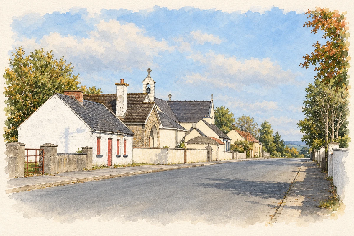
The Sacred Heart church
The Catholic Church of the Sacred Heart dates from 1820. Its cruciform plan has porches projecting from three gables, round-headed windows and a limestone bellcote above the entrance front. The interior retains a timber-panelled barrel ceiling, a gallery and marble altar furnishings. The National Inventory of Architectural Heritage identifies the church’s corner position as a focal point of the village; its graveyard and decorative iron boundary railings complete that setting.[2]
From separate teams to one parish club
Gortnahoe–Glengoole GAA’s own history traces teams in both places to 1886. The present combined club formed in 1961 under the one-club, one-parish arrangement. Its grounds have a separate history: a field at Rathbeg was acquired in 1937, then exchanged for the Gortnahoe sportsfield in 1952 through the Dunne family of Graigue. The juvenile club became a distinct organisation in 1980. These dates distinguish early sporting activity from the later organisation and facilities.[3]
The older centre at nearby Buolick
The medieval remains at Buolick, south-west of Gortnahoo, include a motte and bailey, church and tower house. Historian William Nolan describes evidence of a bawn and former street patterns visible in aerial photographs. His study places Buolick alongside Kilcooley and Fennor as older parish centres within the later Catholic parish of Gortnahoe–Glengoole. The nearby ruins belong to that wider settlement history; they should not be confused with the nineteenth-century village church.[4]
Both counts use the 2016 settlement boundary, allowing like-for-like comparison. CSO supplies the 2022 count on this older boundary for comparison only. The official 2022 Built Up Area has different boundaries.
View population figures
Gortnahoo — Census 2016 settlement footprint — census population
Gortnahoo, South Tipperary — Census town, CSO 2006 report
2002–2006: census town
219people · 2006
These are the historical areas published in the 2006 census report. Boundaries may differ between censuses and from modern settlements. Legal towns, environs and suburbs are shown separately; none has been combined into a modern settlement total.
View population figures
Gortnahoo, South Tipperary — Census town, CSO 2006 report — census population
These figures use different area definitions. Read the boundary note before comparing them.
Gortnahoo, South Tipperary
Published census settlement populations
286people · 2016
Settlement boundaries changed during this period. Differences may reflect boundary changes as well as population change. Where a 2011 legal-town-and-environs count is shown, it has not been recalculated onto the 2016 settlement boundary.
 placenames