Killenaule stands beside the Slieveardagh coalfield and the bogland site of Derrynaflan, connecting industrial working lives with some of Ireland’s finest early medieval metalwork.
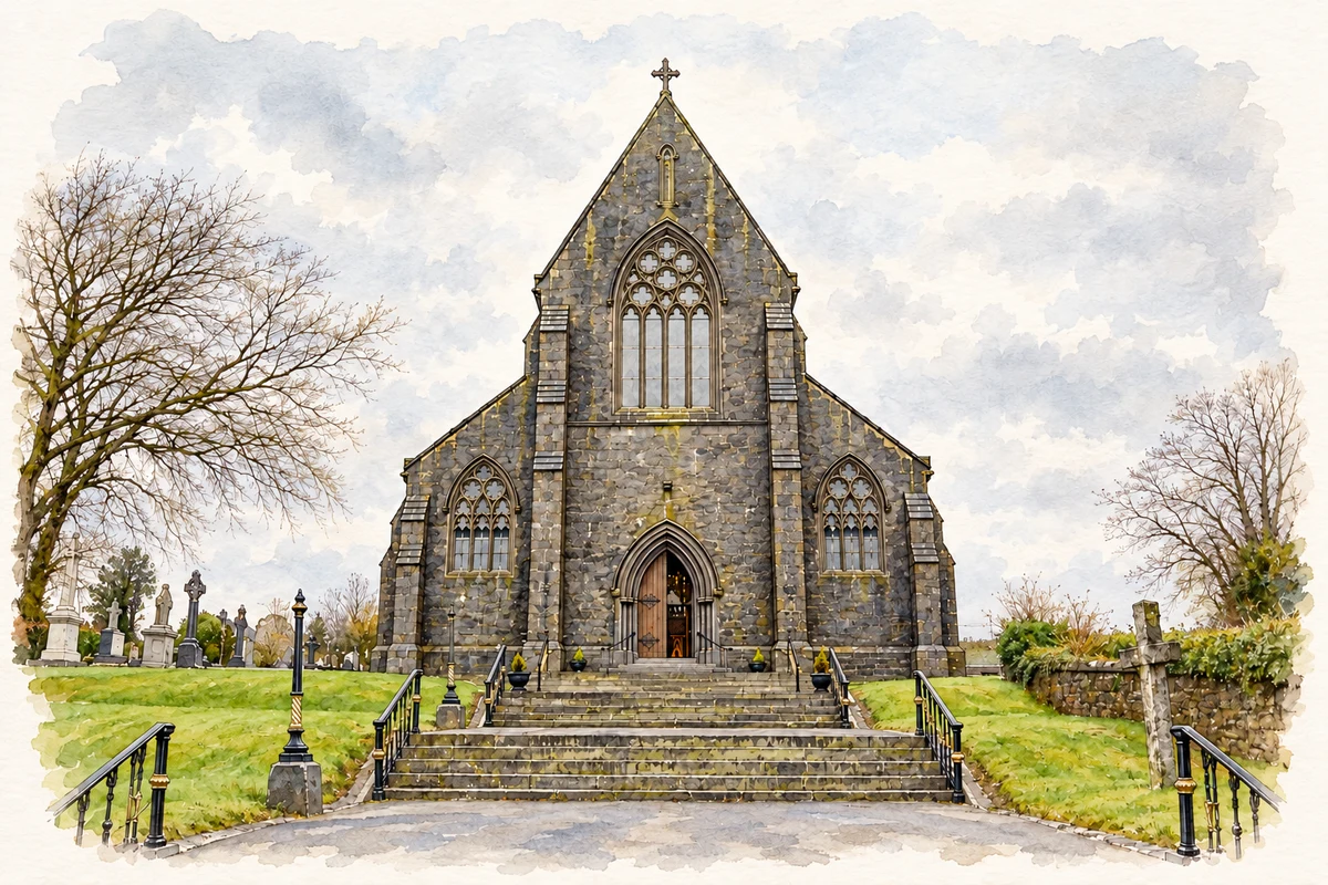
Illustration, Saint Mary's Church, Killenaule
⊕Recorded locationKillenaule52.56683° N · 7.67241° WInteractive map supplied by OpenStreetMap.
These Irish name elements are associated with this record in the Logainm glossary.
An element’s translation is a clue, rather than a complete explanation of the name. Its form and meaning depend on local history and the full Irish name.
Recorded forms
Cill Náile· Irish · main form · validated name
Killenaule· English · main form
Place & story
The mining settlement at Mardyke
The Mining Company of Ireland opened collieries at Mardyke in Killenaule parish in 1826. The local heritage account records an engine house, workers' dwellings, offices, a school and a police barracks. Further houses followed as the settlement expanded. It also reproduces an 1841 inspector's report describing work across the company's Tipperary collieries. These records show the coalfield as a network of workplaces and families, with housing and services developing around extraction. Mardyke's association with Killenaule belongs to the surrounding parish and industrial district rather than the town centre alone.[2]
The treasure from Derrynaflan
The Derrynaflan hoard was discovered in 1980 at a monastic site in the bogland northwest of Killenaule. The National Museum dates its silver chalice to the early ninth century. Its decoration combines gold filigree and amber, while the bowl, stem and foot are secured by a pin and catch-plate arrangement. Museum excavations recovered additional components from the decorated objects. The hoard's importance rests on the surviving vessels and their archaeological context; the nearby town provides a geographical point of reference, not the precise location of the discovery.[3][4]
A church reused for local knowledge
The former Church of Ireland Saint Mary's on River Street was built in 1838–40 on an older church site. It closed as a church in 1991 and was subsequently adapted as a heritage centre and library. The architectural inventory records sandstone walls, limestone dressings, a timber roof and the stained-glass east window. The graveyard and its carved memorials preserve another layer of local evidence around the building. Reuse allowed a familiar landmark to continue serving the community while retaining features associated with its earlier religious purpose.[5]
Both counts use the 2016 settlement boundary, allowing like-for-like comparison. CSO supplies the 2022 count on this older boundary for comparison only. The official 2022 Built Up Area has different boundaries.
View population figures
Killenaule — Census 2016 settlement footprint — census population
Killenaule, South Tipperary — Census town, CSO 2006 report
2002–2006: census town
597people · 2006
These are the historical areas published in the 2006 census report. Boundaries may differ between censuses and from modern settlements. Legal towns, environs and suburbs are shown separately; none has been combined into a modern settlement total.
View population figures
Killenaule, South Tipperary — Census town, CSO 2006 report — census population
Killenaule, South Tipperary — Census town, CSO 1996 report
1991–1996: census town
725people · 1996
These are the historical areas published in the 1996 census report. Boundaries may differ between censuses and from modern settlements. Legal towns, environs and suburbs are shown separately; none has been combined into a modern settlement total.
View population figures
Killenaule, South Tipperary — Census town, CSO 1996 report — census population
Killenaule, Tipperary — Census town, CSO 1986 report
1981–1986: census town
717people · 1986
Figures cover the historical town area printed in the 1986 report. Boundaries may have changed between censuses. Legal town, environs and suburb totals remain separate and differ from modern settlement boundaries.
View population figures
Killenaule, Tipperary — Census town, CSO 1986 report — census population
These figures use different area definitions. Read the boundary note before comparing them.
Killenaule, South Tipperary
Published census settlement populations
652people · 2016
Settlement boundaries changed during this period. Differences may reflect boundary changes as well as population change. Where a 2011 legal-town-and-environs count is shown, it has not been recalculated onto the 2016 settlement boundary.
 placenames