 placenames
Caledon
Cionn Aird
Caledon’s estate-shaped streets and industrial history stand alongside its place in the Northern Ireland civil-rights movement.
The name
These Irish name elements are associated with this record in the Logainm glossary.
An element’s translation is a clue, rather than a complete explanation of the name. Its form and meaning depend on local history and the full Irish name.
Recorded forms
- Cionn Aird · Irish · main form · validated name
- Caledon · English · main form
Place & story
The village rebuilt in the 1820s
Caledon Regeneration Partnership traces the village’s earlier identity as Kinaird to the O’Neills of Tyrone, who had a castle here in the late fifteenth century. Its present streetscape owes much to a different period: Du Pre Alexander, second Earl of Caledon, directed rebuilding in the 1820s. Terraces, a courthouse and market house gave the village a coherent Georgian centre linked to the neighbouring estate. These changes established much of the architectural character visible today. [2]
From flour to cloth
The Blackwater and its tributaries supplied power for local mills. The Ancient Clans heritage project describes Caledon’s development as a market town and port, and records the conversion of its flour mill to woollen-cloth production in the 1880s. Industrial buildings, artisans’ cottages and civic structures belonged to the same economic landscape. The village’s formal terraces therefore sit within a history of production and trade, alongside the better-known story of the estate. [3]
The house occupation of 1968
On 20 June 1968 Stormont MP Austin Currie and two local men occupied a council house in Caledon to protest against housing allocation. RTÉ’s archive records their objection to a house being allocated to an unmarried Protestant secretary while families remained on the waiting list. Police removed the occupiers after a few hours. The protest brought wider attention to discrimination in housing and became a prominent episode in the developing civil-rights movement. [4]
Geographic information
- Place type
- Town
- County
- Tyrone
- Barony
- Dungannon Lower
- Civil parish
- Aghaloo
- Coordinates
- 54.35707, -6.84625 (approximate)
- Logainm ID
- 1416797 ↗
Sources & further reading
- Logainm.ie — Caledon. Place names and geographic record, licensed under CC BY 4.0.
- Our Story: Caledon village · Caledon Regeneration Partnership
- Caledon village · Ancient Clans of Tyrone and Donegal heritage project
- Civil Rights in Northern Ireland: Caledon Protest · RTÉ Archives
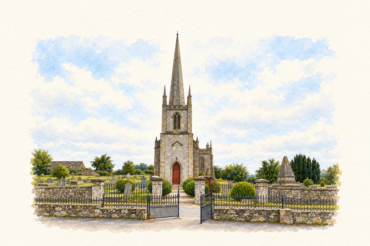
- St John’s Church, Caledon illustration: based on a St John's Church of Ireland, Church Hill Road, Caledon by Kenneth Allen. AI-assisted watercolour and ink adaptation; cream paper margins added, incidental clutter omitted and fine details simplified. Licence: CC BY-SA 2.0; adapted illustration distributed under the same licence.
Name record retrieved 2026-10-25 · Source record modified 2014-11-06. How this page was prepared.