Ballycumber's bridge links a small nineteenth-century trading settlement with the drainage works that reshaped the Brosna, while newspaper archives record an unusual local fundraiser.
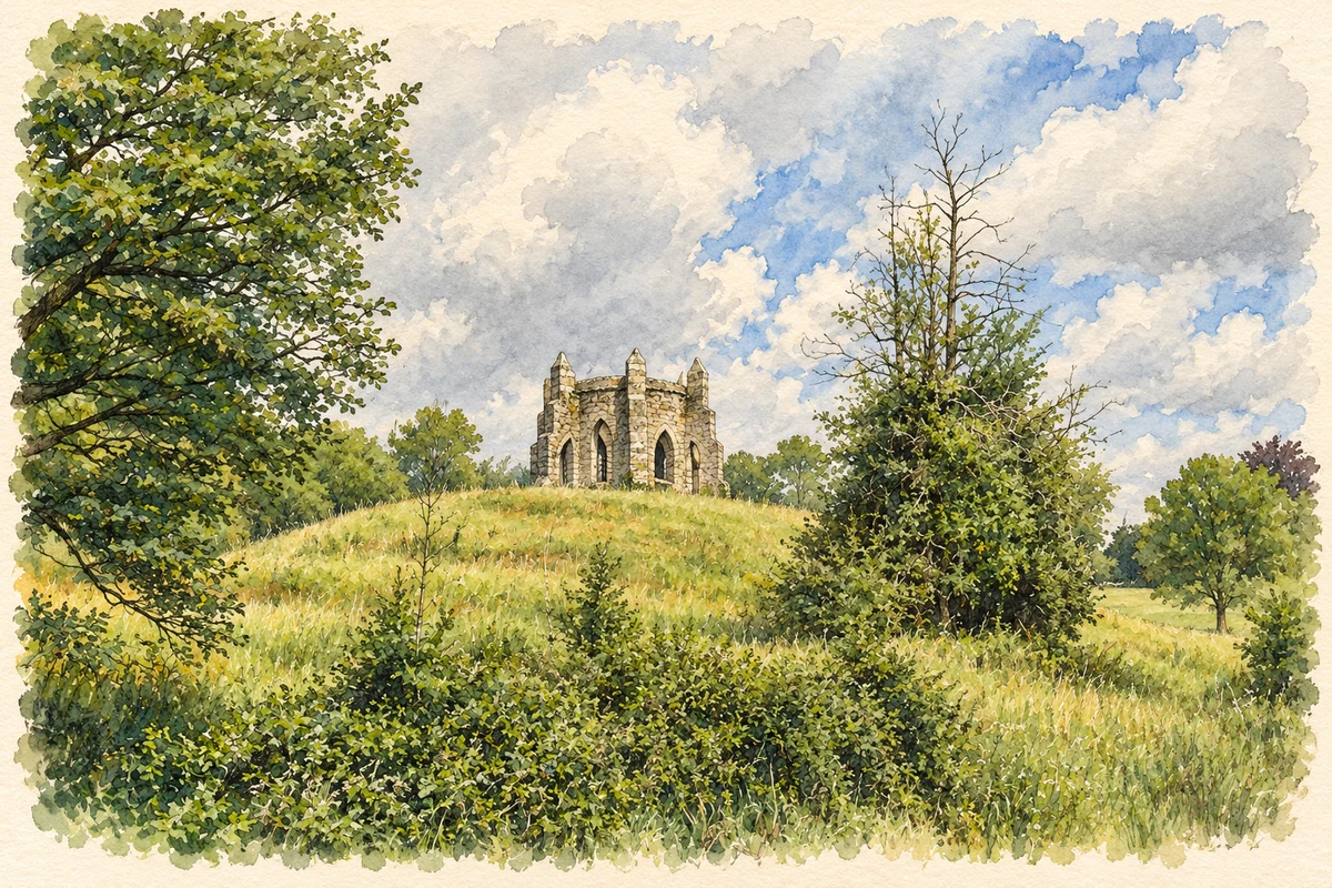
Illustration, Ballycumber House folly tower
⊕Recorded locationBallycumber53.32718° N · 7.68843° WInteractive map supplied by OpenStreetMap.
These Irish name elements are associated with this record in the Logainm glossary.
An element’s translation is a clue, rather than a complete explanation of the name. Its form and meaning depend on local history and the full Irish name.
Recorded forms
Béal Átha Chomair· Irish · main form · validated name
Ballycumber· English · main form
Place & story
Thirteen houses and two livestock fairs
Samuel Lewis described Ballycumber as a hamlet of thirteen houses in 1837. It stood beside the Brosna on the road between Clara and Ferbane, with a penny post from Clara. Fairs on 2 May and 1 December brought cattle, sheep and pigs into the settlement. Lewis also identified Ballycumber House as the residence of J. Warnford Armstrong. The account records the small scale of the village before later infrastructure works, while showing its role as a meeting and trading point for the surrounding countryside.[2]
A bridge built for a changed river
The present Ballycumber Bridge dates to around 1850 and was erected by the Board of Works as part of the Brosna drainage scheme. One broad masonry arch carries the road to Clara across the river. Different stone finishes distinguish the rough parapets from the dressed arch stones. A pedestrian stile survives on the eastern side. The bridge's connection with drainage makes it more than a road crossing: its construction belongs to the wider nineteenth-century effort to alter water levels and improve surrounding agricultural land.[3]
Folklore & tradition
The claimed revival that drew the cameras
Newspaper reports from 1973 recorded a frog-swallowing competition organised by Boher Macra na Feirme at Ballycumber's sports and field day. It was promoted as a revival of a former local practice and a fundraiser for Boher Hall. The claim of an older tradition was disputed, although a local witness recalled people collecting frogs for adults around the time of the Boer War. A further contest in 1974 drew photographers and a television crew. The contemporary controversy is part of the event's history, alongside its community fundraising purpose.[4]
Both counts use the 2016 settlement boundary, allowing like-for-like comparison. CSO supplies the 2022 count on this older boundary for comparison only. The official 2022 Built Up Area has different boundaries.
View population figures
Ballycumber — Census 2016 settlement footprint — census population
Ballycumber, Offaly — Census town, CSO 2006 report
2002–2006: census town
216people · 2006
These are the historical areas published in the 2006 census report. Boundaries may differ between censuses and from modern settlements. Legal towns, environs and suburbs are shown separately; none has been combined into a modern settlement total.
View population figures
Ballycumber, Offaly — Census town, CSO 2006 report — census population
Ballycumber, Offaly — Census town, CSO 1996 report
1991–1996: census town
256people · 1996
These are the historical areas published in the 1996 census report. Boundaries may differ between censuses and from modern settlements. Legal towns, environs and suburbs are shown separately; none has been combined into a modern settlement total.
View population figures
Ballycumber, Offaly — Census town, CSO 1996 report — census population
Ballycumber, Offaly — Census town, CSO 1986 report
1981–1986: census town
235people · 1986
Figures cover the historical town area printed in the 1986 report. Boundaries may have changed between censuses. Legal town, environs and suburb totals remain separate and differ from modern settlement boundaries.
View population figures
Ballycumber, Offaly — Census town, CSO 1986 report — census population
These figures use different area definitions. Read the boundary note before comparing them.
Ballycumber, Offaly
Published census settlement populations
208people · 2016
Settlement boundaries changed during this period. Differences may reflect boundary changes as well as population change. Where a 2011 legal-town-and-environs count is shown, it has not been recalculated onto the 2016 settlement boundary.
 placenames