Two neighbouring nineteenth-century buildings give Bracknagh a clear architectural centre, combining education, worship and the commemoration of earlier burials.
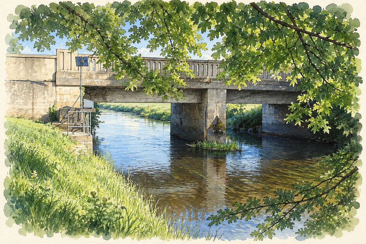
Illustration, Ardra Bridge over the River Figile, Bracknagh
⊕Recorded locationBracknagh53.20877° N · 7.10008° WInteractive map supplied by OpenStreetMap.
A reliable full-name meaning has not been established here. The recorded Irish and English forms are given without an unsupported translation.
Recorded forms
Breacánach· Irish · main form · validated name
Bracknagh· English · main form
Place & story
The schoolmaster lived upstairs
Bracknagh's old school was built in 1843, with classrooms below and accommodation for the teacher above. Its two-storey form made these different uses part of one building. Offaly's protected-structure record identifies Tudor-arched entrances, limestone surrounds and cast-iron lattice windows, with a name and date plaque and a clock on the front. The building's carefully worked stone gives an everyday institution a conspicuous place in the village streetscape. It stands close to the church, forming a small group of buildings associated with the community's education and worship.[2]
Saint Brochan’s Church
Saint Brochan's Catholic Church dates from around 1845. Its simple single-cell plan is distinguished by a limestone entrance front, bellcote and pointed openings. Stained glass and carved fretwork above the altar add detail to the interior. The heritage inventory specifically notes the relationship between the church and neighbouring school: their shared materials and design features link buildings with different functions. Together they preserve a substantial part of Bracknagh's nineteenth-century public architecture.[3]
Burials brought back to Bracknagh
The parish history records three priests buried in the church, including John Dunne, who died in 1856 after serving as parish priest for 32 years. The church grounds also received human remains uncovered at Ballinowlart in 1917. Offaly's burial-ground survey records a single reinterment plot marked by a plaque. This provides a documented connection between the present village church and an older burial site nearby, without requiring the later discovery to prove every detail of the area's traditions about seventeenth-century violence.[4][5]
Both counts use the 2016 settlement boundary, allowing like-for-like comparison. CSO supplies the 2022 count on this older boundary for comparison only. The official 2022 Built Up Area has different boundaries.
View population figures
Bracknagh — Census 2016 settlement footprint — census population
These are the historical areas published in the 2006 census report. Boundaries may differ between censuses and from modern settlements. Legal towns, environs and suburbs are shown separately; none has been combined into a modern settlement total.
View population figures
Bracknagh, Offaly — Census town, CSO 2006 report — census population
These are the historical areas published in the 1996 census report. Boundaries may differ between censuses and from modern settlements. Legal towns, environs and suburbs are shown separately; none has been combined into a modern settlement total.
View population figures
Bracknagh, Offaly — Census town, CSO 1996 report — census population
Figures cover the historical town area printed in the 1986 report. Boundaries may have changed between censuses. Legal town, environs and suburb totals remain separate and differ from modern settlement boundaries.
View population figures
Bracknagh, Offaly — Census town, CSO 1986 report — census population
These figures use different area definitions. Read the boundary note before comparing them.
Bracknagh, Offaly
Published census settlement populations
212people · 2016
Settlement boundaries changed during this period. Differences may reflect boundary changes as well as population change. Where a 2011 legal-town-and-environs count is shown, it has not been recalculated onto the 2016 settlement boundary.
 placenames