Cloghan's nineteenth-century trading life survives in a contemporary account of its fairs, while its church and historic houses preserve different layers of village building.
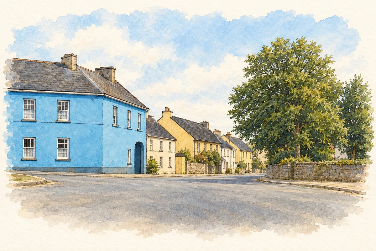
Illustration, village crossroads, Cloghan
⊕Recorded locationCloghan53.22481° N · 7.88248° WInteractive map supplied by OpenStreetMap.
These Irish name elements are associated with this record in the Logainm glossary.
An element’s translation is a clue, rather than a complete explanation of the name. Its form and meaning depend on local history and the full Irish name.
Recorded forms
An Clochán· Irish · main form · validated name
Cloghan· English · main form
Place & story
Three annual fairs
In 1837 Samuel Lewis counted 460 inhabitants and 84 dwellings at Cloghan. Most of the houses were thatched cottages with whitewashed walls. He identified three annual fair days: 1 January, 16 May and 29 October. A constabulary station and a post-town function accompanied this trading role. The village stood on the road between Ferbane and Banagher, close to the Shannon and Grand Canal. Lewis's account places Cloghan within the network of roads, waterways and periodic markets serving the surrounding countryside.[2]
Saint Mary's and its chapel yard
Saint Mary's Catholic Church dates from about 1860. Its T-shaped plan brings transepts out from the nave, while a three-stage tower rises to a spire. The church has a canted apse and several entrance porches. Pointed windows, circular openings and stained glass provide variety across its rendered walls. Inside, timber roof trusses and a panelled ceiling accompany marble altar furnishings. The building stands within its own enclosed yard, with grave markers beside it: a distinct setting for worship within the village.[3]
Thatch beneath a later roof
Hill House preserves an unusually revealing piece of domestic building history. Its roof retains an important timber substructure associated with an earlier thatched covering. In 2025 the Historic Structures Fund awarded the Cloghan property €85,887 for lime works and roof repairs. That announcement records both the survival of the concealed structure and a conservation project intended to protect it. The house offers a physical connection with the thatched village buildings described in the nineteenth century.[4]
Both counts use the 2016 settlement boundary, allowing like-for-like comparison. CSO supplies the 2022 count on this older boundary for comparison only. The official 2022 Built Up Area has different boundaries.
View population figures
Cloghan — Census 2016 settlement footprint — census population
These are the historical areas published in the 2006 census report. Boundaries may differ between censuses and from modern settlements. Legal towns, environs and suburbs are shown separately; none has been combined into a modern settlement total.
View population figures
Cloghan, Offaly — Census town, CSO 2006 report — census population
These are the historical areas published in the 1996 census report. Boundaries may differ between censuses and from modern settlements. Legal towns, environs and suburbs are shown separately; none has been combined into a modern settlement total.
View population figures
Cloghan, Offaly — Census town, CSO 1996 report — census population
Figures cover the historical town area printed in the 1986 report. Boundaries may have changed between censuses. Legal town, environs and suburb totals remain separate and differ from modern settlement boundaries.
View population figures
Cloghan, Offaly — Census town, CSO 1986 report — census population
These figures use different area definitions. Read the boundary note before comparing them.
Cloghan, Offaly
Published census settlement populations
601people · 2016
Settlement boundaries changed during this period. Differences may reflect boundary changes as well as population change. Where a 2011 legal-town-and-environs count is shown, it has not been recalculated onto the 2016 settlement boundary.
Village crossroads, Cloghan, County Offaly illustration: based on a The crossroads at Cloughan by Eric Jones. AI-assisted watercolour and ink adaptation; cream paper margins added, incidental clutter omitted and fine details simplified. Licence: CC BY-SA 2.0.
 placenames