Clonbulloge's history includes the destruction of houses in 1798 and later rebuilding around its rivers. An unusual warm spring beside the Figile became part of the village's twentieth-century water supply.
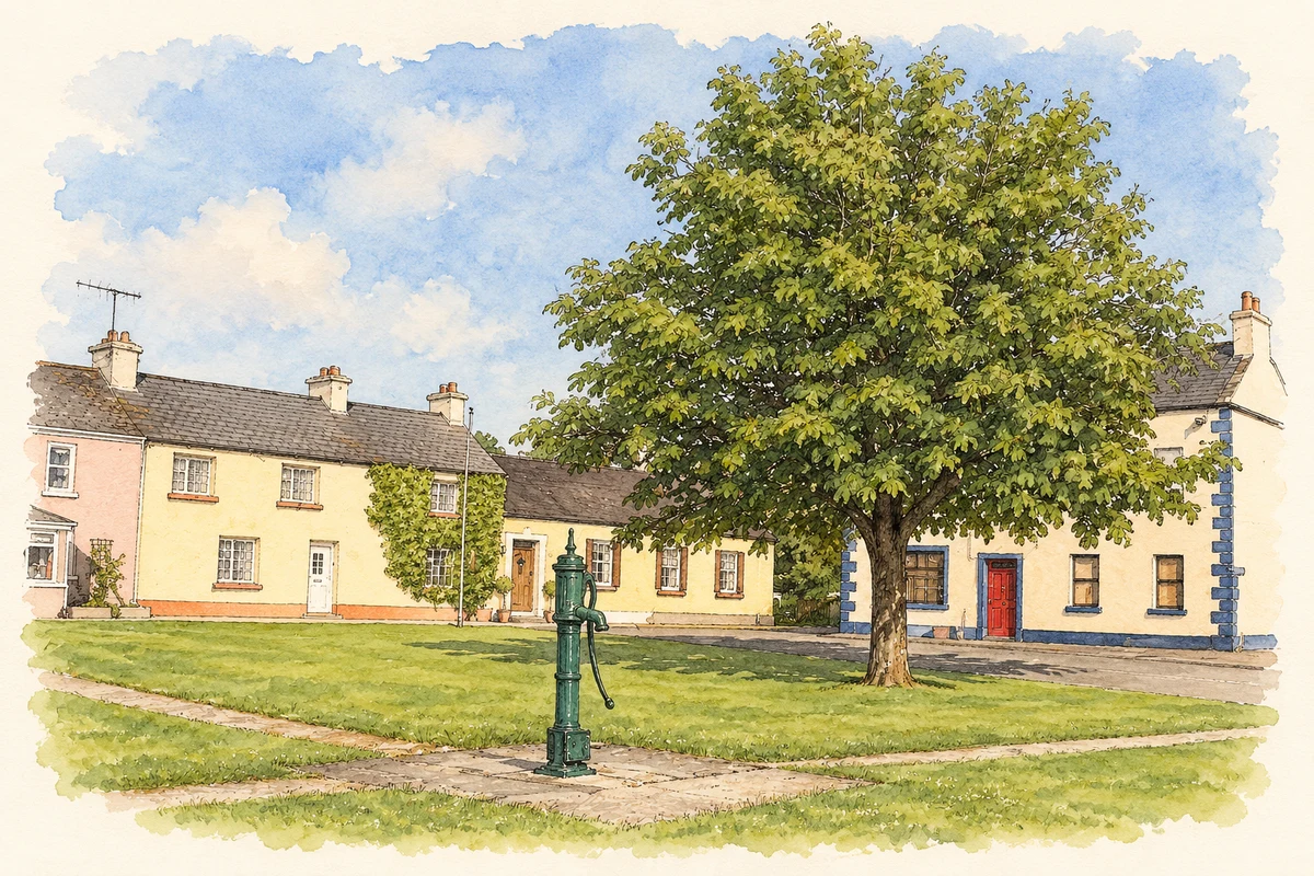
Illustration, Village green and water pump, Clonbulloge
⊕Recorded locationClonbulloge53.26115° N · 7.08237° WInteractive map supplied by OpenStreetMap.
These Irish name elements are associated with this record in the Logainm glossary.
An element’s translation is a clue, rather than a complete explanation of the name. Its form and meaning depend on local history and the full Irish name.
Recorded forms
Cluain Bolg· Irish · main form · validated name
Clonbulloge· English · main form
Clonbullogue· English · main form · local name
Place & story
Purefoy's Place after 1798
Samuel Lewis recorded Clonbulloge under the alternative name Purefoy's Place in 1837. His description still showed the effects of 1798: the larger houses had been burned during the rebellion, leaving only a small collection of more modest dwellings. The surrounding Bog of Allen shaped the settlement's rural setting. Two annual fairs, on 11 July and 29 October, and a constabulary station brought business and official activity into the village. Lewis's account gives a picture of a place whose earlier destruction remained visible almost forty years later.[2]
The river crossing and the parish church
Cloncreen Bridge carries the road from Edenderry towards Clonbulloge across the Figile River. Built around 1790, it has three semicircular masonry arches, dressed stone voussoirs and pointed cutwaters facing upstream. Its construction belongs to the period immediately before the rebellion. Another stage in the village's building history is represented by the Catholic Church of the Sacred Heart, dated by the diocese to about 1820. Renovation in 1983 included reconstruction of its sanctuary.[3][4]
A spring warmer than its surroundings
On the western outskirts of Clonbulloge, a spring rises beside the Figile, close to its meeting with the Philipstown River. Geological Survey investigations recorded temperatures of about 14.6–14.9 degrees Celsius, making it a warm spring by Irish groundwater standards. The source was commissioned for public water supply in 1968. A concrete chamber and small pumphouse collected and distributed the water. This unassuming riverside feature therefore became an important part of local infrastructure, connecting the underlying geology with daily life in the village and surrounding farms.[5]
Both counts use the 2016 settlement boundary, allowing like-for-like comparison. CSO supplies the 2022 count on this older boundary for comparison only. The official 2022 Built Up Area has different boundaries.
View population figures
Clonbullogue — Census 2016 settlement footprint — census population
Clonbullogue, Offaly — Census town, CSO 2006 report
2002–2006: census town
442people · 2006
These are the historical areas published in the 2006 census report. Boundaries may differ between censuses and from modern settlements. Legal towns, environs and suburbs are shown separately; none has been combined into a modern settlement total.
View population figures
Clonbullogue, Offaly — Census town, CSO 2006 report — census population
Clonbullogue, Offaly — Census town, CSO 1996 report
1991–1996: census town
329people · 1996
These are the historical areas published in the 1996 census report. Boundaries may differ between censuses and from modern settlements. Legal towns, environs and suburbs are shown separately; none has been combined into a modern settlement total.
View population figures
Clonbullogue, Offaly — Census town, CSO 1996 report — census population
Clonbullogue, Offaly — Census town, CSO 1986 report
1981–1986: census town
378people · 1986
Figures cover the historical town area printed in the 1986 report. Boundaries may have changed between censuses. Legal town, environs and suburb totals remain separate and differ from modern settlement boundaries.
View population figures
Clonbullogue, Offaly — Census town, CSO 1986 report — census population
These figures use different area definitions. Read the boundary note before comparing them.
Clonbullogue, Offaly
Published census settlement populations
439people · 2016
Settlement boundaries changed during this period. Differences may reflect boundary changes as well as population change. Where a 2011 legal-town-and-environs count is shown, it has not been recalculated onto the 2016 settlement boundary.
 placenames