A reliable full-name meaning has not been established here. The recorded Irish and English forms are given without an unsupported translation.
Recorded forms
Pollach· Irish · main form · validated name
Pollagh· English · main form
Pullough· English · main form · local name
Place & story
Bricks travelling by canal
Caitríona Devery’s research with Pollagh Heritage Group connects the village’s growth with handmade brickmaking and the Grand Canal. Blue-grey clay from the Brosna valley produced the pale yellow bricks used locally and sent towards Dublin. Family-run yards fired them with turf in clamp kilns. The canal provided transport to distant buyers, while local examples included houses, the school and Saint Mary’s Church. Devery also notes the difficulty of identifying their final destinations, since many bricks were used internally or later concealed beneath plaster.[2]
Two aisles facing one altar
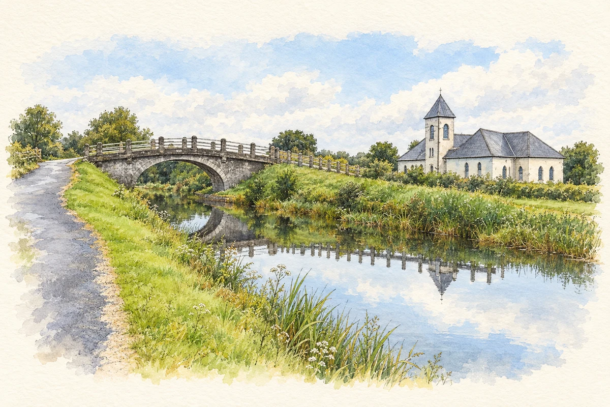
Saint Mary’s was built in 1907 using local yellow brick. Its original V-shaped plan placed men and women in separate converging aisles, each with a view towards the altar. The architectural inventory records the space between them being filled around 1950. A central tower with a pyramidal roof and two wrought-iron spiral stairs to the gallery add further distinctive features. The unusual plan therefore belongs to an earlier arrangement within a building subsequently altered.[3]
People & connections
Michael Casey’s bog-yew furnishings
Sculptor Michael Casey and students from the Celtic Roots Studio at Lemonaghan made the church’s altar, tabernacle, ambo and chair from local bog yew. The architectural inventory records the timber as approximately 4,800 years old following carbon dating. Two windows attributed to Harry Clarke’s studio flank the altar, depicting the Virgin Mary and the Sacred Heart. Ancient wood and twentieth-century stained glass form separate layers of craftsmanship within the same interior.[3]
After peat harvesting
Pollagh Bog lies beside the village, south of the Grand Canal. Bord na Móna’s 2021 rehabilitation plan records development for peat production in the 1950s and the end of industrial harvesting in 2019. Archaeologists monitored subsequent drain blocking and rehabilitation between August 2021 and January 2022, inspecting exposed peat and drain sections. Their report found no archaeological features in those monitored works. The documented sequence follows another change in local land use, from fuel production towards the management of cutaway peatland.[4][5]
Both counts use the 2016 settlement boundary, allowing like-for-like comparison. CSO supplies the 2022 count on this older boundary for comparison only. The official 2022 Built Up Area has different boundaries.
View population figures
Pollagh — Census 2016 settlement footprint — census population
These are the historical areas published in the 2006 census report. Boundaries may differ between censuses and from modern settlements. Legal towns, environs and suburbs are shown separately; none has been combined into a modern settlement total.
View population figures
Pollagh, Offaly — Census town, CSO 2006 report — census population
These figures use different area definitions. Read the boundary note before comparing them.
Pollagh, Offaly
Published census settlement populations
227people · 2016
Settlement boundaries changed during this period. Differences may reflect boundary changes as well as population change. Where a 2011 legal-town-and-environs count is shown, it has not been recalculated onto the 2016 settlement boundary.
 placenames