 placenames
Newtown Pery
Newtown Pery’s street grid, family names and speculative townhouses preserve the ambitions behind Limerick’s eighteenth-century expansion.
The name
A reliable full-name meaning has not been established here. The recorded Irish and English forms are given without an unsupported translation.
Recorded forms
- Newtown Pery · English · main form
Place & story
Pery, Ducart and Colles
Edmund Sexton Pery developed land south of the older city as Limerick expanded beyond its walls. The architectural dictionary credits Davis Ducart with a plan of leasehold plots in 1769, while the council's history identifies Christopher Colles with the grid plan produced that year. The development divided ground into regular plots for builders. Its surviving street pattern records a coordinated extension of the city, realised through individual building projects over subsequent decades. [2] [3]
Family names in the streets
Newtown Pery's street names preserve the families involved in its creation. The council history connects William Street, Mallow Street, Glentworth Street, Cecil Street, Hartstonge Street and Pery Street with Pery's family. The Arthur family developed the first complete block and left its names in Arthur's Quay, Francis Street, Patrick Street and Ellen Street. The map therefore carries evidence of the developers alongside the red-brick terraces, iron railings and decorated doorways of the Georgian streetscape. [3]
The terrace at Pery Square
Pery Square's terrace was a speculative project undertaken by the Pery Square Tontine Company. James Pain supervised construction, although his responsibility for the design remains less certain; Pierse Creagh of Ennis was the contractor. The houses were being let by 1838. Number 2, once occupied by Michael Gavin, later became the People's Museum. Its change of use allows a house created through private investment to help interpret the wider lives and buildings of the city. [4]
Geographic information
- Place type
- Population centre
- County
- Limerick
- Barony
- Limerick City
- Civil parish
- Saint Michael's
- Coordinates
- 52.66125, -8.63306
- Logainm ID
- 1416938 ↗
Sources & further reading
- Logainm.ie — Newtown Pery. Place names and geographic record, licensed under CC BY 4.0.
- Newtown Pery: Davis Ducart plan of leasehold plots, 1769 · Irish Architectural Archive, Dictionary of Irish Architects
- A Brief History of Georgian Limerick · Limerick City and County Council
- Georgian House: Number 2 Pery Square · Open House Limerick; architecture interpretation project with Sheila Deegan
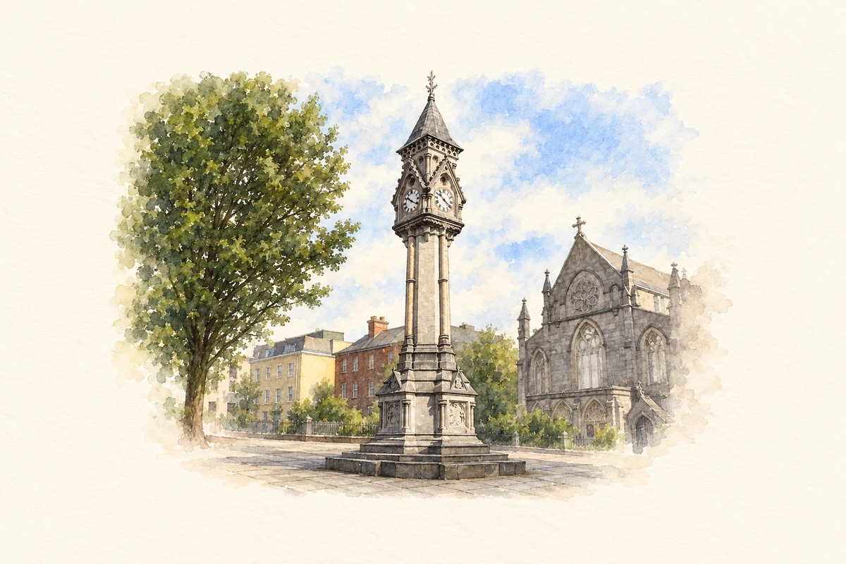
- Tait Memorial Clock, Newtown Pery, Limerick illustration: based on a Limerick - Tait Memorial Clock by Colin Park. AI-assisted watercolour and ink adaptation; cream paper margins added, incidental clutter omitted and fine details simplified. Licence: CC BY-SA 2.0.

Name record retrieved 2026-10-25 · Source record modified 2026-08-17. How this page was prepared.