 placenames
Ballinlough
Baile an Locha
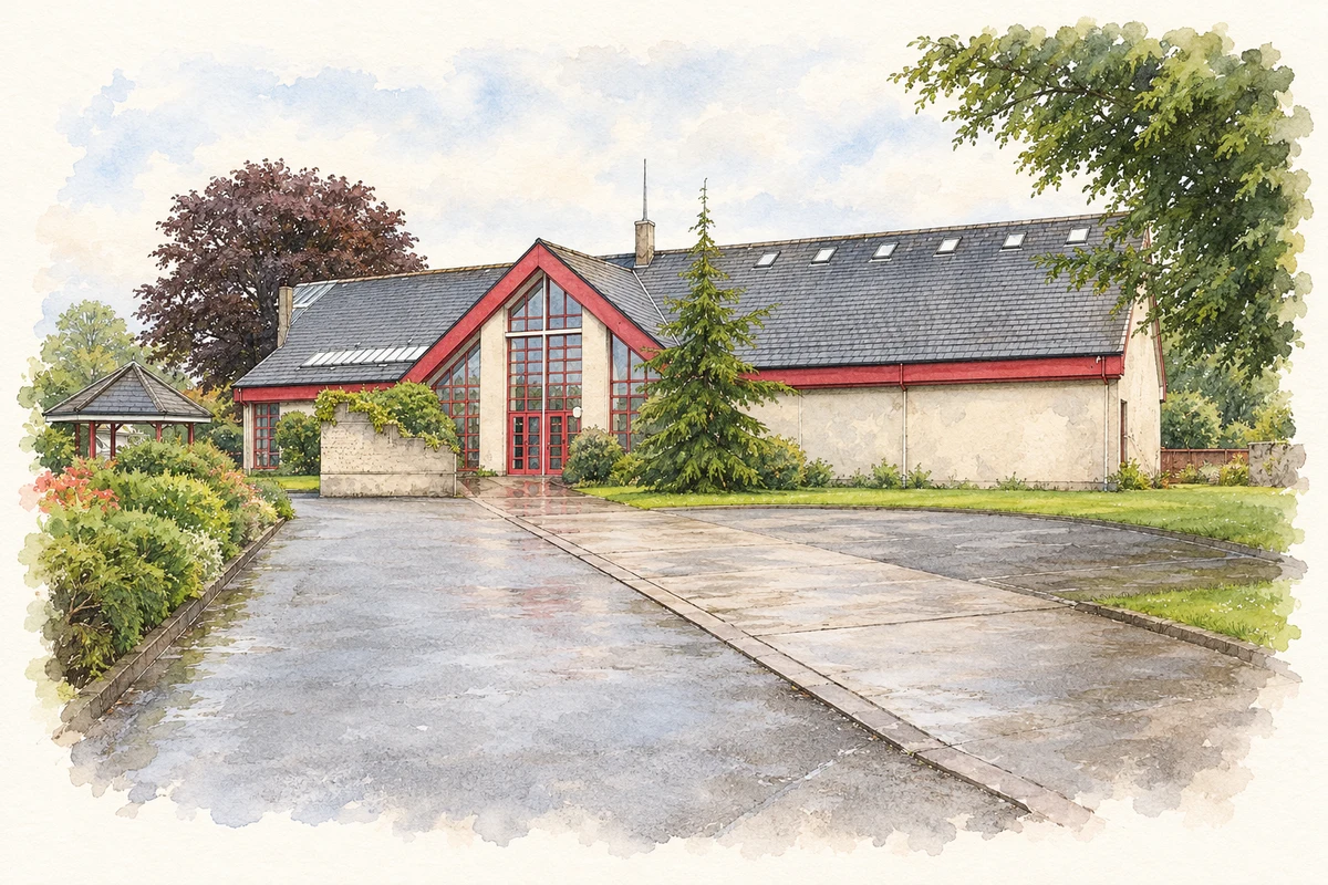
Ballinlough’s residential streets developed across former gardens, orchards and farmland, with a new church and community facilities accompanying the change.
The name
These Irish name elements are associated with this record in the Logainm glossary.
An element’s translation is a clue, rather than a complete explanation of the name. Its form and meaning depend on local history and the full Irish name.
Recorded forms
- Baile an Locha · Irish · main form · validated name
- Ballinlough · English · main form
Place & story
The horticultural landscape beneath the suburb
Ballinlough’s 2025 community biodiversity plan compares nineteenth-century maps with the modern suburb. The earlier landscape was sparsely populated farmland containing orchards, market gardens and tree nurseries. Land now occupied by the Ardfallen Methodist Centre and Japanese Gardens included these horticultural uses. A newer community garden there renews a small part of that productive tradition. This mapped history helps explain why gardens and former orchard sites remain important references within an area now dominated by housing. [2]
A new church for a residential district
Bishop Daniel Cohalan laid the foundation stone of Our Lady of Lourdes Church on 6 October 1935. Local historian Kieran McCarthy’s account records the bishop’s recollection of market gardens giving way to a growing residential district. The original scheme provided for 700 seats, two sacristies and a mortuary chapel. The church was completed in 1938, initially serving the larger Blackrock parish before Ballinlough became a separate parish. Its construction reflects the need for local institutions as the suburb’s population and built area increased. [3] [4]
From Hennerty’s orchard to community space
The present community park occupies ground remembered locally as Hennerty’s orchard, where seasonal workers gathered the fruit. McCarthy’s history of the site links this older land use with the community organisation that emerged in the 1960s. At a meeting on 23 April 1968, residents elected a committee seeking playing fields, a swimming pool and a community centre with facilities for young people. Their programme illustrates how the growing suburb’s needs extended beyond houses to shared places for sport, recreation and meeting. [5]
Geographic information
- Place type
- Population centre
- County
- Cork
- Barony
- Cork
- Civil parish
- Saint Finbar's
- Within
- Blackrock
- Coordinates
- 51.88146, -8.45024 (approximate)
- Logainm ID
- 1416963 ↗
Sources & further reading
- Logainm.ie — Ballinlough. Place names and geographic record, licensed under CC BY 4.0.
- Ballinlough Community Biodiversity Action Plan 2025: historic mapping · Ballinlough community biodiversity planning project
- Laying the foundation stone of Our Lady of Lourdes, 6 October 1935 · Kieran McCarthy, 4 October 2010
- Church of Our Lady of Lourdes · Ballinlough Parish Cork
- Ballinlough Community Park · Kieran McCarthy
- Cork Methodist Church, Ardfallen Centre, Ballinlough, Cork illustration: based on a Methodist Church, Ardfallen Centre, Cork by David Hawgood. AI-assisted watercolour and ink adaptation; cream paper margins added, incidental clutter omitted and fine details simplified. Licence: CC BY-SA 2.0.
Name record retrieved 2026-10-25 · Source record modified 2025-01-10. How this page was prepared.