 placenames
Goleen
An Góilín
Goleen’s buildings connect nineteenth-century worship with maritime craft, while a community submission records the village’s ambitions in 2007.
The name
A reliable full-name meaning has not been established here. The recorded Irish and English forms are given without an unsupported translation.
Recorded forms
- An Góilín · Irish · main form · validated name
- Goleen · English · main form
Place & story
The Catholic church of 1854
Goleen’s Catholic church was built in 1854 on a cruciform plan, with a four-bay nave and a three-stage entrance tower. Its roughly dressed stone walls contrast with carefully worked stone around the pointed openings and buttresses. A copper-covered conical roof crowns the tower. Inside, an open timber roof and western balcony survive alongside a reordered sanctuary. The building occupies a prominent position at the village’s edge. [2]
Sails made inside a former church
The old Church of Ireland building outside Goleen found a maritime use when Christophe Houdaille established Fastnet Sails there in 2004. Reporting from the workshop in 2013, Noel Baker described sewing machines, cutting equipment and a raised wooden platform within the church. Some sails exceeded the floor’s dimensions, making the work particularly demanding. Houdaille’s interview records a craft enterprise adapting a former place of worship, although it does not establish the building’s subsequent use. [3]
A community’s ambitions in 2007
Goleen and District Community Council’s submission of 1 March 2007 to the county development plan review records a sports hall and field nearing completion. The council sought improved water, sewerage and road infrastructure and proposed giving Goleen key-village status. Its wider programme connected farming, fishing, tourism and new forms of employment. This was a statement of local priorities and proposed development, showing how the community wanted to sustain year-round village life. [4]
Geographic information
- Place type
- Population centre
- County
- Cork
- Barony
- Carbery West (W.D.)
- Civil parish
- Kilmoe
- Coordinates
- 51.49249, -9.69924 (approximate)
- Logainm ID
- 1416970 ↗
Sources & further reading
- Logainm.ie — Goleen. Place names and geographic record, licensed under CC BY 4.0.
- Goleen Roman Catholic Church, record 20914714 · National Inventory of Architectural Heritage
- Sailmaker gives up the ghost on expansion plans,10 June 2013 · Noel Baker / Irish Examiner
- Goleen and District Community Council initial submission to Cork County Development Plan review,1 March 2007 · Goleen and District Community Council
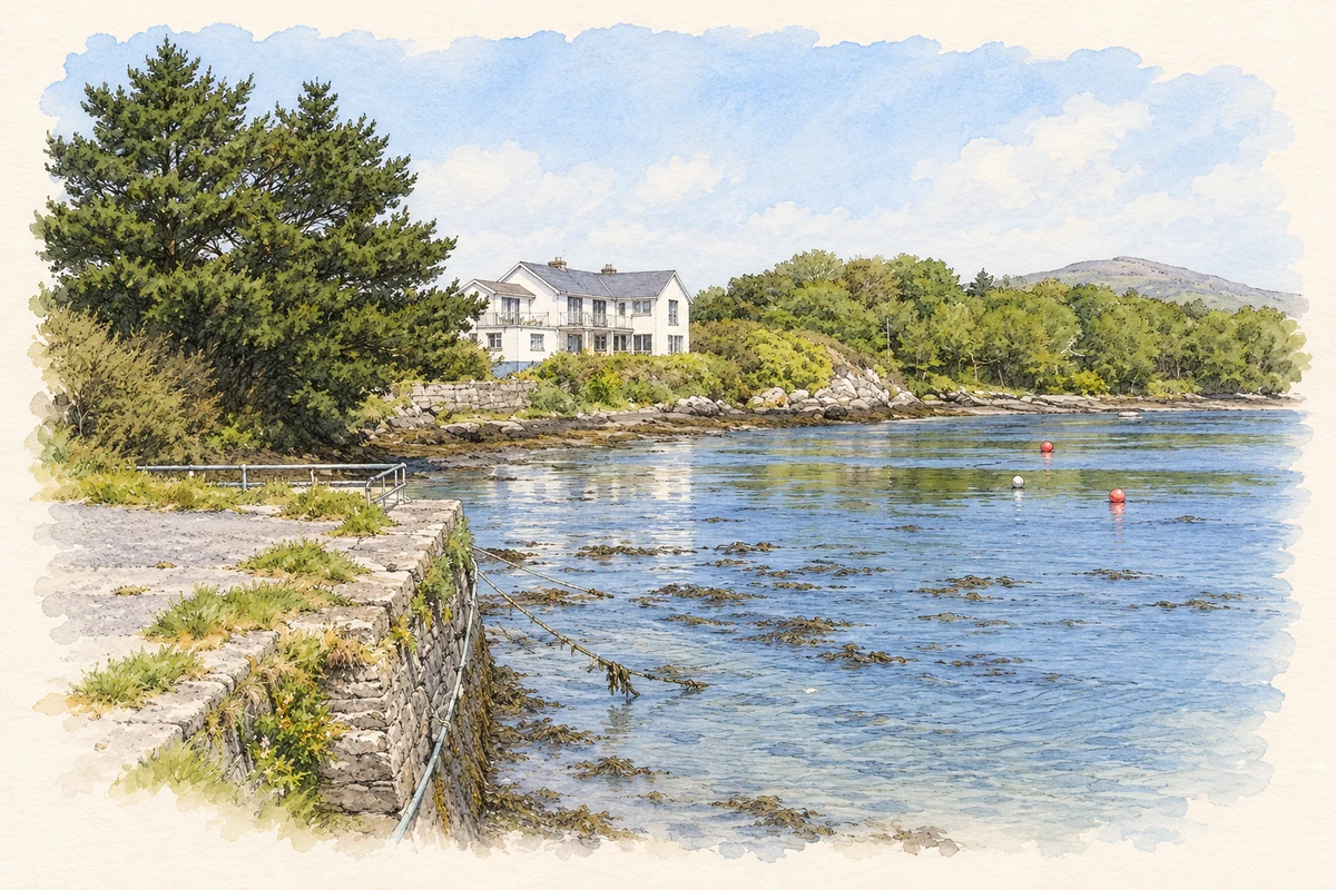
- Quay near Goleen, as photographed in 2011 illustration: based on a Goleen Quay - Goleen Townland by Mac McCarron. AI-assisted watercolour and ink adaptation; cream paper margins added, incidental clutter omitted and fine details simplified. Licence: CC BY-SA 2.0.
Name record retrieved 2026-10-25 · Source record modified 2025-01-10. How this page was prepared.