 placenames
Donnybrook
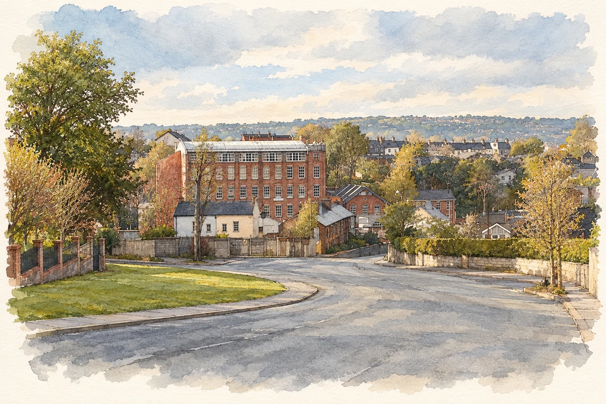
Donnybrook’s industrial past survives in brick mill buildings and housing, with the Mangala woodland preserving the valley that once powered local production.
The name
A reliable full-name meaning has not been established here. The recorded Irish and English forms are given without an unsupported translation.
Recorded forms
- Donnybrook · English · main form
Place & story
A flax mill becomes a woollen factory
The Dictionary of Irish Architects records Richard Rolt Brash’s design for a five-storey flax-spinning mill at Donnybrook for Wallis and Pollock in 1867. The premises were bought by Morrogh and Company in 1889 for woollen manufacture. This change of ownership and production belongs to the wider textile history of Douglas, but the surviving mill complex gives Donnybrook its own substantial industrial landmark. [2]
Brick houses for mill workers
A terrace of six two-storey houses at Grange, Donnybrook, dates from around 1880. The National Inventory of Architectural Heritage considers them likely to have been built for workers at the nearby woollen mills. Red-brick walls and contrasting yellow-brick window and door surrounds connect the terrace visually with the industrial buildings. Together with other workers’ houses, it preserves something of the community that grew around the mills. [3]
The Mangala and the industrial landscape
The Mangala woodland occupies part of the former industrial landscape of Douglas and Donnybrook. Cork City Council’s conservation-area account explains how the falling Douglas or Ballybrack stream encouraged water-powered industry. Mature trees now cover steep valley sides, creating a green corridor among the suburbs. Nearby industrial buildings, the mill owner’s house and workers’ terraces preserve the different kinds of property that once belonged to this working landscape. [4]
Geographic information
- Place type
- Population centre
- County
- Cork
- Barony
- Cork
- Civil parish
- Carrigaline
- Coordinates
- 51.86851, -8.43714
- Logainm ID
- 1417111 ↗
Sources & further reading
- Logainm.ie — Donnybrook. Place names and geographic record, licensed under CC BY 4.0.
- Brash, Richard Rolt: Donnybrook spinning mill · Irish Architectural Archive, Dictionary of Irish Architects
- Grange, Donnybrook: workers’ houses, register 20908625 · National Inventory of Architectural Heritage
- Architectural Conservation Areas: Douglas-Donnybrook, Mangala and Donnybrook Mill · Cork City Council
- Donnybrook Commercial Centre, County Cork illustration: based on a Donnybrook Commercial Centre by Ian Paterson. AI-assisted watercolour and ink adaptation; cream paper margins added, incidental clutter omitted and fine details simplified. Licence: CC BY-SA 2.0.
Name record retrieved 2026-10-25 · Source record modified 2026-08-17. How this page was prepared.