 placenames
Lettershendony
Leitir Seanduine
Planning records and residents’ own research trace Lettershendony’s housing development and a later response to recession.
The name
These Irish name elements are associated with this record in the Logainm glossary.
An element’s translation is a clue, rather than a complete explanation of the name. Its form and meaning depend on local history and the full Irish name.
Recorded forms
- Leitir Seanduine · Irish · main form · validated name
- Lettershendony · English · main form
Place & story
Housing in the 1960s and 1970s
The Derry Area Plan describes Lettershendoney as a rural housing development built in the 1960s, with further housing added to the estate’s northern end in the early 1970s. It places the settlement near the junction of Tirbracken and Edenreagh Roads, on relatively level ground surrounded by rising land, scrub and bog. [2]
Recording family experiences
In July 2013, Lettershandoney District Development Group published an account of its Communities in Action work. Nine local women, mothers and grandmothers, met to document the recession’s effects on their families. Their discussions addressed job insecurity, debt and everyday living costs. The group also produced a film, Going Backwards, to communicate these concerns. [3]
Geographic information
- Place type
- Population centre
- County
- Derry
- Barony
- Tirkeeran
- Civil parish
- Cumber Lower
- Coordinates
- 54.97998, -7.21898 (approximate)
- Logainm ID
- 1417287 ↗
Sources & further reading
- Logainm.ie — Lettershendony. Place names and geographic record, licensed under CC BY 4.0.
- Derry Area Plan 2011, paragraph 16.21 · Department of the Environment, Planning Service
- Lettershandoney, 5 July 2013 · Lettershandoney District Development Group / Communities in Action
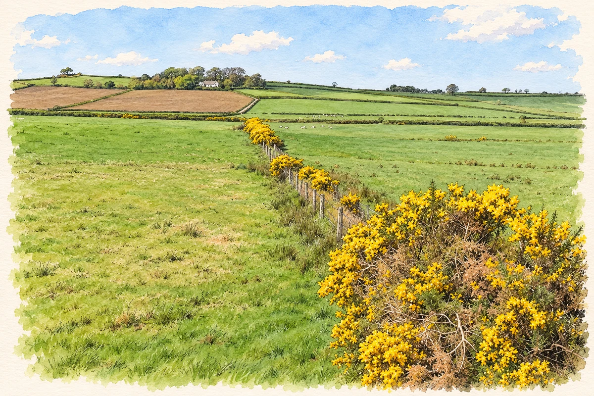
- Fields in Lettershendoney townland, as photographed in 2007 illustration: based on a Lettershendoney Townland by Kenneth Allen. AI-assisted watercolour and ink adaptation; cream paper margins added, incidental clutter omitted and fine details simplified. Licence: CC BY-SA 2.0.
Name record retrieved 2026-10-25 · Source record modified 2014-10-24. How this page was prepared.