 placenames
Killour
Cill Odhar
The archaeological record describes a fragmentary church and a group of holy wells in Killour townland.
The name
These Irish name elements are associated with this record in the Logainm glossary.
An element’s translation is a clue, rather than a complete explanation of the name. Its form and meaning depend on local history and the full Irish name.
Recorded forms
- Cill Odhar · Irish · main form · validated name
- Killour · English · main form
Place & story
The church site
The Archaeological Survey records a short surviving stretch of church wall on high ground in Killour. Dense vegetation complicated its interpretation. A surrounding feature was recorded as a possible ecclesiastical enclosure, rather than a securely identified monastery, and was subsequently removed during land reclamation. [2] [3]
Three holy wells
Three nearby springs are recorded as holy wells. Tobar-an-Bhric emerges at the foot of a limestone plateau; Tobar Fheicin rises in marshy ground. Tobar Naomh Phadraic is described as a semicircular stone-built well, overgrown with briars, with an active spring. These are descriptions recorded in the survey, rather than a claim about their present condition. [4]
Geographic information
- Place type
- Population centre
- County
- Mayo
- Barony
- Kilmaine
- Civil parish
- Ballinchalla
- Coordinates
- 53.58297, -9.28357 (approximate)
- Logainm ID
- 1417293 ↗
Sources & further reading
- Logainm.ie — Killour. Place names and geographic record, licensed under CC BY 4.0.
- Archaeological Survey of Ballinrobe and District1994,no624:MA117-031001 · D. Lavelle; Archaeological Survey of Ireland
- Archaeological Survey of Ballinrobe and District1994,no593:MA117-031005 · D. Lavelle; revised by Jane O’Shaughnessy,Archaeological Survey of Ireland
- Archaeological Survey of Ballinrobe and District1994,nos657–659:MA117-031002–4 · D. Lavelle; Archaeological Survey of Ireland
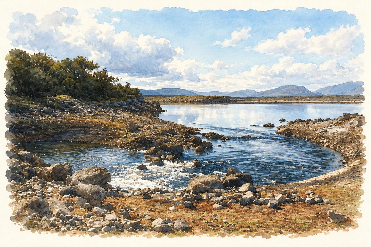
- Castle Bay on Lough Mask near Killour, as photographed in September 1990 illustration: based on a Swallow Hole, Castle Bay, Lough Mask by Mike Simms. AI-assisted watercolour and ink adaptation; cream paper margins added, incidental clutter omitted and fine details simplified. Licence: CC BY-SA 2.0.
Name record retrieved 2026-10-25 · Source record modified 2025-01-10. How this page was prepared.