A reliable full-name meaning has not been established here. The recorded Irish and English forms are given without an unsupported translation.
Recorded forms
Tearmann Bearaigh· Irish · main form
Termonbarry· English · main form
Place & story
A bridge between counties
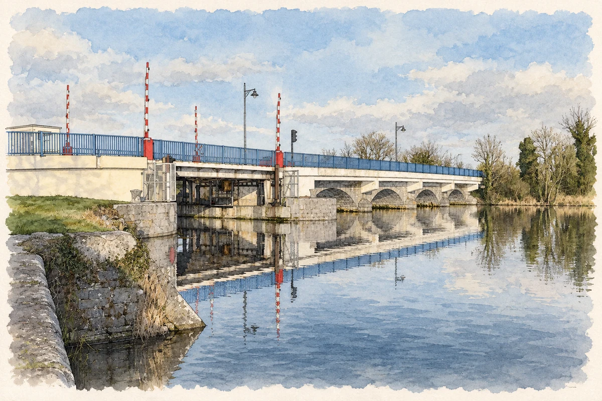
Termonbarry's Shannon bridge links Roscommon and Longford. Built around 1845, its stone spans cross a central island, with three arches on the eastern side and four on the west. The original crossing included a swivelling metal section for river traffic. Later engineering introduced a lifting span and widened the roadway. The architectural inventory tentatively associates its design with Shannon Navigation engineer Thomas Rhodes; the attribution is not certain.[2]
Managing the Shannon’s water
South of the bridge, the limestone weir belongs to the same mid-nineteenth-century transformation of the river. The architectural inventory dates it to about 1845 and notes later sluice gates and an access walkway. It replaced an earlier fish weir recorded on the 1838 Ordnance Survey map. The sluices regulate navigation water levels, linking the visible river structure with the practical demands of keeping boats moving along the Shannon.[3]
Hospitality beside the crossing
Keenan's gives another perspective on the crossing's history. The hotel's own account dates the original pub to 1838 and names Hubert Reynolds as its founder. It records the Keenan family's purchase in the 1860s and the subsequent development of the pub into a restaurant and hotel. Old photographs and surviving pub furnishings form part of the family's presentation of that long association with Tarmonbarry.[4]
Both counts use the 2016 settlement boundary, allowing like-for-like comparison. CSO supplies the 2022 count on this older boundary for comparison only. The official 2022 Built Up Area has different boundaries.
View population figures
Termonbarry — Census 2016 settlement footprint — census population
These figures use different area definitions. Read the boundary note before comparing them.
Termonbarry, Co Roscommon
Published census settlement populations
443people · 2016
Settlement boundaries changed during this period. Differences may reflect boundary changes as well as population change. Where a 2011 legal-town-and-environs count is shown, it has not been recalculated onto the 2016 settlement boundary.
Termonbarry Bridge over the River Shannon illustration: based on a County Longford - Termonbarry Bridge - 20130301161713 by Jonjobaker. AI-assisted watercolour and ink adaptation; cream paper margins added, incidental clutter omitted and fine details simplified. Licence: CC BY-SA 4.0.
 placenames