 placenames
Ballindrait
Baile an Droichid
Ballindrait’s Deele crossing, Presbyterian church and former goods shed preserve different strands of village history.
The name
A reliable full-name meaning has not been established here. The recorded Irish and English forms are given without an unsupported translation.
Recorded forms
- Baile an Droichid · Irish · main form · validated name
- Ballindrait · English · main form
Place & story
The crossing over the Deele
Ballindrait's three-arched bridge carries the road over the Deele River at the village's southern end. The architectural inventory places its likely origins in the eighteenth century, while allowing for earlier fabric. Its slightly raised deck, pointed cutwaters and rubble masonry contrast with the brickwork used in the altered central arch. Maps establish a long history of crossing here, although they do not settle every stage of the present bridge's construction. [2]
Church and Sunday school
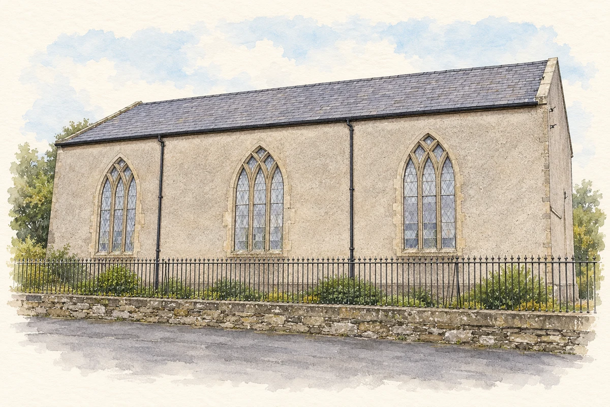
The Presbyterian church is a plain hall with pointed windows and a gallery inside. It probably dates from the early nineteenth century, with later alterations to its window openings. The Sunday school behind it bears a date stone of 1878. The church, school, graveyard and boundary railings preserve a compact group of buildings associated with worship and education at the centre of the village. [3]
A surviving railway workplace
A stone goods shed east of Ballindrait recalls the Strabane–Letterkenny narrow-gauge railway, opened in 1909 and closed on 1 January 1960. The station itself has been demolished, but the shed retains loading doors, a projecting canopy and some early metal-framed windows. Its size and handling arrangements preserve evidence of freight traffic, complementing other surviving railway buildings nearby, including the former stationmaster's house. [4]
Geographic information
- Place type
- Population centre
- County
- Donegal
- Barony
- Raphoe North
- Civil parish
- Clonleigh
- Within
- Ballindrait
- Coordinates
- 54.84306, -7.52212
- Logainm ID
- 1418881 ↗
Sources & further reading
- Logainm.ie — Ballindrait. Place names and geographic record, licensed under CC BY 4.0.
- Ballindrait Bridge, 40834010 · National Inventory of Architectural Heritage
- Ballindrait Presbyterian Church, 40834013 · National Inventory of Architectural Heritage
- Ballindrait railway goods shed, 40834017 · National Inventory of Architectural Heritage
- Ballindrait Presbyterian Church, side elevation illustration: based on a Ballindrait Presbyterian Church, County Donegal by Kenneth Allen. AI-assisted watercolour and ink adaptation; cream paper margins added, incidental clutter omitted and fine details simplified. Licence: CC BY-SA 2.0.
Name record retrieved 2026-10-25 · Source record modified 2025-01-10. How this page was prepared.