Pettigo's river powered industry and helped define a border settlement. Its railway carried pilgrims to Lough Derg, while a central memorial recalls the fighting of 1922.
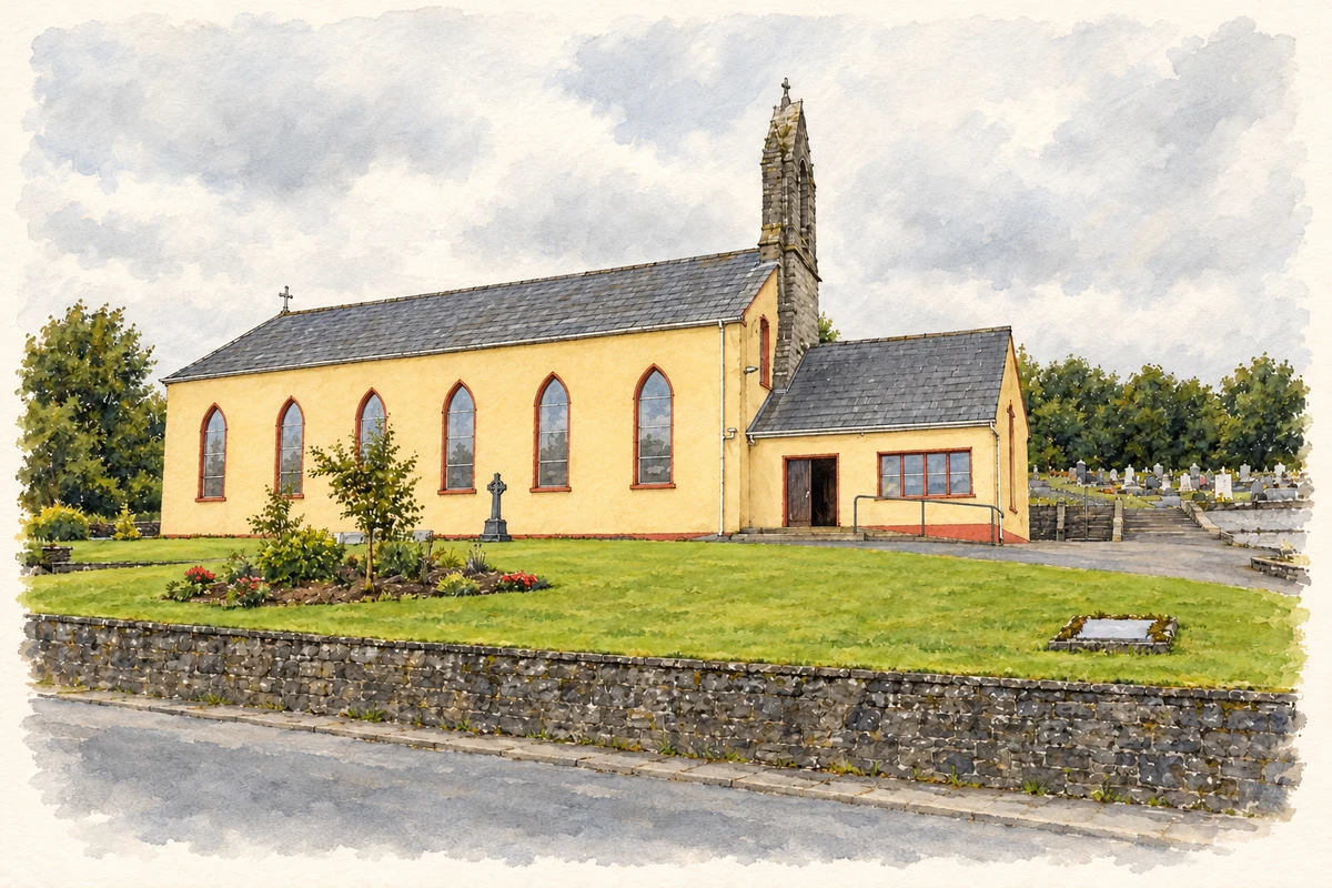
Illustration, St Mary Church, Pettigo
⊕Recorded locationPettigo54.54889° N · 7.83769° WInteractive map supplied by OpenStreetMap.
A reliable full-name meaning has not been established here. The recorded Irish and English forms are given without an unsupported translation.
Recorded forms
Paiteagó· Irish · main form · validated name
Pettigo· English · main form
Place & story
Waterpower on the Termon
A mill stood at Ardnaglass on the Termon River by 1756. The surviving complex developed through the nineteenth century, with a major flax-milling expansion by the Leslie family in 1851. Corn milling and later sawing added other uses; wooden egg boxes were among its products. Sluices at lakes upstream helped maintain water for the machinery in dry periods. The mill also generated electricity for Pettigo in the 1930s. The ESB bought it in 1957, and power generation continued into the 1960s. Its buildings preserve the changing uses of one industrial site over generations.[2]
The station and the pilgrims
Pettigo's station formed part of the Bundoran line, opened in June 1866 and closed in October 1957. Contractors Brassey and Field completed the route after an earlier contractor's bankruptcy. The stone station combined passenger accommodation with the stationmaster's house, beside a goods shed and railway bridge. Many thousands of summer pilgrims passed through on their way to and from the three-day pilgrimage at Lough Derg. The surviving station buildings and platforms retain a physical record of that seasonal movement, even after the railway ceased running.[3]
The 1953 memorial
A soldier holding a rifle stands on the limestone memorial at the village road junction. Erected in 1953, it commemorates Patrick Flood of Pettigo, William Kearney and Bernard McCanny of Drumquin, and William Deasley of Dromore in County Tyrone, who died following the fighting of June 1922. Clashes involving Irish forces and Ulster Special Constabulary had led to intervention by the British Army, which occupied Pettigo for several months. Defence minister Oscar Traynor unveiled the monument. Its inscriptions and central location made remembrance of the episode part of the everyday streetscape.[4]
Both counts use the 2016 settlement boundary, allowing like-for-like comparison. CSO supplies the 2022 count on this older boundary for comparison only. The official 2022 Built Up Area has different boundaries.
View population figures
Pettigo — Census 2016 settlement footprint — census population
Pettigo (pt.) (a), Donegal — Census town, CSO 2006 report
2002–2006: census town
280people · 2006
These are the historical areas published in the 2006 census report. Boundaries may differ between censuses and from modern settlements. Legal towns, environs and suburbs are shown separately; none has been combined into a modern settlement total.
View population figures
Pettigo (pt.) (a), Donegal — Census town, CSO 2006 report — census population
Pettigo (pt.) (a), Donegal — Census town, CSO 1996 report
1991–1996: census town
320people · 1996
These are the historical areas published in the 1996 census report. Boundaries may differ between censuses and from modern settlements. Legal towns, environs and suburbs are shown separately; none has been combined into a modern settlement total.
View population figures
Pettigo (pt.) (a), Donegal — Census town, CSO 1996 report — census population
These figures use different area definitions. Read the boundary note before comparing them.
Pettigo (pt.) (a), Donegal
Published census settlement populations
239people · 2016
Settlement boundaries changed during this period. Differences may reflect boundary changes as well as population change. Where a 2011 legal-town-and-environs count is shown, it has not been recalculated onto the 2016 settlement boundary.
St Mary Church, Pettigo illustration: based on a St Mary's RC Church, Pettigo by Kenneth Allen. AI-assisted watercolour and ink adaptation; cream paper margins added, incidental clutter omitted and fine details simplified. Licence: CC BY-SA 2.0.
 placenames