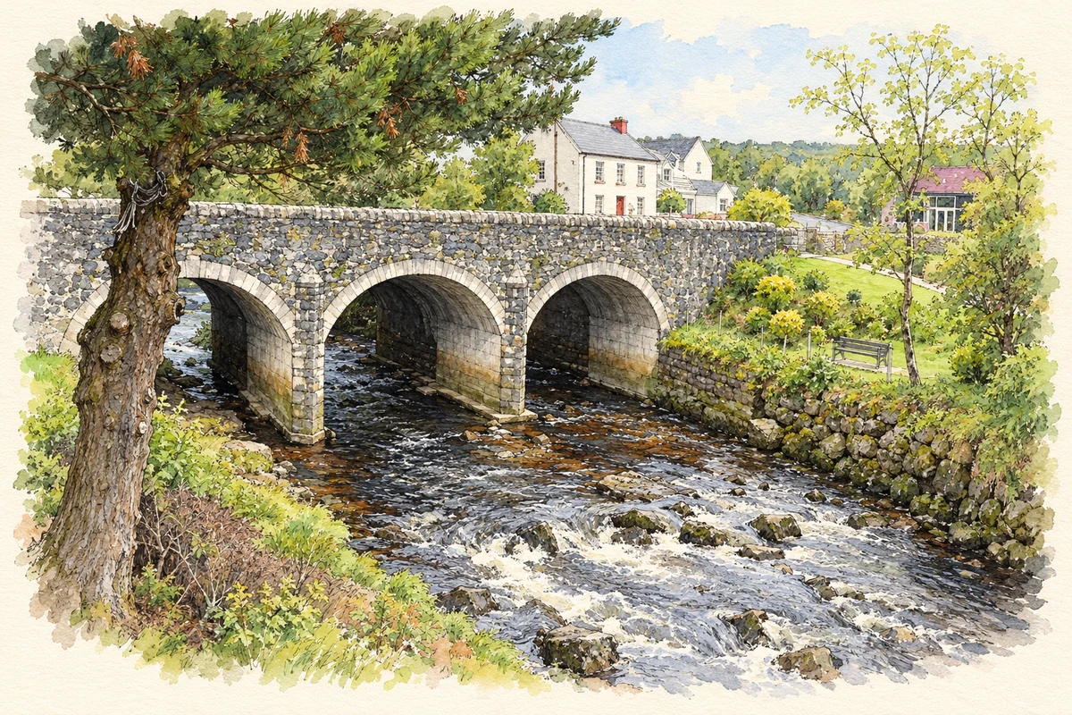
Carrick's history is visible in St Columba's Church, its long-established vocational school and the lives of people educated or working in the village.
Illustration, Carrick bridge over the Glen River
⊕Recorded locationCarrick54.65803° N · 8.63558° WInteractive map supplied by OpenStreetMap.
These Irish name elements are associated with this record in the Logainm glossary.
An element’s translation is a clue, rather than a complete explanation of the name. Its form and meaning depend on local history and the full Irish name.
Recorded forms
An Charraig· Irish · main form · validated name
Carrick· English · main form
Place & story
St Columba's church
St Columba's stands prominently at the western end of Carrick. Its nineteenth-century rubble-stone walls are dressed with sandstone around the corners and pointed windows. The square tower acquired its upper stage and stepped battlements in a later alteration, around 1900. Inside, a timber king-post roof spans the nave, while an elaborate Caen-stone reredos behind the altar was added in 1883 to designs by George Coppinger Ashlin. Memorials to former parish priests occupy the church grounds.[2]
The long wait for a secondary school
The 1926 Gaeltacht Commission identified Carrick as a suitable location for a second-level school serving the Slieve League peninsula. Local pressure continued: in August 1944 John Maloney raised the recommendation at the parish council. The first twelve boys finally enrolled in 1950. Coláiste na Carraige marked this history with the publication of Scéal Scoile 1950–2013, collecting contributions from former staff and pupils for a reunion in 2013.[3]
People & connections
Maureen Gara's nursing career
Maureen Gara, born near Carrick in 1916, attended Meenaveen National School and later Carrick National School. She trained as a nurse and joined Queen Alexandra's Imperial Military Nursing Service in 1943. In June 1944 she went to Normandy with the 79 th General Hospital, caring for casualties at Bayeux; the hospital later moved to Holland. Her subsequent military nursing career took her to several overseas postings. She became a lieutenant-colonel and received the Royal Red Cross in 1969.[4][5]
People & connections
Canon McDyer and the wider parish
James McDyer's work connected Carrick with community development across Glencolmcille parish. The Folk Village, which he founded at Glencolmcille in 1967, preserves the history of local domestic life in recreated cottages. His projects also included a community centre, rural electrification and co-operative enterprise. Carrick hosted the special Mass marking his golden jubilee as a priest in June 1987, shortly before his death that November.[6]
Both counts use the 2016 settlement boundary, allowing like-for-like comparison. CSO supplies the 2022 count on this older boundary for comparison only. The official 2022 Built Up Area has different boundaries.
View population figures
An Charraig — Census 2016 settlement footprint — census population
An Charraig, Donegal — Census town, CSO 2006 report
2002–2006: census town
253people · 2006
These are the historical areas published in the 2006 census report. Boundaries may differ between censuses and from modern settlements. Legal towns, environs and suburbs are shown separately; none has been combined into a modern settlement total.
View population figures
An Charraig, Donegal — Census town, CSO 2006 report — census population
An Charraig, Donegal — Census town, CSO 1996 report
1991–1996: census town
257people · 1996
These are the historical areas published in the 1996 census report. Boundaries may differ between censuses and from modern settlements. Legal towns, environs and suburbs are shown separately; none has been combined into a modern settlement total.
View population figures
An Charraig, Donegal — Census town, CSO 1996 report — census population
Figures cover the historical town area printed in the 1986 report. Boundaries may have changed between censuses. Legal town, environs and suburb totals remain separate and differ from modern settlement boundaries.
View population figures
Carrick, Donegal — Census town, CSO 1986 report — census population
These figures use different area definitions. Read the boundary note before comparing them.
An Charraig, Donegal
Published census settlement populations
265people · 2016
Settlement boundaries changed during this period. Differences may reflect boundary changes as well as population change. Where a 2011 legal-town-and-environs count is shown, it has not been recalculated onto the 2016 settlement boundary.
 placenames