Burnfoot developed beside a river crossing at the base of Inishowen. Its history connects road traffic, water-powered industry and a railway built across a landscape transformed by drainage embankments.
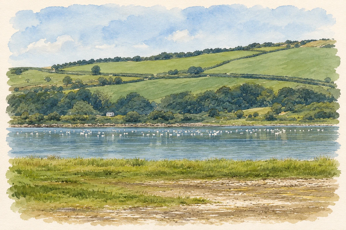
Inch Wildfowl Reserve, near Burnfoot
⊕Recorded locationBurnfoot55.05781° N · 7.40255° WInteractive map supplied by OpenStreetMap.
These Irish name elements are associated with this record in the Logainm glossary.
An element’s translation is a clue, rather than a complete explanation of the name. Its form and meaning depend on local history and the full Irish name.
Recorded forms
Bun na hAbhann· Irish · main form · validated name
Burnfoot· English · main form
Place & story
A settlement takes shape at the bridge
Early nineteenth-century maps do not show Burnfoot as an established village. By the beginning of the twentieth century, however, a crossroads settlement had formed beside the bridge over the Burnfoot River. Roads radiated towards Derry, Buncrana, Muff and Letterkenny. The bridge itself appears on the first Ordnance Survey map published in 1836. Later road widening changed its structure and parapets, while the river crossing remained a central feature of the village's development.[2]
Mills and brickmaking
Historic maps record a flax mill and a corn mill along the river at the north-eastern edge of Burnfoot. A brickworks formed another part of the settlement's industrial landscape beside the railway. The cultural-heritage assessment found that housing had subsequently occupied much of the brickworks site, although a water-filled former quarry area remained. These records show a village whose working life included both processing agricultural crops and manufacturing building materials.[2]
The short-lived route to Farland Point
The Londonderry and Lough Swilly Railway opened a line from Derry through Burnfoot to Farland Point in 1863. It crossed the Trady embankment and was intended to connect with steamer services. A branch to Buncrana followed in 1864, joining near Burnfoot at Tooban. The steamer connections proved unsatisfactory and the Farland Point service closed in 1866. Parts of that route later became useful again when a narrow-gauge railway linked Letterkenny with the Derry line.[3]
Land won from Lough Swilly
The broad flatlands near Burnfoot are the result of major nineteenth-century engineering. Earlier schemes had proposed a canal between the Derry area and Lough Swilly, but the lasting transformation came through embankment construction and drainage. The Inch embankment was completed in 1855 and the Farland embankment in 1856. They linked Inch with the mainland and the former Isle of Burt, enclosing land that had previously lain within the tidal lough. The resulting fields give Burnfoot's surroundings their unusually level appearance.[4]
Both counts use the 2016 settlement boundary, allowing like-for-like comparison. CSO supplies the 2022 count on this older boundary for comparison only. The official 2022 Built Up Area has different boundaries.
View population figures
Burnfoot — Census 2016 settlement footprint — census population
These are the historical areas published in the 2006 census report. Boundaries may differ between censuses and from modern settlements. Legal towns, environs and suburbs are shown separately; none has been combined into a modern settlement total.
View population figures
Burnfoot, Donegal — Census town, CSO 2006 report — census population
These are the historical areas published in the 1996 census report. Boundaries may differ between censuses and from modern settlements. Legal towns, environs and suburbs are shown separately; none has been combined into a modern settlement total.
View population figures
Burnfoot, Donegal — Census town, CSO 1996 report — census population
Figures cover the historical town area printed in the 1986 report. Boundaries may have changed between censuses. Legal town, environs and suburb totals remain separate and differ from modern settlement boundaries.
View population figures
Burnfoot, Donegal — Census town, CSO 1986 report — census population
These figures use different area definitions. Read the boundary note before comparing them.
Burnfoot, Donegal
Published census settlement populations
450people · 2016
Settlement boundaries changed during this period. Differences may reflect boundary changes as well as population change. Where a 2011 legal-town-and-environs count is shown, it has not been recalculated onto the 2016 settlement boundary.
 placenames