 placenames
Cabinteely
Cábán tSíle
Cabinteely combines a historic village, a former country-house estate and an important early medieval burial site. Its surviving buildings and excavated remains reveal very different periods of settlement in south Dublin.
The name
A reliable full-name meaning has not been established here. The recorded Irish and English forms are given without an unsupported translation.
Recorded forms
- Cábán tSíle · Irish · main form · validated name
- Cabinteely · English · main form
Place & story
The cemetery beneath Mount Offaly
Excavations at Mount Offaly, about 700 metres south-west of Cabinteely village, uncovered at least 1,553 burials in 1998. Malachy Conway’s excavation report provisionally dated the sequence from around the fifth or sixth century to the eleventh or twelfth. Successive enclosing ditches show the cemetery expanding. A furnace, metalworking debris, butchered animal bones and imported pottery also indicated activities beyond burial, suggesting a place with both religious and secular functions. [2]
Saint Brigid’s village church
Archbishop Daniel Murray opened Saint Brigid’s Church in Cabinteely on 10 October 1836. It replaced an eighteenth-century chapel and initially belonged to Kingstown parish. The parish’s later organisation changed repeatedly: Cabinteely came under Ballybrack in 1870, subsequently shared a parish with Foxrock, and separated from Foxrock in 1971. The village church thus remained a local religious centre through several changes in the area it served. [3]
Robert Nugent’s country house
Cabinteely House was built in 1769 for Robert Nugent on land leased from the Byrne family. Its design is attributed to Thomas Cooley. The original estate occupied thirty-two acres and eventually expanded to 222, with farm buildings, gardens and plantations. Its elevated position and winding, wooded approach formed part of a deliberately landscaped setting rather than an isolated mansion standing apart from its grounds. [4]
From private estate to public ownership
The house acquired new uses and owners during the twentieth century. It served as a military hospital and depot during the First World War and was bought by Joseph McGrath in 1933. Some estate land was sold for housing in the 1970s. Dublin County Council acquired the house and parkland in 1984; responsibility passed to the newly established Dún Laoghaire–Rathdown County Council in 1994. [4]
Geographic information
Sources & further reading
- Logainm.ie — Cabinteely. Place names and geographic record, licensed under CC BY 4.0.
- 1998:124, Mount Offaly, Cabinteely, licence 98E0035 · Malachy Conway, Margaret Gowen and Co. Ltd.
- Parish History · Saint Brigid’s Parish, Cabinteely
- Cabinteely Greenway Heritage Appraisal, historic context, page 8 · John McLaughlin Architects, 14 August 2025, for DBFL and Dún Laoghaire–Rathdown County Council
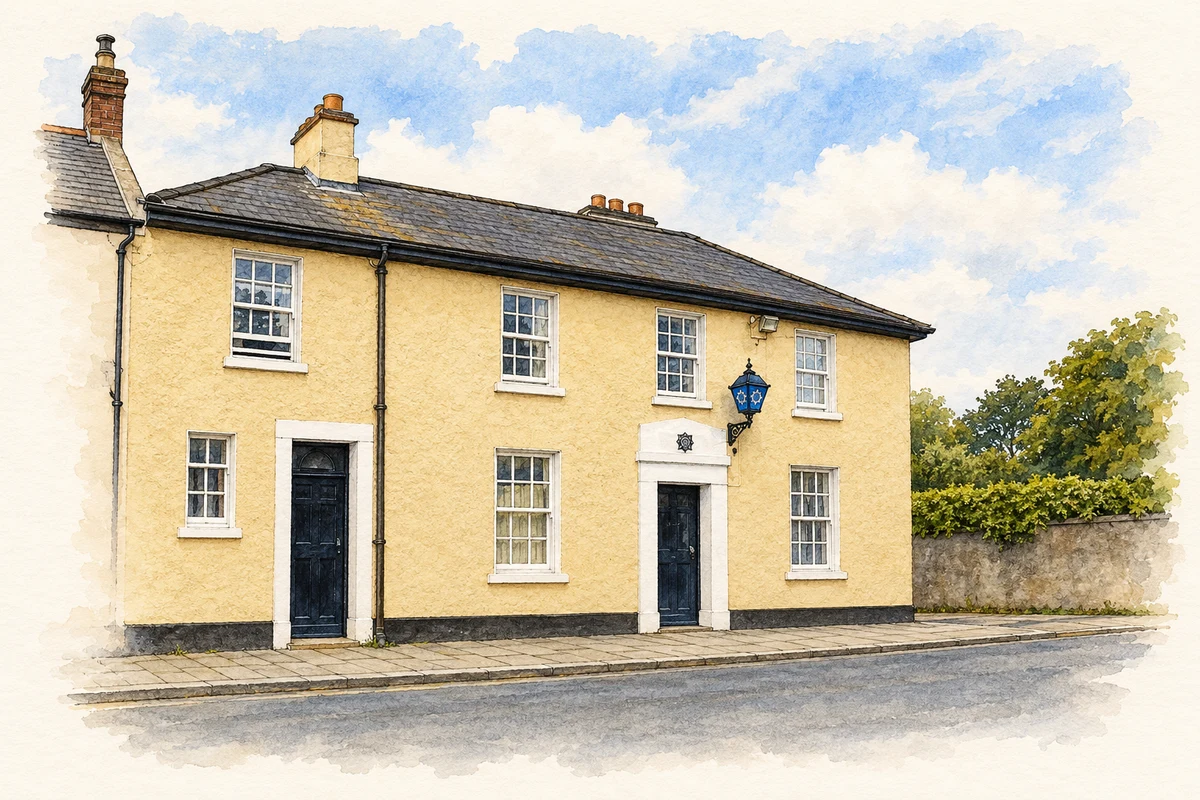
- Garda station, Cabinteely illustration: based on a Garda Station - Cabinteely by Raymond Okonski. AI-assisted watercolour and ink adaptation; cream paper margins added, incidental clutter omitted and fine details simplified. Licence: CC BY-SA 2.0.
Name record retrieved 2026-10-25 · Source record modified 2015-04-22. How this page was prepared.