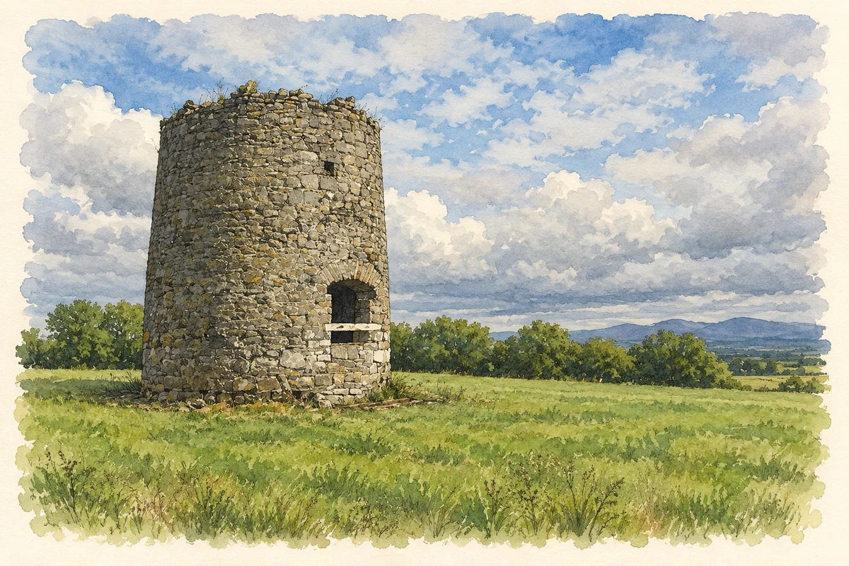
Garristown's hilltop windmill records its eighteenth-century builders, while its Carnegie library preserves a fragment of medieval sculpture found in the village graveyard.
Illustration, Surviving windmill tower at Garristown
⊕Recorded locationGarristown53.56513° N · 6.38189° WInteractive map supplied by OpenStreetMap.
These Irish name elements are associated with this record in the Logainm glossary.
An element’s translation is a clue, rather than a complete explanation of the name. Its form and meaning depend on local history and the full Irish name.
Recorded forms
Baile Gháire· Irish · main form · validated name
Garristown· English · main form
Place & story
The windmill and its named builders
The surviving windmill stands on a hill with wide views across north Fingal. An external plaque names Edward and Marie Walsh of Borranstown as its builders and gives the date 1736. Another stone inside is marked 1827, while names on a further plaque have been deliberately chipped away. The tower occupies a possible earlier hilltop enclosure. Its position suited the use of wind power in a district where many streams were relatively slow, making exposed hilltops valuable locations for milling.[2]
A Carnegie library beside the church
Garristown's library was constructed in the early twentieth century through Andrew Carnegie's programme of library funding. It stands east of Main Street beside the Church of the Assumption, placing reading and religious institutions close together at the village centre. Carnegie directed part of his industrial fortune into public libraries in Ireland and elsewhere. Garristown's building was refurbished in 2008, when a contemporary zinc-clad annexe was added. The project extended a building created through philanthropy while retaining its historic role in the village.[3]
A fifteenth-century woman carved in stone
A fragment of a medieval female effigy, now in Garristown library, was found in the graveyard of the old church, where it had been reused as a grave marker. The surviving lower portion shows a heavy woollen skirt lifted to reveal a smock beneath it. The figure's feet rest on a tasselled cushion. Dated to the fifteenth century, it belongs to a regional tradition of sculpture associated with the Pale. The carved clothing preserves unusually tangible detail of medieval dress within the village's surviving heritage.[4]
Both counts use the 2016 settlement boundary, allowing like-for-like comparison. CSO supplies the 2022 count on this older boundary for comparison only. The official 2022 Built Up Area has different boundaries.
View population figures
Garristown — Census 2016 settlement footprint — census population
These are the historical areas published in the 2006 census report. Boundaries may differ between censuses and from modern settlements. Legal towns, environs and suburbs are shown separately; none has been combined into a modern settlement total.
View population figures
Garristown, Fingal — Census town, CSO 2006 report — census population
These are the historical areas published in the 1996 census report. Boundaries may differ between censuses and from modern settlements. Legal towns, environs and suburbs are shown separately; none has been combined into a modern settlement total.
View population figures
Garristown, Fingal — Census town, CSO 1996 report — census population
Figures cover the historical town area printed in the 1986 report. Boundaries may have changed between censuses. Legal town, environs and suburb totals remain separate and differ from modern settlement boundaries.
View population figures
Garristown, Dublin — Census town, CSO 1986 report — census population
These figures use different area definitions. Read the boundary note before comparing them.
Garristown, Fingal
Published census settlement populations
509people · 2016
Settlement boundaries changed during this period. Differences may reflect boundary changes as well as population change. Where a 2011 legal-town-and-environs count is shown, it has not been recalculated onto the 2016 settlement boundary.
 placenames