These Irish name elements are associated with this record in the Logainm glossary.
An element’s translation is a clue, rather than a complete explanation of the name. Its form and meaning depend on local history and the full Irish name.
Recorded forms
Ráth Cúil· Irish · main form · validated name
Rathcoole· English · main form
Place & story
People & connections
Felix Rourke on the Naas Road
Felix Rourke’s father kept a turnpike gate and carman’s stage about half a mile from Rathcoole. After work as a shoemaker’s apprentice and tannery clerk in Dublin, Rourke returned to help with the family businesses. He joined the United Irishmen in 1798 and became an organiser in Uppercross and Kildare. His early life joined the road’s commercial traffic with the political networks that later mobilised along it.[2]
The aftermath of Emmet’s rising
Rourke became involved in the preparations for the 1803 rebellion. On the night of the rising he advised men arriving from Naas to turn back when he judged the attempt had failed. Arrest, trial and conviction followed. He was hanged at Rathcoole on 10 September 1803 at the burnt-out house of the transported parish priest James Harold. The episode gives the village a direct place in the aftermath of the Dublin revolt.[2]
House and courthouse
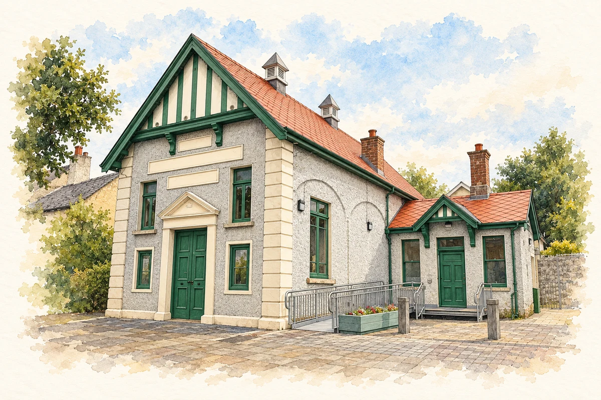
Rathcoole House was already standing by 1798. NIAH records a five-bay farmhouse over a basement, with a T-shaped plan and a bowed rear return. The Old Courthouse on Main Street has found a later public role hosting concerts, exhibitions, theatre and community events. These buildings preserve different scales of the village’s history: a substantial domestic property and a civic space adapted for gathering.[3][5]
Folklore & tradition
A fort associated with Fionn’s father
South Dublin’s visitor account records the local tradition of a fort associated with the father of Fionn Mac Cumhaill. This is a legendary association preserved in the council’s interpretation of the village. No particular surviving earthwork is identified here as the hero’s family home.[4]
Both counts use the 2016 settlement boundary, allowing like-for-like comparison. CSO supplies the 2022 count on this older boundary for comparison only. The official 2022 Built Up Area has different boundaries.
View population figures
Rathcoole — Census 2016 settlement footprint — census population
Rathcoole, South Dublin — Census town, CSO 2006 report
2002–2006: census town
2,927people · 2006
These are the historical areas published in the 2006 census report. Boundaries may differ between censuses and from modern settlements. Legal towns, environs and suburbs are shown separately; none has been combined into a modern settlement total.
View population figures
Rathcoole, South Dublin — Census town, CSO 2006 report — census population
Rathcoole, South Dublin — Census town, CSO 1996 report
1991–1996: census town
2,784people · 1996
These are the historical areas published in the 1996 census report. Boundaries may differ between censuses and from modern settlements. Legal towns, environs and suburbs are shown separately; none has been combined into a modern settlement total.
View population figures
Rathcoole, South Dublin — Census town, CSO 1996 report — census population
Figures cover the historical town area printed in the 1986 report. Boundaries may have changed between censuses. Legal town, environs and suburb totals remain separate and differ from modern settlement boundaries.
View population figures
Rathcoole, Dublin — Census town, CSO 1986 report — census population
These figures use different area definitions. Read the boundary note before comparing them.
Rathcoole, South Dublin
Published census settlement populations
4,351people · 2016
Settlement boundaries changed during this period. Differences may reflect boundary changes as well as population change. Where a 2011 legal-town-and-environs count is shown, it has not been recalculated onto the 2016 settlement boundary.
Former Court of Petty Sessions, Rathcoole, County Dublin illustration: based on a Court of Petty Sessions, Rathcoole - 2025-08-03 by 瑞丽江的河水. AI-assisted watercolour and ink adaptation; cream paper margins added, incidental clutter omitted and fine details simplified. Licence: CC BY-SA 4.0.
 placenames