 placenames
Booterstown
Baile an Bhóthair
Booterstown’s shore and streets preserve the effects of railway building, estate patronage and carefully planned workers’ housing.
The name
These Irish name elements are associated with this record in the Logainm glossary.
An element’s translation is a clue, rather than a complete explanation of the name. Its form and meaning depend on local history and the full Irish name.
Recorded forms
- Baile an Bhóthair · Irish · main form · validated name
- Booterstown · English · main form
Place & story
A marsh shaped by the railway
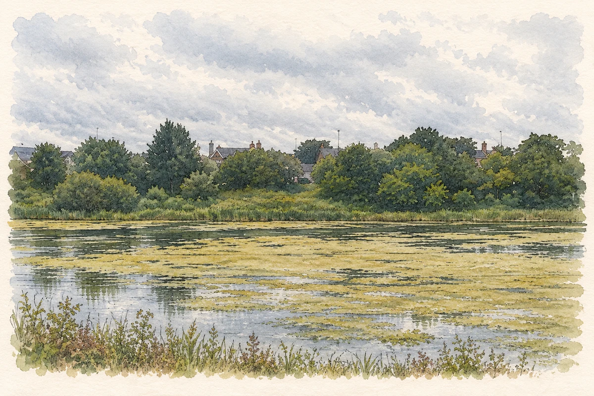
The Dublin–Kingstown railway changed Booterstown’s shoreline in 1834. Its raised embankment cut off a strip of Merrion Strand, creating a lagoon between the railway and the older shore. Reclamation reduced that waterlogged area, while parts were grazed or cultivated; the marsh was drained for crops during both World Wars. After the allotments fell out of use, wetland vegetation returned. An Taisce now manages the surviving brackish marsh, where freshwater and seawater sustain different habitats and provide feeding and resting places for migrating birds. [2]
The Pembroke workers’ cottages
The Pembroke cottages on Booterstown Avenue formed part of an estate housing programme of the 1870s and 1880s for workers and labourers. Two pairs of taller brown-brick houses flank the lane into fourteen single-storey cottages. Red-brick window and door dressings, granite side walls and decorative timberwork give these modest homes considerable variety. The council’s conservation appraisal identifies James M. Owen as a supervisor of construction, while leaving the original architect uncertain. His surviving report praised the layout for its light and air. [3]
The Church of the Assumption
The Church of the Assumption stands on Booterstown Avenue just north of the cottages. Built in the early 1810s, it was funded by the seventh Viscount Fitzwilliam for his Catholic tenants. The Archdiocese of Dublin traces the parish to before 1616 and records a tablet inside the church listing its parish priests in unbroken succession from that year. The church therefore links the surviving nineteenth-century streetscape with a much longer parish history. [3] [4]
Geographic information
- Place type
- Population centre
- County
- Dublin
- Barony
- Rathdown
- Civil parish
- Booterstown
- Coordinates
- 53.29748, -6.18496 (approximate)
- Logainm ID
- 17491 ↗
Sources & further reading
- Logainm.ie — Booterstown. Place names and geographic record, licensed under CC BY 4.0.
- Booterstown Marsh, Dublin: heritage significance and history · An Taisce — The National Trust for Ireland
- Pembroke Cottages Architectural Conservation Area appraisal, PDF pages 17–19 · Dún Laoghaire–Rathdown County Council, Department of Architects, Conservation Division
- Booterstown parish history · Archdiocese of Dublin
- Booterstown Nature Reserve illustration: based on a The Booterstown Nature Reserve by Eric Jones. AI-assisted watercolour and ink adaptation; cream paper margins added, incidental clutter omitted and fine details simplified. Licence: CC BY-SA 2.0.
Name record retrieved 2026-10-25 · Source record modified 2020-09-02. How this page was prepared.