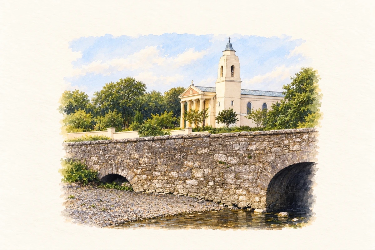
Clarinbridge's river crossing and coastal landing place preserve its working past, while the oyster festival brought its local produce to a wider audience.
Illustration, Bridge and Church of the Annunciation, Clarinbridge
⊕Recorded locationClarinbridge53.22730° N · 8.88482° WInteractive map supplied by OpenStreetMap.
These Irish name elements are associated with this record in the Logainm glossary.
An element’s translation is a clue, rather than a complete explanation of the name. Its form and meaning depend on local history and the full Irish name.
Recorded forms
Droichead an Chláirín· Irish · main form · validated name
Clarinbridge· English · main form
Place & story
The bridge over the Clarin
The limestone road bridge at Clarinbridge dates from around 1760. Five segmental arches span the river, with carefully cut stones around their openings and raised keystones above. The arches are irregularly spaced, giving the crossing a distinctive rhythm. Splayed approach walls guide the road onto the bridge, and stone copings finish its parapets. The architectural survey links the village's name with an earlier crossing at or near this point. The surviving structure records the craftsmanship invested in a practical piece of eighteenth-century road engineering.[2]
The quay at Ballynamanagh East
A nineteenth-century limestone quay at Ballynamanagh East preserves evidence of Clarinbridge's coastal working life. Built around 1860, it has an irregular outline, rounded corners and recessed sections. Dressed limestone blocks form its walls, and cut-stone mooring posts survive on the grassed surface. The architectural survey connects the landing place with commercial seaweed harvesting. This modest maritime structure broadens the village's history beyond the road crossing, showing how the shore supported movement and work as well as the oyster trade for which Clarinbridge became widely known.[3]
Oysters and the festival of 1986
An RTÉ report from September 1986 captured the festival's mix of local industry and visiting crowds. Its chairman, Joe Sherry, described the event as a showcase for oyster farming as well as a benefit to the village. The report traced the celebrations to 1954 and noted that Clarinbridge's and Galway city's festivals had separated in 1984. First tastings, seafood, music and public personalities filled the programme. The footage records a moment when a local harvest had become the basis of an internationally recognised social gathering.[4]
Both counts use the 2016 settlement boundary, allowing like-for-like comparison. CSO supplies the 2022 count on this older boundary for comparison only. The official 2022 Built Up Area has different boundaries.
View population figures
Clarinbridge — Census 2016 settlement footprint — census population
Clarinbridge, Galway — Census town, CSO 2006 report
2002–2006: census town
257people · 2006
These are the historical areas published in the 2006 census report. Boundaries may differ between censuses and from modern settlements. Legal towns, environs and suburbs are shown separately; none has been combined into a modern settlement total.
View population figures
Clarinbridge, Galway — Census town, CSO 2006 report — census population
These figures use different area definitions. Read the boundary note before comparing them.
Clarinbridge, Galway
Published census settlement populations
384people · 2016
Settlement boundaries changed during this period. Differences may reflect boundary changes as well as population change. Where a 2011 legal-town-and-environs count is shown, it has not been recalculated onto the 2016 settlement boundary.
 placenames