These Irish name elements are associated with this record in the Logainm glossary.
An element’s translation is a clue, rather than a complete explanation of the name. Its form and meaning depend on local history and the full Irish name.
Recorded forms
Gleann na Madadh· Irish · main form · validated name
Glennamaddy· English · main form
Glenamaddy· English · main form · local name
Place & story
A town develops around its roads
The local heritage society traces Glenamaddy's nineteenth-century expansion through a sequence of buildings and services. A slated church appeared in 1820; a police barracks is shown on the 1840 Ordnance Survey map; and a workhouse opened outside the town in 1853. Markets, fairs and road access supported its development as an older ecclesiastical centre at Boyounagh declined. These changes explain the growth of the settlement through identifiable institutions and transport links, rather than through a single recorded act of founding.[2]
The turlough and Lough Lurgeen
Glenamaddy Turlough lies within a protected wetland complex linking raised bog, Lough Lurgeen and a large seasonally flooded basin. The National Parks and Wildlife Service records three rivers entering the turlough and a swallow hole in its north-western corner. Its floor may be exposed only briefly, or not at all, depending on water conditions. This makes the familiar description of a lake that always disappears in summer too simple. The connected habitats support wetland plants and wintering waterbirds within an unusually varied local landscape.[3]
Making a theatre festival
Glenamaddy's Theatre Festival began in 1960 with an Athenry production of John B. Keane's Sive in the Esker Hall. The festival's own history recalls volunteers assembling equipment, with an early lighting switchboard built in John L. Garvey's pub. Jim Keaveney provided the hall without charge. Local dramatic groups and visiting companies had already established an audience for theatre. After using several venues, the festival returned to the restored Town Hall in 1996, continuing a tradition sustained by practical work as much as by performance.[4]
Both counts use the 2016 settlement boundary, allowing like-for-like comparison. CSO supplies the 2022 count on this older boundary for comparison only. The official 2022 Built Up Area has different boundaries.
View population figures
Glenamaddy — Census 2016 settlement footprint — census population
These are the historical areas published in the 2006 census report. Boundaries may differ between censuses and from modern settlements. Legal towns, environs and suburbs are shown separately; none has been combined into a modern settlement total.
View population figures
Glenamaddy, Galway — Census town, CSO 2006 report — census population
These are the historical areas published in the 1996 census report. Boundaries may differ between censuses and from modern settlements. Legal towns, environs and suburbs are shown separately; none has been combined into a modern settlement total.
View population figures
Glenamaddy, Galway — Census town, CSO 1996 report — census population
Figures cover the historical town area printed in the 1986 report. Boundaries may have changed between censuses. Legal town, environs and suburb totals remain separate and differ from modern settlement boundaries.
View population figures
Glenamaddy, Galway — Census town, CSO 1986 report — census population
These figures use different area definitions. Read the boundary note before comparing them.
Glenamaddy, Galway
Published census settlement populations
480people · 2016
Settlement boundaries changed during this period. Differences may reflect boundary changes as well as population change. Where a 2011 legal-town-and-environs count is shown, it has not been recalculated onto the 2016 settlement boundary.
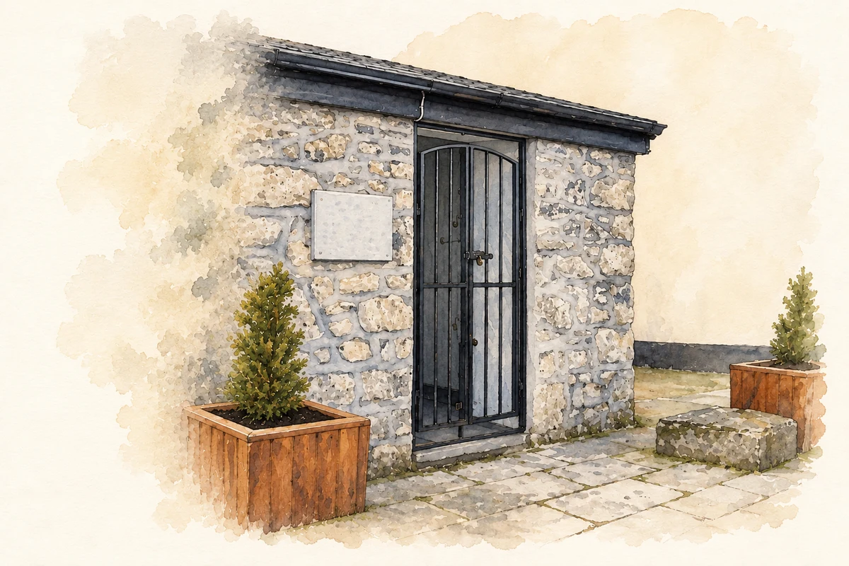
Market Weights Store, Glenamaddy, County Galway illustration: based on a Market Weights Store, Glenamaddy by Maigheach-gheal. AI-assisted watercolour and ink adaptation; cream paper margins added, incidental clutter omitted and fine details simplified. Licence: CC BY-SA 2.0.
 placenames