A reliable full-name meaning has not been established here. The recorded Irish and English forms are given without an unsupported translation.
Recorded forms
Creachmhaoil· Irish · main form · validated name
Craughwell· English · main form
Place & story
Two different railway arches
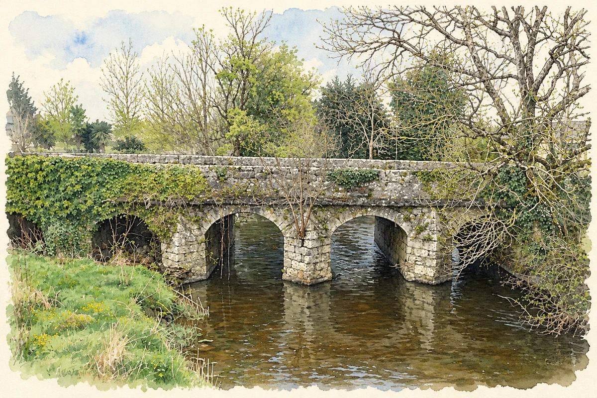
The Ennis–Athenry railway left two contrasting stone bridges at Craughwell in 1869. Grenage Bridge carries the line over a local road on a segmental arch, while nearby Aggard Bridge has a distinctive parabolic opening. Both use carefully worked limestone, but their different forms show that neighbouring railway structures need not repeat a single design. The National Inventory of Architectural Heritage records later alteration to Grenage's parapet. The masonry beneath it preserves the nineteenth-century engineering that brought a new transport route through an already established village landscape.[2][3]
People & connections
Raftery remembered at Killeeneen
The poet Antaine Raiftearaí, or Raftery, is buried at Killeeneen near Craughwell. He was born near Kiltimagh in Mayo and spent much of his working life travelling in south Galway. In 1900 Augusta Gregory, Douglas Hyde and Edward Martyn placed a commemorative slab over his grave. The Dictionary of Irish Biography notes that his exact death date is unknown. His local association is therefore a place of burial and later remembrance, distinct from his Mayo birthplace. The memorial also reflects the literary revival's interest in a poet whose work had circulated through performance and oral memory.[4]
Folklore & tradition
The stories surrounding Anthony Daly
At nearby Seefin, a memorial recalls Anthony Daly's execution in 1820. In her 1989 history and recollections, Aggie Qualter recorded stories of a planned rescue that failed and a curse attributed to Raftery against a landlord who would not support a reprieve. She also described visiting the memorial in 1984 and seeing poetry inscribed on it. These accounts show how the execution entered local memory and became associated with the poet. The rescue and curse should be read as recorded tradition, rather than as independently established details of Daly's trial or final journey.[5]
Both counts use the 2016 settlement boundary, allowing like-for-like comparison. CSO supplies the 2022 count on this older boundary for comparison only. The official 2022 Built Up Area has different boundaries.
View population figures
Craughwell — Census 2016 settlement footprint — census population
These are the historical areas published in the 2006 census report. Boundaries may differ between censuses and from modern settlements. Legal towns, environs and suburbs are shown separately; none has been combined into a modern settlement total.
View population figures
Craughwell, Galway — Census town, CSO 2006 report — census population
These are the historical areas published in the 1996 census report. Boundaries may differ between censuses and from modern settlements. Legal towns, environs and suburbs are shown separately; none has been combined into a modern settlement total.
View population figures
Craughwell, Galway — Census town, CSO 1996 report — census population
Figures cover the historical town area printed in the 1986 report. Boundaries may have changed between censuses. Legal town, environs and suburb totals remain separate and differ from modern settlement boundaries.
View population figures
Craughwell, Galway — Census town, CSO 1986 report — census population
These figures use different area definitions. Read the boundary note before comparing them.
Craughwell, Galway
Published census settlement populations
769people · 2016
Settlement boundaries changed during this period. Differences may reflect boundary changes as well as population change. Where a 2011 legal-town-and-environs count is shown, it has not been recalculated onto the 2016 settlement boundary.
 placenames