Ballygar's broad street and square reflect its market origins, while its bandstand recalls the American career of locally born bandmaster Patrick Sarsfield Gilmore.
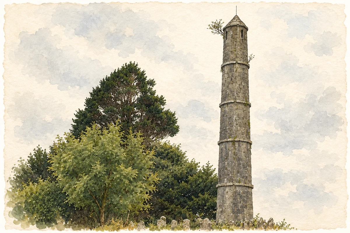
Illustration, Kelly memorial tower, Killeroran, near Ballygar
⊕Recorded locationBallygar53.52111° N · 8.32856° WInteractive map supplied by OpenStreetMap.
These Irish name elements are associated with this record in the Logainm glossary.
An element’s translation is a clue, rather than a complete explanation of the name. Its form and meaning depend on local history and the full Irish name.
Recorded forms
Béal Átha Ghártha· Irish · main form · validated name
Ballygar· English · main form
Place & story
The estate and the market street
Ballygar developed as a nineteenth-century market town, encouraged by the owner of the Castle Kelly estate. Its broad main street and market square preserve that planned commercial setting. At the eastern end, a diamond-shaped space once contained a Protestant church at the estate entrance. Along the main street, predominantly two-storey buildings create a continuous frontage, with varied window and door details. The town's arrangement therefore records the relationship between an estate, its trading activity and the people who lived and worked beside the market.[2]
People & connections
Patrick Sarsfield Gilmore's American bands
Patrick Sarsfield Gilmore was born at Ballygar in 1829, the son of a stonemason. He learned music in Athlone, travelled to Canada in 1847 and then settled in Boston. As a bandmaster he developed a reputation for ambitious public performances. His 1869 National Peace Jubilee combined a thousand instrumentalists with a chorus ten times that size, as well as cannon and anvils. He later led a New York regimental band and toured internationally. The scale of these events brought a musician from Ballygar into the public musical life of nineteenth-century America.[3]
Buildings around the square
The former school dated 1880, Saint Mary's Catholic Church and the courthouse form a group around Ballygar's centre. Local efforts brought the courthouse back into community use, continuing its role as a public gathering place. The square has hosted the annual carnival since 1945, adding an entertainment tradition to the earlier market setting. A bandstand also commemorates Gilmore's association with the village. These uses connect the built layout with successive forms of local public life: education, administration, trade, music and celebration.[2]
Both counts use the 2016 settlement boundary, allowing like-for-like comparison. CSO supplies the 2022 count on this older boundary for comparison only. The official 2022 Built Up Area has different boundaries.
View population figures
Ballygar — Census 2016 settlement footprint — census population
These are the historical areas published in the 2006 census report. Boundaries may differ between censuses and from modern settlements. Legal towns, environs and suburbs are shown separately; none has been combined into a modern settlement total.
View population figures
Ballygar, Galway — Census town, CSO 2006 report — census population
These are the historical areas published in the 1996 census report. Boundaries may differ between censuses and from modern settlements. Legal towns, environs and suburbs are shown separately; none has been combined into a modern settlement total.
View population figures
Ballygar, Galway — Census town, CSO 1996 report — census population
Figures cover the historical town area printed in the 1986 report. Boundaries may have changed between censuses. Legal town, environs and suburb totals remain separate and differ from modern settlement boundaries.
View population figures
Ballygar, Galway — Census town, CSO 1986 report — census population
These figures use different area definitions. Read the boundary note before comparing them.
Ballygar, Galway
Published census settlement populations
687people · 2016
Settlement boundaries changed during this period. Differences may reflect boundary changes as well as population change. Where a 2011 legal-town-and-environs count is shown, it has not been recalculated onto the 2016 settlement boundary.
 placenames