Dunmore's medieval remains record centuries of rebuilding and changing worship, while Gideon Ouseley's life connects the district with Irish-language Methodist preaching.
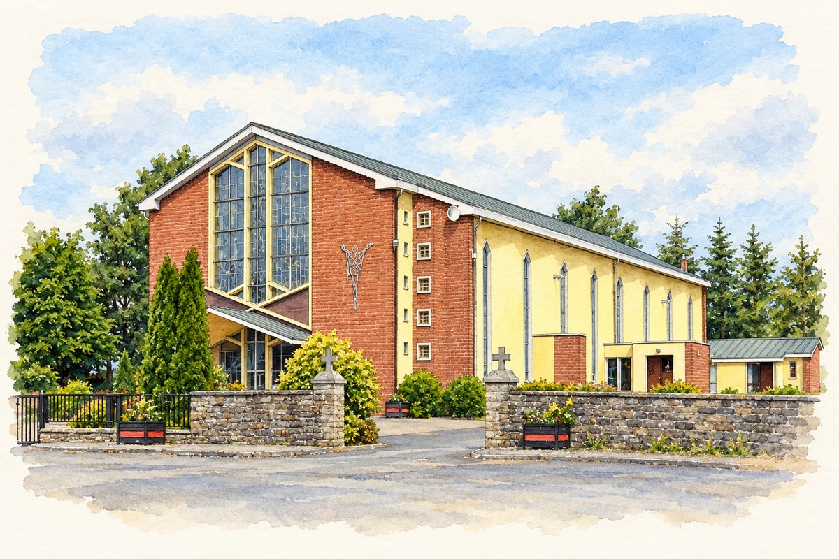
Illustration, Church of Our Lady and St Nicholas, Dunmore
⊕Recorded locationDunmore53.61824° N · 8.74117° WInteractive map supplied by OpenStreetMap.
These Irish name elements are associated with this record in the Logainm glossary.
An element’s translation is a clue, rather than a complete explanation of the name. Its form and meaning depend on local history and the full Irish name.
Recorded forms
Dún Mór· Irish · main form · validated name
Dunmore· English · main form
Place & story
A castle rebuilt over centuries
Dunmore Castle stands on a small hill about a kilometre north of the town. The surviving rectangular shell rises through five storeys and incorporates work from several periods. A first-floor entrance was reached by an external stair, while a broad sloping base strengthened the lower walls. Mullioned windows, fireplaces and a circular opening show that the building provided domestic accommodation as well as defence. Its history includes medieval attacks and later rebuilding, so the visible castle represents the accumulated changes of a long occupation rather than one construction campaign.[2]
The Augustinian church
The former Augustinian friary is associated with Walter de Bermingham and a foundation in 1425. Its surviving church has a nave and chancel divided by a tower added during the sixteenth century. The fifteenth-century doorway carries carved details and an inscription asking prayers for Walter de Bermingham. A reused stone in an eastern window bears a carved female head with an elaborate headdress. The chancel later served as a Church of Ireland parish church until 1879, giving part of the medieval friary a renewed religious use after the dissolution.[3]
People & connections
Gideon Ouseley's Irish-language preaching
Gideon Ouseley was born near Dunmore in 1762 and returned to the district after a dispute over an estate in Roscommon. Contact with Methodist soldiers and preachers in 1791 led to his religious conversion, and he became an itinerant preacher the following year. Fluent in Irish, he addressed crowds at fairs, markets and in open fields, sometimes singing hymns to familiar Irish tunes. Appointed a missionary to Irish-speaking communities after 1798, he travelled widely. His life connects Dunmore with a form of religious communication shaped by local language, public gatherings and constant movement.[4]
Both counts use the 2016 settlement boundary, allowing like-for-like comparison. CSO supplies the 2022 count on this older boundary for comparison only. The official 2022 Built Up Area has different boundaries.
View population figures
Dunmore — Census 2016 settlement footprint — census population
These are the historical areas published in the 2006 census report. Boundaries may differ between censuses and from modern settlements. Legal towns, environs and suburbs are shown separately; none has been combined into a modern settlement total.
View population figures
Dunmore, Galway — Census town, CSO 2006 report — census population
These are the historical areas published in the 1996 census report. Boundaries may differ between censuses and from modern settlements. Legal towns, environs and suburbs are shown separately; none has been combined into a modern settlement total.
View population figures
Dunmore, Galway — Census town, CSO 1996 report — census population
Figures cover the historical town area printed in the 1986 report. Boundaries may have changed between censuses. Legal town, environs and suburb totals remain separate and differ from modern settlement boundaries.
View population figures
Dunmore, Galway — Census town, CSO 1986 report — census population
These figures use different area definitions. Read the boundary note before comparing them.
Dunmore, Galway
Published census settlement populations
600people · 2016
Settlement boundaries changed during this period. Differences may reflect boundary changes as well as population change. Where a 2011 legal-town-and-environs count is shown, it has not been recalculated onto the 2016 settlement boundary.
 placenames