Headford’s lace-making revival reconnects the town with a skilled domestic industry, while nearby Ross Errilly preserves a different history of work, belief and storytelling.
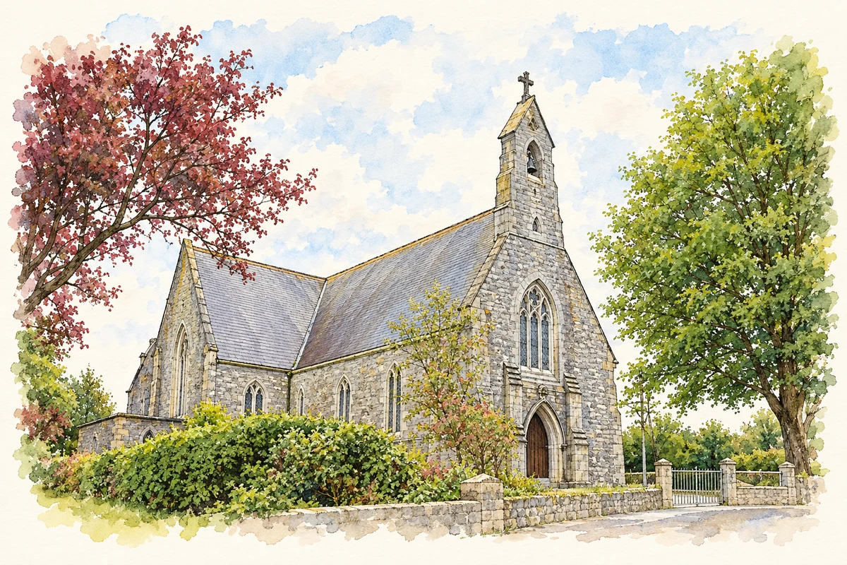
Illustration, Saint Mary's Catholic Church, Headford
⊕Recorded locationHeadford53.47370° N · 9.09742° WInteractive map supplied by OpenStreetMap.
These Irish name elements are associated with this record in the Logainm glossary.
An element’s translation is a clue, rather than a complete explanation of the name. Its form and meaning depend on local history and the full Irish name.
Recorded forms
Áth Cinn· Irish · main form · validated name
Headford· English · main form
Place & story
Recovering the lace-makers’ work
Research by Norma Owens for the Headford Lace Project identifies a 1790 letter describing local women making lace. The industry's exact beginnings remain uncertain, although it is associated with the St George estate. A surviving sample dated about 1904 has helped identify the local work as Torchon bobbin lace. This material evidence matters alongside written accounts: it allows present-day makers to study the technique itself. The modern project began in 2016, recovering a craft that had largely disappeared from everyday local practice and reconnecting historical research with practical lace-making.[2]
The friary beyond the town
Ross Errilly stands beside the Black River near Headford. Its surviving church, tower, cloisters and domestic rooms show how worship and daily work shared the same complex. The Office of Public Works records a kitchen oven, a tank for keeping live fish, a bakehouse and a refectory. Its early chronology is disputed: the OPW describes a fourteenth-century foundation, whereas the Irish Franciscans consider a foundation around 1498 plausible. Both accounts recognise a substantial Franciscan settlement with a long and interrupted history. The uncertainty should remain visible rather than being replaced by a single confident foundation date.[3][4]
Folklore & tradition
The swans and the flowering flax
A local foundation legend, recorded by Headford.org on the Galway County Heritage website, tells of three swans carrying flax seed. They indicate a place beside the river where flax flowers appear out of season, and Archbishop MacHugh recognises the site for a new friary. The story associates the foundation with deliverance from plague. It belongs to the area's devotional folklore, not to a demonstrated architectural chronology. Its memorable birds and miraculous flowers explain how a religious community imagined its beginnings; they do not resolve the conflicting historical dates.[5]
Both counts use the 2016 settlement boundary, allowing like-for-like comparison. CSO supplies the 2022 count on this older boundary for comparison only. The official 2022 Built Up Area has different boundaries.
View population figures
Headford — Census 2016 settlement footprint — census population
These are the historical areas published in the 2006 census report. Boundaries may differ between censuses and from modern settlements. Legal towns, environs and suburbs are shown separately; none has been combined into a modern settlement total.
View population figures
Headford, Galway — Census town, CSO 2006 report — census population
These are the historical areas published in the 1996 census report. Boundaries may differ between censuses and from modern settlements. Legal towns, environs and suburbs are shown separately; none has been combined into a modern settlement total.
View population figures
Headford, Galway — Census town, CSO 1996 report — census population
Figures cover the historical town area printed in the 1986 report. Boundaries may have changed between censuses. Legal town, environs and suburb totals remain separate and differ from modern settlement boundaries.
View population figures
Headford, Galway — Census town, CSO 1986 report — census population
These figures use different area definitions. Read the boundary note before comparing them.
Headford, Galway
Published census settlement populations
973people · 2016
Settlement boundaries changed during this period. Differences may reflect boundary changes as well as population change. Where a 2011 legal-town-and-environs count is shown, it has not been recalculated onto the 2016 settlement boundary.
Saint Mary's Catholic Church, Headford illustration: based on a Headford Roman Catholic Church by Bill Henderson. AI-assisted watercolour and ink adaptation; cream paper margins added, incidental clutter omitted and fine details simplified. Licence: CC BY-SA 2.0.
 placenames