A reliable full-name meaning has not been established here. The recorded Irish and English forms are given without an unsupported translation.
Recorded forms
Na Solláin· Irish · main form · validated name
Sallins· English · main form
Place & story
The third canal stage from Dublin
Lewis recorded Sallins in 1837 as a village on the Grand Canal and the third stage for passenger packets leaving Dublin. It lay partly in Osberstown parish and chiefly in Bodenstown. His entry counted 419 inhabitants. The canal placed this small settlement on an organised passenger route between the capital and inland destinations.[2]
The hump-backed canal bridge
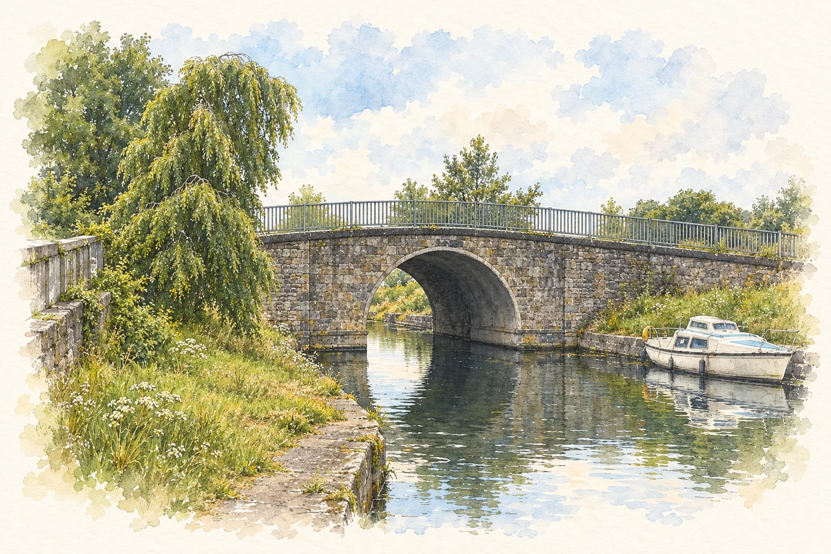
Sallins Bridge carries the road across the Grand Canal in a single round arch. The National Inventory of Architectural Heritage dates it approximately to 1870 and records extensive renovation around 1995. Cut-stone walls, piers and coping survive alongside later reinforcement and replacement railings. Its curved approaches connect the street with the canal banks.[3]
Railway masonry over the water
At Osberstown, a two-span railway bridge crosses the canal on rubble-stone piers. The inventory places it within the development of the Great Southern and Western Railway, dating the structure approximately to 1870. Flat spans and heavy masonry create a different crossing from the arched road bridge.[4]
A further railway crossing at Sherlockstown uses three spans on a skewed plan. Alterations around 1970 rebuilt parts of its parapets and introduced steel reinforcement beneath one span. The two records preserve the practical adjustments required when a railway and an earlier canal intersected, with each crossing responding to its particular angle and setting.[5]
Both counts use the 2016 settlement boundary, allowing like-for-like comparison. CSO supplies the 2022 count on this older boundary for comparison only. The official 2022 Built Up Area has different boundaries.
View population figures
Sallins — Census 2016 settlement footprint — census population
These are the historical areas published in the 2006 census report. Boundaries may differ between censuses and from modern settlements. Legal towns, environs and suburbs are shown separately; none has been combined into a modern settlement total.
View population figures
Sallins, Kildare — Census town, CSO 2006 report — census population
These are the historical areas published in the 1996 census report. Boundaries may differ between censuses and from modern settlements. Legal towns, environs and suburbs are shown separately; none has been combined into a modern settlement total.
View population figures
Sallins, Kildare — Census town, CSO 1996 report — census population
Figures cover the historical town area printed in the 1986 report. Boundaries may have changed between censuses. Legal town, environs and suburb totals remain separate and differ from modern settlement boundaries.
View population figures
Sallins, Kildare — Census town, CSO 1986 report — census population
These figures use different area definitions. Read the boundary note before comparing them.
Sallins, Kildare
Published census settlement populations
5,849people · 2016
Settlement boundaries changed during this period. Differences may reflect boundary changes as well as population change. Where a 2011 legal-town-and-environs count is shown, it has not been recalculated onto the 2016 settlement boundary.
Sallins Bridge over the Grand Canal, County Kildare illustration: based on a County Kildare - Sallins Bridge - 20200613140500 by Royalcanalrunner. AI-assisted watercolour and ink adaptation; cream paper margins added, incidental clutter omitted and fine details simplified. Licence: CC BY-SA 4.0.
 placenames