These Irish name elements are associated with this record in the Logainm glossary.
An element’s translation is a clue, rather than a complete explanation of the name. Its form and meaning depend on local history and the full Irish name.
Recorded forms
Fiodh Dúin· Irish · main form · validated name
Fiddown· English · main form
Place & story
The bridge to Portlaw
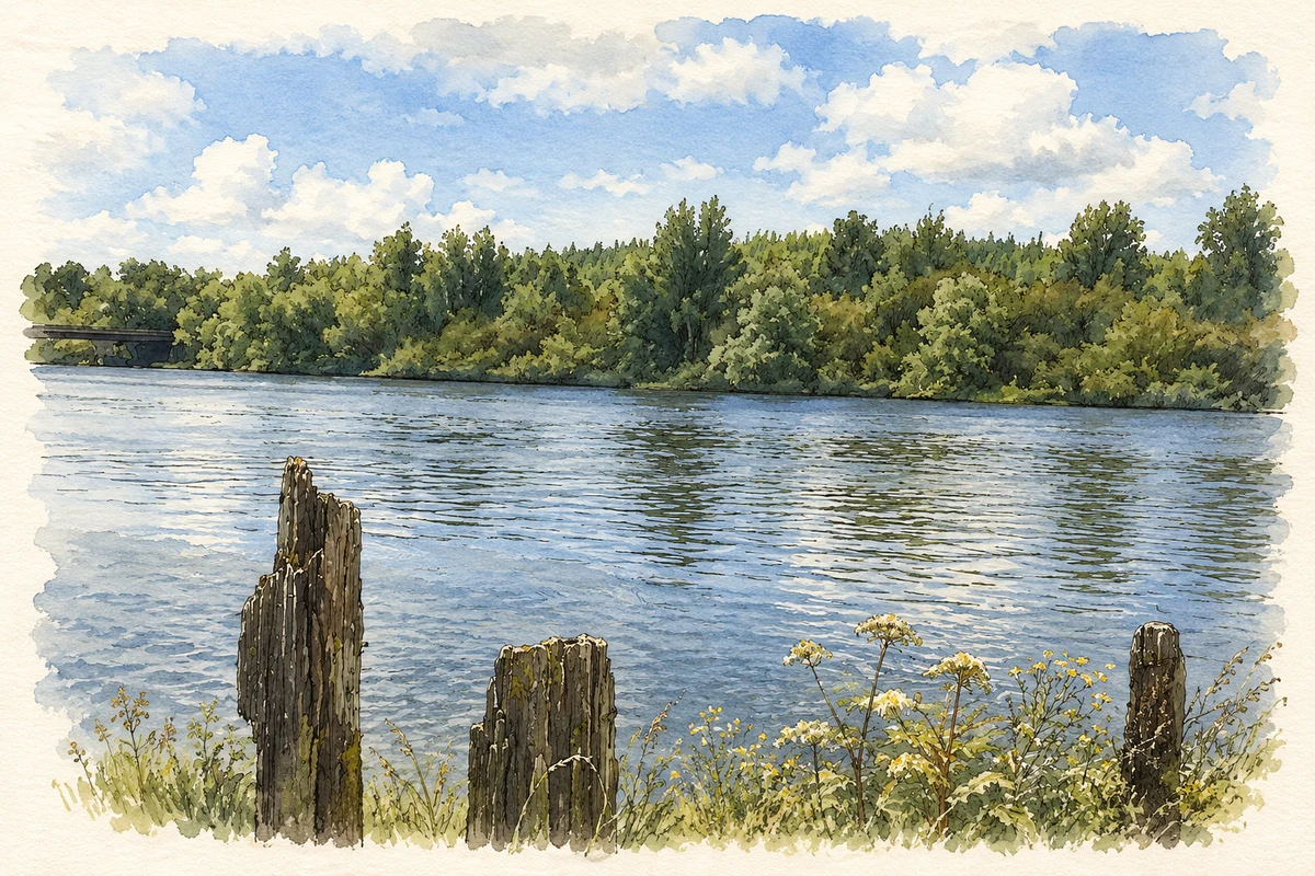
Fiddown Bridge crosses the River Suir and Fiddown Island in a long, low sequence of spans. Its 1983 rebuilding incorporated masonry from the nineteenth-century bridge, including carefully worked limestone at the northeastern approach. The architectural inventory links the earlier crossing with the Malcomson family of nearby Portlaw, who helped finance it to connect their industrial village in County Waterford with Fiddown’s railway station. The surviving stonework and modern concrete spans belong to different stages in the history of the same route.[2]
An elegant station building
Fiddown and Portlaw station opened in 1853 and closed in 1963. Its two-storey building combines a projecting end bay with a sheltered platform frontage, supported in part by a cast-iron column. The architectural inventory records its later use as a house and notes surviving sash windows and internal shutters. A signal box and goods shed belonged to the same railway complex. Together these structures explain why a relatively substantial station stood in a small rural settlement.[3]
The little church and its monuments
Fiddown’s old Church of Ireland church dates to 1747 and was built for Reverend Robert Watts. Its present small size reflects the loss of part of a larger building; the inventory suggests the surviving portion may originally have been its chancel. Inside, a monument erected in 1858 commemorates the Earl and Countess of Bessborough with carved portraits, Corinthian columns and a pediment. The rich memorial contrasts with the restrained exterior, preserving evidence of local patronage within a modest riverside church.[4]
Both counts use the 2016 settlement boundary, allowing like-for-like comparison. CSO supplies the 2022 count on this older boundary for comparison only. The official 2022 Built Up Area has different boundaries.
View population figures
Fiddown — Census 2016 settlement footprint — census population
These are the historical areas published in the 2006 census report. Boundaries may differ between censuses and from modern settlements. Legal towns, environs and suburbs are shown separately; none has been combined into a modern settlement total.
View population figures
Fiddown, Kilkenny — Census town, CSO 2006 report — census population
These figures use different area definitions. Read the boundary note before comparing them.
Fiddown, Kilkenny
Published census settlement populations
369people · 2016
Settlement boundaries changed during this period. Differences may reflect boundary changes as well as population change. Where a 2011 legal-town-and-environs count is shown, it has not been recalculated onto the 2016 settlement boundary.
River Suir and Fiddown Island illustration: based on a Fiddown Island by TXPeig. AI-assisted watercolour and ink adaptation; cream paper margins added, incidental clutter omitted and fine details simplified. Licence: CC BY-SA 4.0.
 placenames