 placenames
Graiguenamanagh
Gráig na Manach
Graiguenamanagh grew around Duiske Abbey, with later buildings reusing monastic fabric and the Barrow linking the town’s produce to wider markets.
The name
A reliable full-name meaning has not been established here. The recorded Irish and English forms are given without an unsupported translation.
Recorded forms
- Gráig na Manach · Irish · main form · validated name
- Graiguenamanagh · English · main form
Place & story
A town formed around an abbey
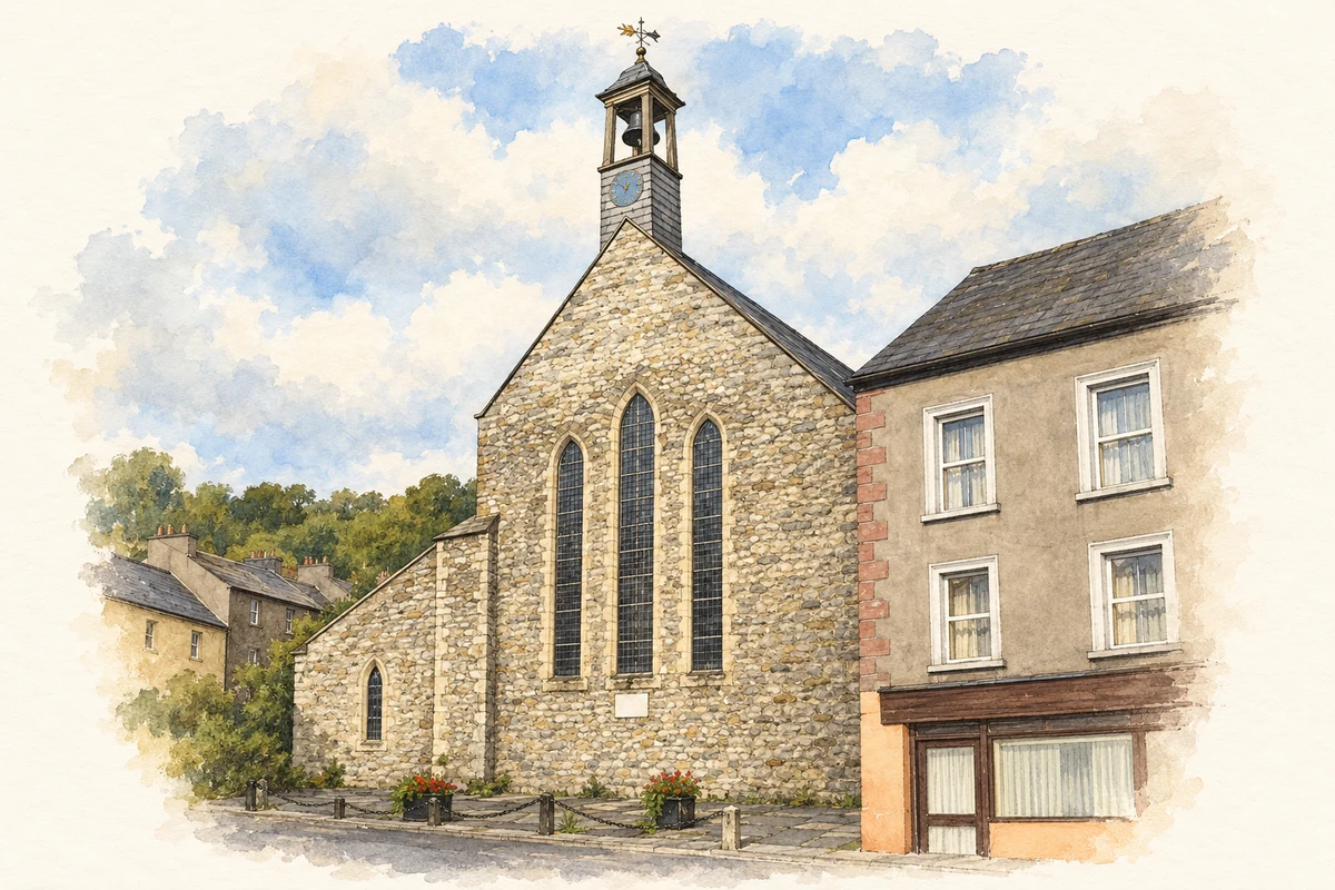
Duiske Abbey was founded in the early thirteenth century under William Marshal's patronage. After the dissolution of the monasteries in 1536, its property passed to the Earls of Ormond. Architectural historian Colm Murray describes how the monastery's surviving walls became embedded in the later town. Houses and shops conceal parts of the cloister and associated buildings, so the medieval complex extends beyond the church that is most visible today. [2]
Restoration and archaeological study
Robert Cochrane of the Office of Public Works surveyed the monastic remains in the 1890s. David Newman Johnson revisited that work in the late 1960s, helping establish protection for remains outside church ownership. Restoration during the 1970s returned the church to a form approximating its medieval arrangement. Excavation in 1977 examined part of the north transept. The present abbey therefore combines medieval fabric with a substantial modern conservation history, rather than surviving wholly unchanged. [2]
The Cushen weaving family
Cushendale traces its textile-making family to Sylvester Cushon in the eighteenth century. His son Patrick recorded his occupation as blanket manufacturer on the Morpeth Roll in 1841, aged seventeen. Later generations included brothers Philip and Bernard, involved in producing yarn and woven cloth. The family's changing spellings of its surname appear in its own historical account. Their work gives named continuity to an industry closely associated with the town, without requiring a claim of uninterrupted family ownership since medieval times. [3]
The Barrow as a trading route
Graiguenamanagh stands where the Duiske enters the Barrow, opposite Tinnahinch in County Carlow. River navigation added to its role as a market town, carrying agricultural produce towards Dublin and New Ross. The steep valley and bridge crossing shaped the streets, while wool production linked town workshops with sheep farming in the surrounding countryside. The abbey, quays and mills belong to connected economic histories rather than separate lists of sights. [4]
Geographic information
- Place type
- Town
- County
- Kilkenny
- Barony
- Gowran
- Civil parish
- Graiguenamanagh
- Coordinates
- 52.54205, -6.95663
- Logainm ID
- 27222 ↗
Sources & further reading
- Logainm.ie — Graiguenamanagh. Place names and geographic record, licensed under CC BY 4.0.
- The stones of Duiske Abbey, Graiguenamanagh, Old Kilkenny Review2004p113onward · Colm Murray, Kilkenny Archaeological Society
- Our Team: Six Generations of Cushendale · Cushendale Woollen Mills
- Graiguenamanagh Area Plan: Historical Development and Urban Structure · Kilkenny County Council
- West front of Duiske Abbey, Graiguenamanagh, County Kilkenny illustration: based on a Duiske Abbey Catholic Church by Eirian Evans. AI-assisted watercolour and ink adaptation; cream paper margins added, incidental clutter omitted and fine details simplified. Licence: CC BY-SA 2.0.
Name record retrieved 2026-10-25 · Source record modified 2026-09-19. How this page was prepared.