These Irish name elements are associated with this record in the Logainm glossary.
An element’s translation is a clue, rather than a complete explanation of the name. Its form and meaning depend on local history and the full Irish name.
Recorded forms
Inis Tíog· Irish · main form · validated name
Inistioge· English · main form
Place & story
The bridge and its two faces
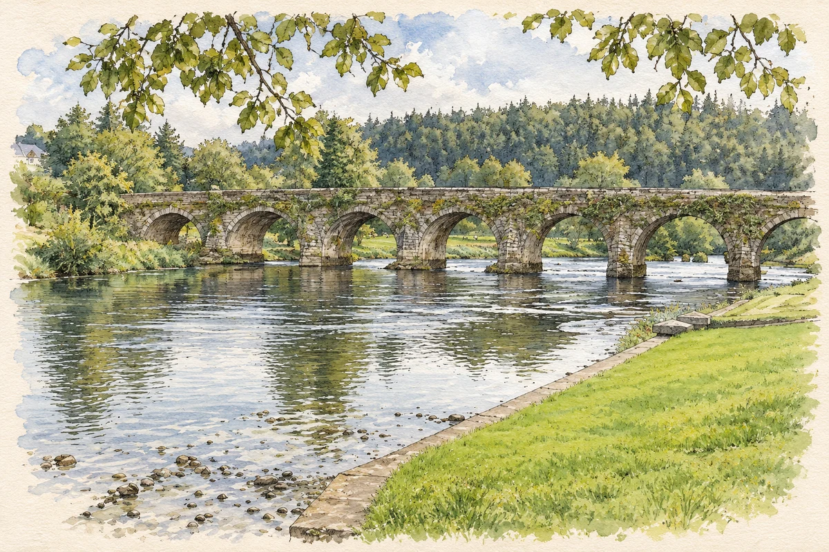
Inistioge Bridge spans the Nore with ten stone arches. The architectural inventory dates it to 1763 and attributes its design to George Smith, whose work followed destructive flooding in the county. Its two sides receive different treatments: Ionic pilasters and a cornice enrich the southern face, while tall tapered cutwaters define the northern side. The combination of rubble walls and carefully dressed stone gives a river crossing the architectural presence of a major civic building.[2]
Fragments of the Augustinian priory
The remains of Inistioge’s Augustinian priory survive among later church buildings rather than as an isolated ruin. The community heritage guide identifies the crossing tower, the ruined Lady Chapel and the structure called the Black Castle, later the Tighe family mausoleum. Carved cloister fragments were reused around the village, including at the Catholic church and Saint Colmcille’s Well. These displaced stones help trace a monastic complex whose buildings changed use after dissolution in 1540.[3]
Folklore & tradition
The trout in Saint Colmcille’s Well
The village heritage guide records a tradition that Saint Colmcille’s Well would dry up if its trout were removed. It also describes the local observance of the saint’s feast on 9 June and an older practice of pilgrims making their way along the stream towards the well on their knees. These are attributed devotional customs and beliefs, rather than an explanation of the water supply. The guide leaves the story within the continuing cultural history of the well.[3]
People & connections
Lady Louisa’s flower terraces
Above the village, Woodstock’s flower terraces were completed in the early 1850s under Lady Louisa Tighe. Three level terraces were cut into the slope, with their central path aligned on a circular conservatory designed and built by ironmaster Richard Turner between 1853 and 1856. The gardens’ own history considers head gardener Pierce Butler the likely planner of much of the scheme, while noting the absence of evidence for a professional garden designer. The terraces connect the estate’s patrons with the skilled gardeners and makers who shaped it.[4]
Both counts use the 2016 settlement boundary, allowing like-for-like comparison. CSO supplies the 2022 count on this older boundary for comparison only. The official 2022 Built Up Area has different boundaries.
View population figures
Inistioge — Census 2016 settlement footprint — census population
Inistioge, Kilkenny — Census town, CSO 2006 report
2002–2006: census town
263people · 2006
These are the historical areas published in the 2006 census report. Boundaries may differ between censuses and from modern settlements. Legal towns, environs and suburbs are shown separately; none has been combined into a modern settlement total.
View population figures
Inistioge, Kilkenny — Census town, CSO 2006 report — census population
Inistioge, Kilkenny — Census town, CSO 1996 report
1991–1996: census town
260people · 1996
These are the historical areas published in the 1996 census report. Boundaries may differ between censuses and from modern settlements. Legal towns, environs and suburbs are shown separately; none has been combined into a modern settlement total.
View population figures
Inistioge, Kilkenny — Census town, CSO 1996 report — census population
Inistioge, Kilkenny — Census town, CSO 1986 report
1981–1986: census town
267people · 1986
Figures cover the historical town area printed in the 1986 report. Boundaries may have changed between censuses. Legal town, environs and suburb totals remain separate and differ from modern settlement boundaries.
View population figures
Inistioge, Kilkenny — Census town, CSO 1986 report — census population
These figures use different area definitions. Read the boundary note before comparing them.
Inistioge, Kilkenny
Published census settlement populations
285people · 2016
Settlement boundaries changed during this period. Differences may reflect boundary changes as well as population change. Where a 2011 legal-town-and-environs count is shown, it has not been recalculated onto the 2016 settlement boundary.
 placenames