Kilmacow's upper and lower settlements developed separately, with churches, river-powered industry and sporting organisations giving each part of the district its history.
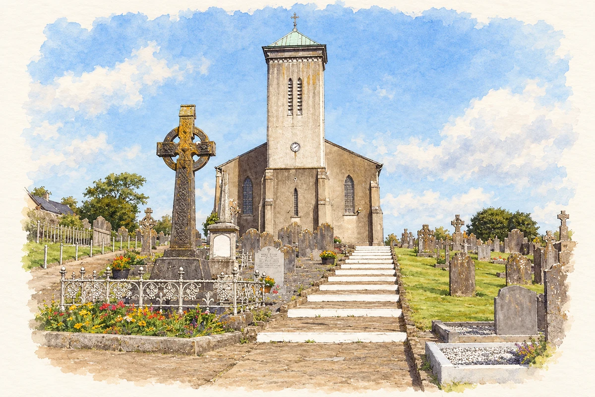
Illustration, St Senan’s Church, Kilmacow
⊕Recorded locationKilmacow52.31728° N · 7.17771° WInteractive map supplied by OpenStreetMap.
These Irish name elements are associated with this record in the Logainm glossary.
An element’s translation is a clue, rather than a complete explanation of the name. Its form and meaning depend on local history and the full Irish name.
Recorded forms
Cill Mhic Bhúith· Irish · main form · validated name
Kilmacow· English · main form
Place & story
Upper and Lower Kilmacow
Kilmacow has two distinct village centres separated by roughly a kilometre of largely agricultural land. The council's masterplan identifies an older, pre-Norman settlement in Lower Kilmacow and the development of the upper village during the eighteenth century. The River Blackwater supported flour mills and bakeries, adding industrial work to the farming district. This combination of separate centres, a surviving green interval and river-based production helps explain the settlement's unusual form. Its history is spread across several connected places rather than concentrated in a single market square.[2]
Saint Senan's and the fire of 1952
The parish's history records a small thatched chapel built in 1753 and the beginning of a larger church on the present site in 1803. Father Pierce Marum oversaw the project, with builder Edward Shee and local voluntary labour. The building had internal galleries in a broad, barn-like interior. A serious fire in 1952 led to substantial renovation: the galleries were removed except for the choir gallery at the rear. Later changes reordered the sanctuary. These rebuilding campaigns account for the difference between the early church's arrangement and its later interior.[3]
Remembering the clubs and their colours
Kilmacow's sporting history has involved several teams and codes. At the 2010 launch of A History of the GAA in Kilmacow, Senan Cooke and his fellow researchers presented an extensive account covering hurling, camogie, football, handball, athletics and social life from 1884 onwards. The cover's green, red and blue stripes represented teams including the Undefeatables, Dunkitt Ramblers and Grannagh. More than four hundred people attended the local launch, where Mícheál Ó Muircheartaigh and club chairman Richard Dowling introduced the book. The names and colours preserve the identities of earlier clubs within the wider parish.[4]
Both counts use the 2016 settlement boundary, allowing like-for-like comparison. CSO supplies the 2022 count on this older boundary for comparison only. The official 2022 Built Up Area has different boundaries.
View population figures
Kilmacow — Census 2016 settlement footprint — census population
These are the historical areas published in the 2006 census report. Boundaries may differ between censuses and from modern settlements. Legal towns, environs and suburbs are shown separately; none has been combined into a modern settlement total.
View population figures
Kilmacow, Kilkenny — Census town, CSO 2006 report — census population
These are the historical areas published in the 1996 census report. Boundaries may differ between censuses and from modern settlements. Legal towns, environs and suburbs are shown separately; none has been combined into a modern settlement total.
View population figures
Kilmacow, Kilkenny — Census town, CSO 1996 report — census population
Figures cover the historical town area printed in the 1986 report. Boundaries may have changed between censuses. Legal town, environs and suburb totals remain separate and differ from modern settlement boundaries.
View population figures
Kilmacow, Kilkenny — Census town, CSO 1986 report — census population
These figures use different area definitions. Read the boundary note before comparing them.
Kilmacow, Kilkenny
Published census settlement populations
647people · 2016
Settlement boundaries changed during this period. Differences may reflect boundary changes as well as population change. Where a 2011 legal-town-and-environs count is shown, it has not been recalculated onto the 2016 settlement boundary.
 placenames