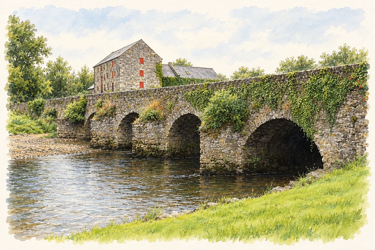
Castletown grew beside a crossing of the River Nore. Its green, former flour mill and De La Salle community preserve different parts of its working and educational history.
Illustration, Castletown Bridge over the River Nore
⊕Recorded locationCastletown52.97646° N · 7.49503° WInteractive map supplied by OpenStreetMap.
These Irish name elements are associated with this record in the Logainm glossary.
An element’s translation is a clue, rather than a complete explanation of the name. Its form and meaning depend on local history and the full Irish name.
Recorded forms
Baile an Chaisleáin· Irish · main form · validated name
Castletown· English · main form
Place & story
Beside the Nore crossing
Samuel Lewis's 1837 account describes Castletown as a village on the River Nore and the Dublin–Limerick road. He counted fifty-nine houses and 367 inhabitants, and noted a fair on 29 June. A police station and regular petty sessions were other features of village life. Lewis also connected the place with the Fitzpatricks and the castle from which it took its name, recalling a history of control over this important riverside position.[2]
The green and riverbank
The central green gives Castletown a particularly clear shape. Two- and three-storey houses, the monastery and parish church gather around this open space, with Main Street extending eastwards towards the old main road. Along the Nore, the weir and mill race survive as part of the village's riverside setting. The council's assessment identifies the river, castle-wall remnants and green together as features that define the historic settlement.[3]
Training the De La Salle Brothers
The De La Salle novitiate moved to Castletown in November 1881, following the order's first Irish foundation at Summerhill in 1880. A junior novitiate followed in 1882, and young Brothers practised teaching at the local school. The order's own history records that its teacher-training community later moved to Waterford in 1888. The substantial monastery on Fair Green includes a three-storey range dated around 1870 and later extensions rising to four storeys, reflecting the scale of the institution that developed here.[4][5]
The flour mill
The Nore Flour Mills at Knockanina rise through five storeys, with additional two- and three-storey ranges. The architectural inventory dates the principal mill to around 1840. Milling was already important nearby when Lewis visited in 1837: he specifically mentioned large flour and oatmeal mills. The surviving complex gives that industry a prominent physical presence beside the river, linking agricultural production with one of Castletown's largest historic buildings.[6][2]
Both counts use the 2016 settlement boundary, allowing like-for-like comparison. CSO supplies the 2022 count on this older boundary for comparison only. The official 2022 Built Up Area has different boundaries.
View population figures
Castletown — Census 2016 settlement footprint — census population
These are the historical areas published in the 2006 census report. Boundaries may differ between censuses and from modern settlements. Legal towns, environs and suburbs are shown separately; none has been combined into a modern settlement total.
View population figures
Castletown, Laois — Census town, CSO 2006 report — census population
These are the historical areas published in the 1996 census report. Boundaries may differ between censuses and from modern settlements. Legal towns, environs and suburbs are shown separately; none has been combined into a modern settlement total.
View population figures
Castletown, Laois — Census town, CSO 1996 report — census population
Figures cover the historical town area printed in the 1986 report. Boundaries may have changed between censuses. Legal town, environs and suburb totals remain separate and differ from modern settlement boundaries.
View population figures
Castletown, Laois — Census town, CSO 1986 report — census population
These figures use different area definitions. Read the boundary note before comparing them.
Castletown, Laois
Published census settlement populations
436people · 2016
Settlement boundaries changed during this period. Differences may reflect boundary changes as well as population change. Where a 2011 legal-town-and-environs count is shown, it has not been recalculated onto the 2016 settlement boundary.
 placenames