These Irish name elements are associated with this record in the Logainm glossary.
An element’s translation is a clue, rather than a complete explanation of the name. Its form and meaning depend on local history and the full Irish name.
Recorded forms
Cúil an tSúdaire· Irish · main form · validated name
Portarlington· English · main form
Place & story
People & connections
Arlington and Ruvigny
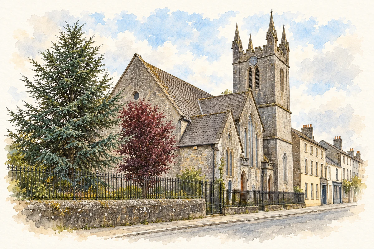
Henry Bennet founded Portarlington in 1666. Later owner Henri Massue, Marquis de Ruvigny, welcomed Huguenot refugees; about 500 lived here by 1702.[2]
French schools and surviving houses
French education distinguished the refugee settlement. Houses on French Street and Patrick Street, and Jargonelle pear trees in gardens, preserve further associations.[2]
Electricity from Clonsast
A new industrial chapter began when the generating station opened in 1950. Designed to consume sod peat from nearby Clonsast bog, it used steam to drive three turbo-alternator sets. At its peak the station consumed roughly 195,000 tonnes of peat annually and produced about 150 million units of electricity. ESB’s archive records decommissioning in 1988 and demolition in 1997. This connected the town to a landscape of fuel harvesting and national electricity supply.[3]
Both counts use the 2016 settlement boundary, allowing like-for-like comparison. CSO supplies the 2022 count on this older boundary for comparison only. The official 2022 Built Up Area has different boundaries.
View population figures
Portarlington — Census 2016 settlement footprint — census population
Portarlington, Laois and Offaly — Census town, CSO 2006 report
2002–2006: census town
6,004people · 2006
These are the historical areas published in the 2006 census report. Boundaries may differ between censuses and from modern settlements. Legal towns, environs and suburbs are shown separately; none has been combined into a modern settlement total.
View population figures
Portarlington, Laois and Offaly — Census town, CSO 2006 report — census population
Portarlington, Laois and Offaly — Census town, CSO 1996 report
1991–1996: census town
3,320people · 1996
These are the historical areas published in the 1996 census report. Boundaries may differ between censuses and from modern settlements. Legal towns, environs and suburbs are shown separately; none has been combined into a modern settlement total.
View population figures
Portarlington, Laois and Offaly — Census town, CSO 1996 report — census population
These figures use different area definitions. Read the boundary note before comparing them.
Portarlington, Laois and Offaly
Published census settlement populations
8,368people · 2016
Settlement boundaries changed during this period. Differences may reflect boundary changes as well as population change. Where a 2011 legal-town-and-environs count is shown, it has not been recalculated onto the 2016 settlement boundary.
View population figures
Portarlington, Laois and Offaly — census population
Saint Paul's French Church, Portarlington, County Laois illustration: based on a County Laois - St Paul's Church - 20190924174207 by Trenchspike. AI-assisted watercolour and ink adaptation; cream paper margins added, incidental clutter omitted and fine details simplified. Licence: CC BY-SA 4.0.
 placenames