A reliable full-name meaning has not been established here. The recorded Irish and English forms are given without an unsupported translation.
Recorded forms
Liatroim· Irish · main form · validated name
Leitrim· English · main form
Place & story
A small village with nine fairs
Samuel Lewis described Leitrim in 1837 as a village of fifty houses on the eastern bank of the Shannon, a few miles north of Carrick-on-Shannon. His list of nine annual fairs stretches from January to December, showing how regularly the surrounding farming community gathered there. He also noted remains of older buildings believed to belong to a castle. This account places an active trading calendar within a compact settlement, before the canal works that later changed the village's connections with the Erne district.[2]
The bridge built in 1849
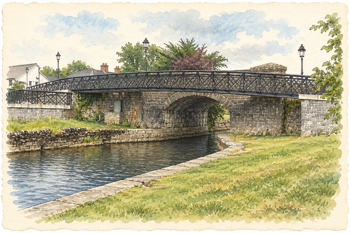
Leitrim's single-arch canal bridge was built in 1849 as part of the Ballinamore and Ballyconnell Canal scheme. Its rock-faced stonework, shaped arch stones, buttressed approaches and limestone coping belong to the engineering programme that carried the new navigation through the village. Raised above the street, it forms a prominent feature of the main thoroughfare. The bridge's scale and masonry preserve the ambitions of a project intended to join separate river systems into a continuous inland transport route.[3]
An unsuccessful canal finds a new purpose
The canal opened in 1860 after fifteen years of construction, but carried very little commercial traffic. The waterway authority's archive records only eight boats using it during the 1860s, and by 1869 it was described as unusable. Restoration many decades later required repairs to bridges, locks, weirs and embankments as well as clearance of the channel. It reopened in 1994 as the Shannon-Erne Waterway. For Leitrim village, this brought a new recreational role to engineering works whose original commercial promise had quickly faded.[4]
Both counts use the 2016 settlement boundary, allowing like-for-like comparison. CSO supplies the 2022 count on this older boundary for comparison only. The official 2022 Built Up Area has different boundaries.
View population figures
Leitrim — Census 2016 settlement footprint — census population
These are the historical areas published in the 2006 census report. Boundaries may differ between censuses and from modern settlements. Legal towns, environs and suburbs are shown separately; none has been combined into a modern settlement total.
View population figures
Leitrim, Leitrim — Census town, CSO 2006 report — census population
These figures use different area definitions. Read the boundary note before comparing them.
Leitrim, Leitrim
Published census settlement populations
594people · 2016
Settlement boundaries changed during this period. Differences may reflect boundary changes as well as population change. Where a 2011 legal-town-and-environs count is shown, it has not been recalculated onto the 2016 settlement boundary.
Bridge No 1 on the Shannon-Erne Waterway, Leitrim village illustration: based on a Shannon-Erne Waterway - Bridge No 1 by John M. AI-assisted watercolour and ink adaptation; cream paper margins added, incidental clutter omitted and fine details simplified. Licence: CC BY-SA 2.0.
 placenames