These Irish name elements are associated with this record in the Logainm glossary.
An element’s translation is a clue, rather than a complete explanation of the name. Its form and meaning depend on local history and the full Irish name.
Recorded forms
Baile Haicéid· Irish · main form · validated name
Hacketstown· English · main form
Place & story
Settlement around an earlier castle site
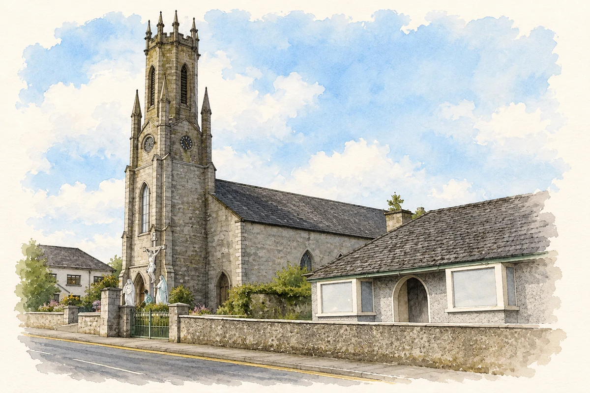
The parish history associates Hacketstown's beginnings with an Anglo-Norman castle on the site later occupied by Saint Brigid's Church. It traces the village layout to an early seventeenth-century lease from the Earl of Ormonde to a settler named Watson, who established a community of farmers and merchants. The castle and the later military barracks have disappeared from the site. This sequence distinguishes the earlier fortified location from the planned village and from the church that now occupies the hill.[2]
The fighting of 1798
Hacketstown experienced attacks in May and June 1798. The parish account describes the second as a sustained attempt by rebels under Garrett Byrne, including Michael Dwyer's followers, to seize the barracks and its arms. Fires spread through the thatched houses during the fighting, causing extensive destruction. The attackers did not capture the barracks, although the garrison later withdrew towards Tullow. The account places military objectives and damage to civilian buildings together, explaining why the rebellion became such a prominent part of the town's remembered history.[2]
Saint Brigid’s and its surviving objects
The parish dates Saint Brigid's Church to 1803, with the cut-granite tower added later during the ministry of Patrick Morrin. It replaced a temporary thatched chapel on the fair green that had also served local farmers as a threshing shed. Among the objects preserved inside are a fragment of a seventeenth-century stone cross and a granite holy-water font made by local stonecutter Thomas Byrne of Ballysallagh. These smaller survivals connect the present church to earlier worship and to the craft skills of the surrounding district.[3]
Both counts use the 2016 settlement boundary, allowing like-for-like comparison. CSO supplies the 2022 count on this older boundary for comparison only. The official 2022 Built Up Area has different boundaries.
View population figures
Hacketstown — Census 2016 settlement footprint — census population
Hacketstown, Carlow — Census town, CSO 2006 report
2002–2006: census town
606people · 2006
These are the historical areas published in the 2006 census report. Boundaries may differ between censuses and from modern settlements. Legal towns, environs and suburbs are shown separately; none has been combined into a modern settlement total.
View population figures
Hacketstown, Carlow — Census town, CSO 2006 report — census population
Hacketstown, Carlow — Census town, CSO 1996 report
1991–1996: census town
628people · 1996
These are the historical areas published in the 1996 census report. Boundaries may differ between censuses and from modern settlements. Legal towns, environs and suburbs are shown separately; none has been combined into a modern settlement total.
View population figures
Hacketstown, Carlow — Census town, CSO 1996 report — census population
Hacketstown, Carlow — Census town, CSO 1986 report
1981–1986: census town
710people · 1986
Figures cover the historical town area printed in the 1986 report. Boundaries may have changed between censuses. Legal town, environs and suburb totals remain separate and differ from modern settlement boundaries.
View population figures
Hacketstown, Carlow — Census town, CSO 1986 report — census population
These figures use different area definitions. Read the boundary note before comparing them.
Hacketstown, Carlow
Published census settlement populations
597people · 2016
Settlement boundaries changed during this period. Differences may reflect boundary changes as well as population change. Where a 2011 legal-town-and-environs count is shown, it has not been recalculated onto the 2016 settlement boundary.
 placenames