Croom’s eighteenth-century inn was a meeting place for Irish-language poets; its later railway buildings preserve another chapter in the town’s working life.
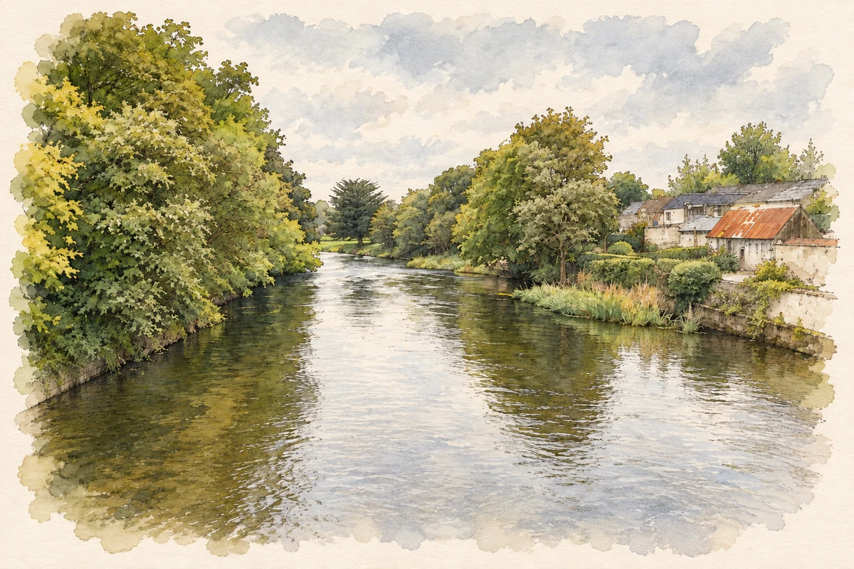
Illustration, River Maigue at Croom
⊕Recorded locationCroom52.52133° N · 8.72146° WInteractive map supplied by OpenStreetMap.
A reliable full-name meaning has not been established here. The recorded Irish and English forms are given without an unsupported translation.
Recorded forms
Cromadh· Irish · main form · validated name
Croom· English · main form
Place & story
People & connections
Seán Ó Tuama’s inn
Seán Ó Tuama an Ghrinn was probably born in Croom in 1707 or 1708. Educated in Irish, English and Latin, he worked as a teacher before opening an inn in the town. The Dictionary of Irish Biography identifies his premises as a gathering place for the poets associated with the Maigue. Their exchanges included welcome verses, political commentary and satire. Ó Tuama's livelihood also involved work as a water bailiff and butter factor. He eventually moved to Limerick, but after his death in 1775 his body was brought back to Croom for burial.[2]
People & connections
The Merry Peddler who taught school
Aindrias Mac Craith, another member of the Maigue circle, was teaching in Croom by the early 1730s. He became known as an Mangaire Súgach, usually rendered the Merry Peddler. His biographer cautions that there is no evidence he actually worked as a peddler: teaching was his occupation. In 1735 he and Ó Tuama composed verses welcoming Father Nicholas O'Donnell to the nearby Adare friary. Such poems connect their local sociability with the religious and political concerns of eighteenth-century Munster. The surviving literary record gives substance to Croom's association with a community of poets.[3]
The station and its surviving group of buildings
Croom's railway station was built in 1862. Its two-storey central building and projecting gabled wings formed part of a larger working group that included a goods shed, water tower and railway bridge. The National Inventory of Architectural Heritage records limestone masonry supporting the water tower's cast-iron tank. Nearby, a single-arch bridge crossed the Patrickswell–Charleville railway line. Together these structures preserve the practical needs of railway operation: passenger accommodation, goods handling, water supply and safe road crossings. They belong to a later transport landscape than the inn and poetic gatherings of the previous century.[4][5]
Both counts use the 2016 settlement boundary, allowing like-for-like comparison. CSO supplies the 2022 count on this older boundary for comparison only. The official 2022 Built Up Area has different boundaries.
View population figures
Croom — Census 2016 settlement footprint — census population
These are the historical areas published in the 2006 census report. Boundaries may differ between censuses and from modern settlements. Legal towns, environs and suburbs are shown separately; none has been combined into a modern settlement total.
View population figures
Croom, Limerick — Census town, CSO 2006 report — census population
These are the historical areas published in the 1996 census report. Boundaries may differ between censuses and from modern settlements. Legal towns, environs and suburbs are shown separately; none has been combined into a modern settlement total.
View population figures
Croom, Limerick — Census town, CSO 1996 report — census population
Figures cover the historical town area printed in the 1986 report. Boundaries may have changed between censuses. Legal town, environs and suburb totals remain separate and differ from modern settlement boundaries.
View population figures
Croom, Limerick — Census town, CSO 1986 report — census population
These figures use different area definitions. Read the boundary note before comparing them.
Croom, Limerick
Published census settlement populations
1,159people · 2016
Settlement boundaries changed during this period. Differences may reflect boundary changes as well as population change. Where a 2011 legal-town-and-environs count is shown, it has not been recalculated onto the 2016 settlement boundary.
River Maigue at Croom illustration: based on a River Maigue, Croom by David P Howard. AI-assisted watercolour and ink adaptation; cream paper margins added, incidental clutter omitted and fine details simplified. Licence: CC BY-SA 2.0.
 placenames