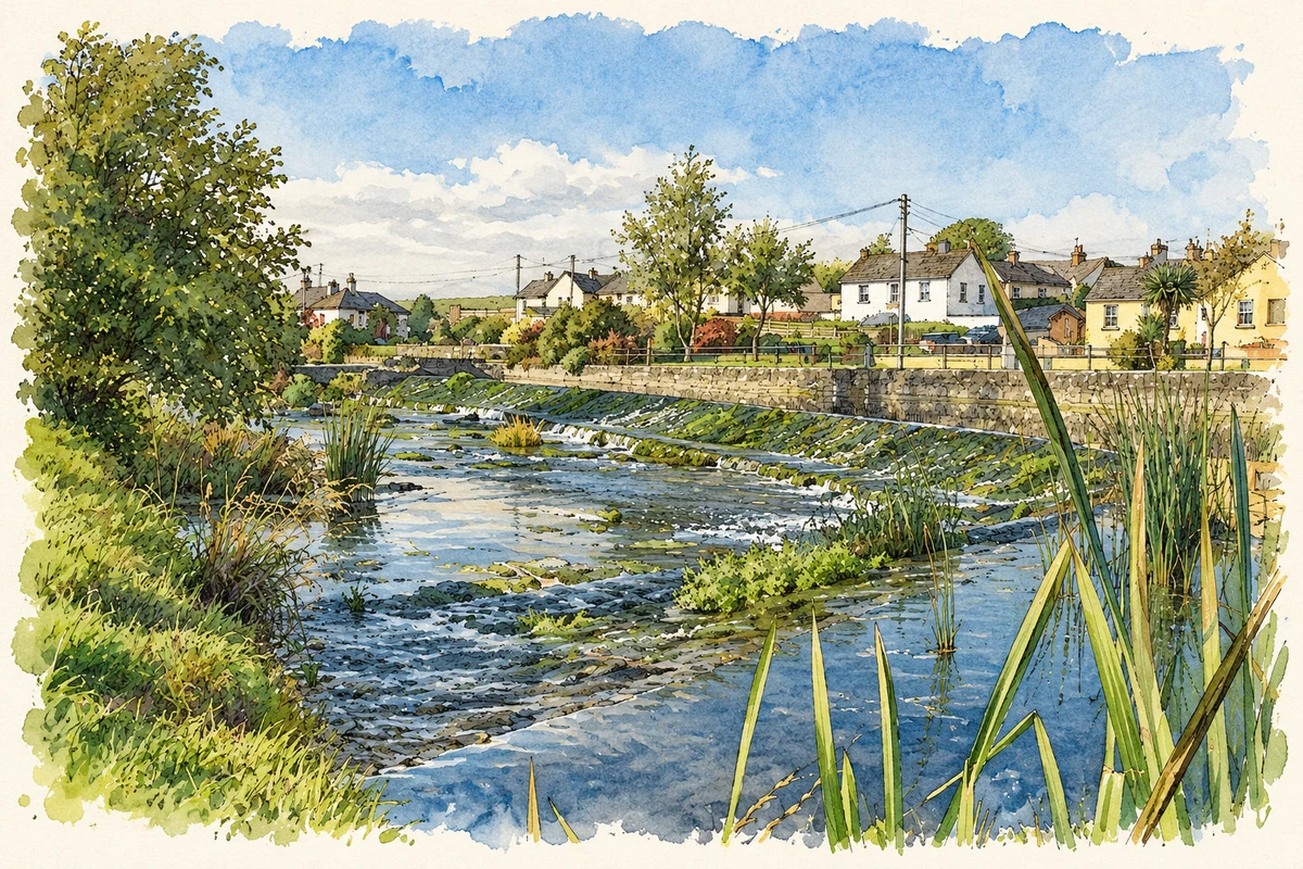
Bruree's bridge and mills preserve its riverside working history. The school attended by Éamon de Valera later became a museum that he returned to open as president.
Illustration, River Maigue at Bruree
⊕Recorded locationBruree52.42388° N · 8.66102° WInteractive map supplied by OpenStreetMap.
A reliable full-name meaning has not been established here. The recorded Irish and English forms are given without an unsupported translation.
Recorded forms
Brú Rí· Irish · main form · validated name
Bruree· English · main form
Place & story
Work beside the Maigue
In 1837 Bruree had 87 houses and a varied industrial life. Samuel Lewis listed mills producing flour and oatmeal, alongside a woollen establishment that combed, carded and spun wool and finished cloth. Four annual fairs traded in livestock and other goods. These activities served a surrounding district of dairy farms, pasture and tillage. The River Maigue ran through that agricultural landscape, with riverside meadows sometimes flooded by its overflow.[2]
People & connections
The pupil who returned as president
Éamon de Valera spent his childhood in Bruree after arriving from America and attended the village school. He later returned as President of Ireland to open a museum there in 1972. The schoolhouse now houses the De Valera Museum and Bruree Heritage Centre, with personal objects donated by him and his family. Its collections also document life in the village and surrounding countryside. The cottage where he lived outside the village survives separately, preserving the domestic setting of his early years.[3]
Seven arches over the river
Bruree's limestone bridge dates from about 1800. Seven round arches carry the road over the Maigue. Triangular cutwaters divide the flow against its piers, their tops finished with domed pyramidal caps. The long run of arches makes the crossing a distinctive feature of the village, close to the former schoolhouse.[4]
The surviving mill complex
The Old Mill dates from about 1860 and combines blocks of different heights in an L-shaped arrangement. Its cast-iron waterwheel and millrace record the use of river power. Slate roofs, brick chimneys and substantial masonry walls preserve the scale of the industrial buildings, while a related manager's house stands nearby. The complex also served as a creamery, connecting the milling site with the dairy farming that was important in the surrounding district.[5]
Both counts use the 2016 settlement boundary, allowing like-for-like comparison. CSO supplies the 2022 count on this older boundary for comparison only. The official 2022 Built Up Area has different boundaries.
View population figures
Bruree — Census 2016 settlement footprint — census population
These are the historical areas published in the 2006 census report. Boundaries may differ between censuses and from modern settlements. Legal towns, environs and suburbs are shown separately; none has been combined into a modern settlement total.
View population figures
Bruree, Limerick — Census town, CSO 2006 report — census population
These are the historical areas published in the 1996 census report. Boundaries may differ between censuses and from modern settlements. Legal towns, environs and suburbs are shown separately; none has been combined into a modern settlement total.
View population figures
Bruree, Limerick — Census town, CSO 1996 report — census population
Figures cover the historical town area printed in the 1986 report. Boundaries may have changed between censuses. Legal town, environs and suburb totals remain separate and differ from modern settlement boundaries.
View population figures
Bruree, Limerick — Census town, CSO 1986 report — census population
These figures use different area definitions. Read the boundary note before comparing them.
Bruree, Limerick
Published census settlement populations
580people · 2016
Settlement boundaries changed during this period. Differences may reflect boundary changes as well as population change. Where a 2011 legal-town-and-environs count is shown, it has not been recalculated onto the 2016 settlement boundary.
 placenames