Kilteely served a farming district through its fairs and schools. Its present church belongs to a much later building campaign than the chapel described before the Famine.
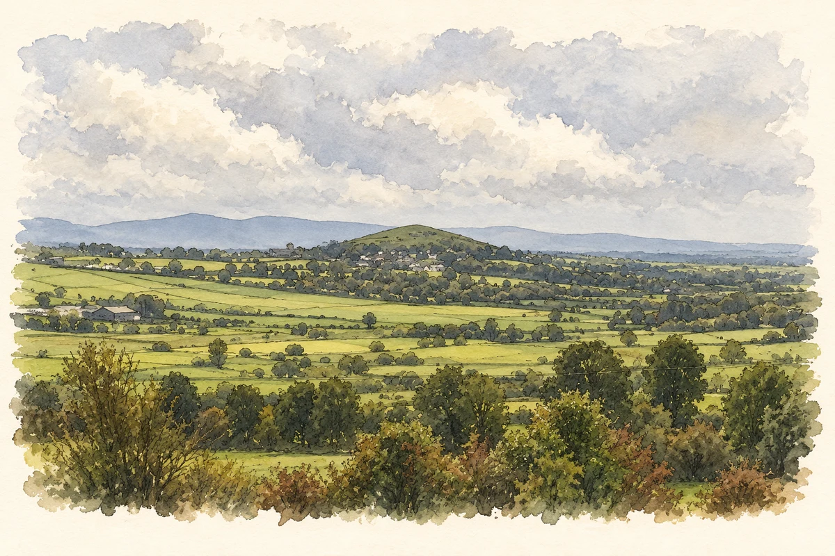
Illustration, Kilteely Hill beside Kilteely, County Limerick
⊕Recorded locationKilteely52.52195° N · 8.39943° WInteractive map supplied by OpenStreetMap.
These Irish name elements are associated with this record in the Logainm glossary.
An element’s translation is a clue, rather than a complete explanation of the name. Its form and meaning depend on local history and the full Irish name.
Recorded forms
Cill Tíle· Irish · main form · validated name
Kilteely· English · main form
Place & story
Three fairs in the village year
Samuel Lewis recorded Kilteely's fairs in 1837 on 1 February, 1 June and 25 October. Cattle and pigs were the principal livestock traded. His account places the village on the Pallas–Bruff road and notes a constabulary station, situating it within the movement of people and produce across the surrounding countryside. The parish was largely cultivated land over limestone and basalt. Lewis's population total of 2,128 was for that wider parish, rather than a count of the village alone.[2]
People & connections
Edmund Walsh’s schools
The Reverend E. Walsh, parish priest, paid for two national schools beside the Catholic chapel, according to Lewis. The chapel itself was a large cross-shaped building with a Crucifixion painting above its altar. This places teaching and worship together in Kilteely's early-nineteenth-century centre. Lewis also recorded private schools in the district, showing that education was provided through several institutions. His description offers a dated view of the parish before later rebuilding changed the village church.[2]
Saint Patrick and Saint Brigid’s
The present Catholic Church of Saint Patrick and Saint Brigid was built around 1960. Its Romanesque Revival design uses round-headed windows, a long nave and a square tower, with twentieth-century brick and rendered surfaces. Inside, a timber barrel vault carries the rounded theme through the roof. The heritage inventory notes how the tall windows and pilasters balance the building's length. This is the church visible in the modern village, distinct from the earlier chapel described by Lewis.[3]
Both counts use the 2016 settlement boundary, allowing like-for-like comparison. CSO supplies the 2022 count on this older boundary for comparison only. The official 2022 Built Up Area has different boundaries.
View population figures
Kilteely — Census 2016 settlement footprint — census population
These are the historical areas published in the 2006 census report. Boundaries may differ between censuses and from modern settlements. Legal towns, environs and suburbs are shown separately; none has been combined into a modern settlement total.
View population figures
Kilteely, Limerick — Census town, CSO 2006 report — census population
These figures use different area definitions. Read the boundary note before comparing them.
Kilteely, Limerick
Published census settlement populations
171people · 2016
Settlement boundaries changed during this period. Differences may reflect boundary changes as well as population change. Where a 2011 legal-town-and-environs count is shown, it has not been recalculated onto the 2016 settlement boundary.
Kilteely Hill and surrounding countryside, County Limerick illustration: based on a Kilteely Hill: top landscape photograph on page 2, view southwards from Knockseefin Hill (Limerick geological heritage audit, 2021) by Geological Survey Ireland; audit authors Robert Meehan, Vincent Gallagher, Ronan Hennessy and Clare Glanville. AI-assisted watercolour and fine ink adaptation of the unaltered embedded report photograph; paper margins added, tonal palette softened and fine details simplified. Contains Irish Public Sector Data (Geological Survey Ireland) licensed under a Creative Commons Attribution 4.0 International (CC BY 4.0) licence Licence: CC BY 4.0.
 placenames