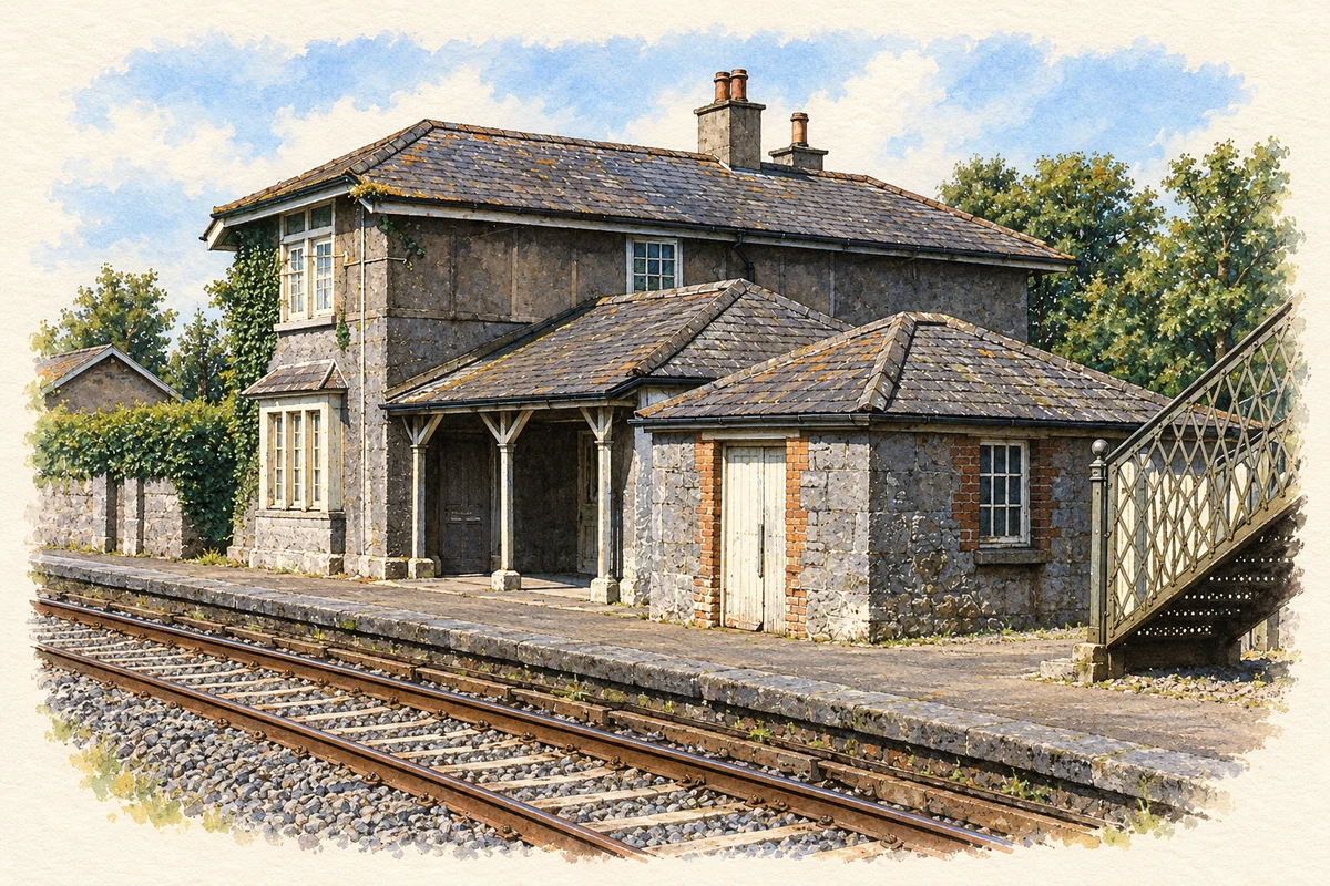
Knocklong is remembered in both medieval storytelling and modern revolutionary history, with a railway memorial and an 1842 church giving those histories a local setting.
Illustration, Knocklong station, 1986
⊕Recorded locationKnocklong52.43535° N · 8.41127° WInteractive map supplied by OpenStreetMap.
These Irish name elements are associated with this record in the Logainm glossary.
An element’s translation is a clue, rather than a complete explanation of the name. Its form and meaning depend on local history and the full Irish name.
Recorded forms
Cnoc Loinge· Irish · main form · validated name
Knocklong· English · main form
Place & story
Folklore & tradition
Mogh Ruith and the water of the siege
The medieval tale known as The Siege of Knocklong, or Forbuis Droma Damhghaire, places the druid Mogh Ruith in a struggle between Cormac mac Airt and the men of Munster. In the account summarised by nineteenth-century scholar Eugene O'Curry and reproduced by James Grove-White, Mogh Ruith agrees to help in return for territory. He shoots an arrow into the air, promising water where it falls. A torrent springs up, relieving the thirsty Munster army and its animals. The episode belongs to the tale's supernatural contest of power.[2]
Seán Hogan's rescue at the station
A black marble plaque at the old railway station commemorates the rescue of Volunteer Seán Hogan on 13 May 1919. It names Dan Breen, Ned Foley, Seán Lynch, John Joe O'Brien, Ned O'Brien, Séamus Robinson, Jim Scanlan and Seán Treacy among those involved. The memorial was erected through local development, commemorative and former IRA organisations. Its location at Station Close keeps the railway site itself central to the remembrance of an event that gave Knocklong a prominent place in War of Independence history.[3]
Samuel Harris and St Joseph's
St Joseph's Catholic Church dates to 1842. A plaque records Samuel Harris as its builder and names parish priest Edmund Graham. Its T-shaped plan has a nave and two transepts, with an open bellcote over the southern gable. Inside, decorative plaster ceilings include gold-leaf foliage, while the gallery has ornamental panels and timber pews. A limestone baptismal font and stained glass add further craftsmanship. The dated building record preserves the names of the priest and tradesman alongside the parish's contribution to completing the church.[4]
Both counts use the 2016 settlement boundary, allowing like-for-like comparison. CSO supplies the 2022 count on this older boundary for comparison only. The official 2022 Built Up Area has different boundaries.
View population figures
Knocklong — Census 2016 settlement footprint — census population
Knocklong, Limerick — Census town, CSO 2006 report
2002–2006: census town
239people · 2006
These are the historical areas published in the 2006 census report. Boundaries may differ between censuses and from modern settlements. Legal towns, environs and suburbs are shown separately; none has been combined into a modern settlement total.
View population figures
Knocklong, Limerick — Census town, CSO 2006 report — census population
Knocklong, Limerick — Census town, CSO 1996 report
1991–1996: census town
248people · 1996
These are the historical areas published in the 1996 census report. Boundaries may differ between censuses and from modern settlements. Legal towns, environs and suburbs are shown separately; none has been combined into a modern settlement total.
View population figures
Knocklong, Limerick — Census town, CSO 1996 report — census population
Knocklong, Limerick — Census town, CSO 1986 report
1981–1986: census town
273people · 1986
Figures cover the historical town area printed in the 1986 report. Boundaries may have changed between censuses. Legal town, environs and suburb totals remain separate and differ from modern settlement boundaries.
View population figures
Knocklong, Limerick — Census town, CSO 1986 report — census population
These figures use different area definitions. Read the boundary note before comparing them.
Knocklong, Limerick
Published census settlement populations
256people · 2016
Settlement boundaries changed during this period. Differences may reflect boundary changes as well as population change. Where a 2011 legal-town-and-environs count is shown, it has not been recalculated onto the 2016 settlement boundary.
 placenames