A reliable full-name meaning has not been established here. The recorded Irish and English forms are given without an unsupported translation.
Recorded forms
Ardach· Irish · main form · validated name
Ardachadh· Irish · main form · historical name
Ardagh· English · main form
Place & story
The village in 1837
Lewis places Ardagh on the road from Newcastle towards Shanagolden and describes a single irregular street. The village population was 415, while the parish population was over two thousand. Most people associated with the parish therefore lived beyond the village street.[2]
Farming and minerals
The directory contrasts fertile and planted land with boggy, heath-covered uplands on the western side. Livestock fairs brought cattle, pigs and traders into the village. Lewis also notes coal workings at Carrigkerry and reports ironstone and fire clay which had not been exploited. These observations distinguish an agricultural economy from the mineral possibilities perceived by nineteenth-century writers; the presence of a resource does not establish that a working industry existed.[2]
The 1868 discovery at Reerasta
Ardagh’s best-known archaeological connection lies at Reerasta, where a hoard was discovered in 1868 during potato digging in a ringfort. The National Museum identifies a large decorated silver chalice, a smaller bronze chalice and four silver-gilt brooches among the finds. It dates the chalices to the eighth century and the brooches probably to the ninth. The objects were therefore already ancient when they entered the ground. Their discovery belongs to the nineteenth century; it does not date the making of the vessel or prove exactly when the hoard was concealed.[3][4]
A vessel made to be seen from below
The silver chalice was used to distribute Eucharistic wine. Its bowl and foot are spun silver, with applied decoration in gold, silver, glass, amber and enamel. Even the underside of the foot is richly worked, with a polished rock crystal at its centre. A band beneath the rim carries the names of eleven apostles and Saint Paul. These details explain its importance as a work of craftsmanship as well as a local discovery. The museum’s suggestion that the hoard may have been hidden from Viking raiders remains a possibility, not an established account of its burial.[3][4]
Both counts use the 2016 settlement boundary, allowing like-for-like comparison. CSO supplies the 2022 count on this older boundary for comparison only. The official 2022 Built Up Area has different boundaries.
View population figures
Ardagh — Census 2016 settlement footprint — census population
These figures use different area definitions. Read the boundary note before comparing them.
Ardagh, Limerick
Published census settlement populations
266people · 2016
Settlement boundaries changed during this period. Differences may reflect boundary changes as well as population change. Where a 2011 legal-town-and-environs count is shown, it has not been recalculated onto the 2016 settlement boundary.
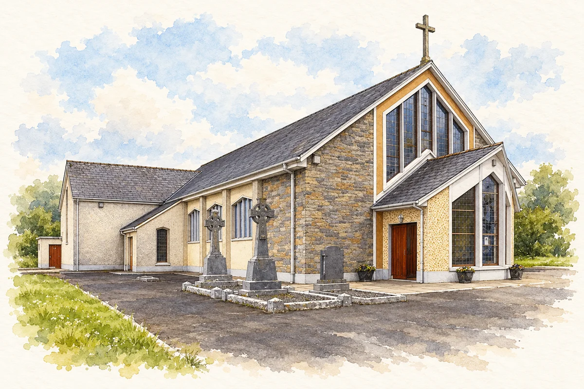
St Molua's Church, Ardagh illustration: based on a reference by P L Chadwick. AI watercolour/ink adaptation; clutter removed, margins added and fine details simplified. Licence: CC BY-SA 2.0.
 placenames