Carrigkerry's musical life reaches from house-to-house Christmas visiting to performers heard on national radio and television. The village's church and gathering places anchor those traditions in west Limerick.
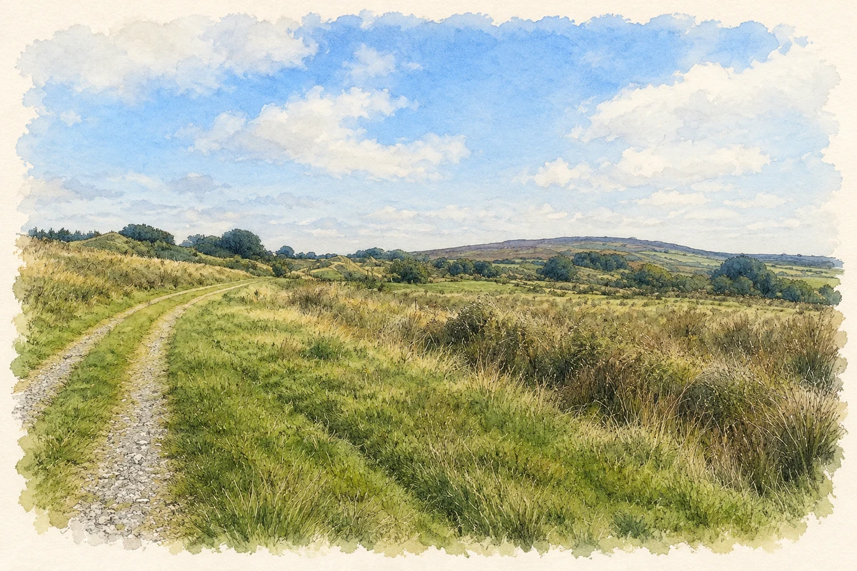
Illustration, Carrigkerry Esker at Glenastar, near Carrigkerry, County Limerick
⊕Recorded locationCarrigkerry52.49333° N · 9.14991° WInteractive map supplied by OpenStreetMap.
These Irish name elements are associated with this record in the Logainm glossary.
An element’s translation is a clue, rather than a complete explanation of the name. Its form and meaning depend on local history and the full Irish name.
Recorded forms
Carraig Chiarraí· Irish · main form · validated name
Carrigkerry· English · main form
Place & story
Folklore & tradition
Going on the Wren
During a 2017 visit, reporter Anne O'Donoghue heard how the Carrigkerry Wrenboys organised their St Stephen's Day rounds. Musicians gathered at Moore's pub before following a planned route through the surrounding countryside. They played as they approached and left houses, with singing and set dancing during the visits. A holly bush carried at the front represented the wren. Member Mick Barrett dated this particular group's foundation to 1982, while recalling an older local tradition and a neighbouring Glensharrold group.[2]
The Fleadh Floor
The Wrenboys bought a farmhouse in 1997 and converted it into their Fleadh Floor, a base for music, cards and céilís. Interviewed there in 2017, members described competing jointly with Glensharrold at Listowel and collecting donations for charity during their rounds. They also explained a customary restriction: the group avoided entering a house where a death had occurred during the year. Planning the route therefore required local knowledge of households as well as musical preparation.[2]
Saint Mary's limestone details
Saint Mary's Church is dated 1878. Its gable faces the street, with a four-bay nave, a lower chancel and a sacristy projecting to the west. Dressed limestone walls, buttresses and carved stone details give the small building a substantial appearance. A recessed trefoil panel decorates the sacristy, while stone copings and finials finish the slate roof. The church provides a surviving nineteenth-century landmark in a village whose later communal activities often centred on music and local gatherings.[3]
People & connections
Jim and Mick Sheehy of Barnigue
Bodhrán players Jim and Mick Sheehy came from nearby Barnigue. Local historian Tom Aherne recalled their radio and television appearances, including a Comhaltas programme broadcast in June 1971. They also performed with Seán Ó Riada's Ceoltóirí Chualann. The surrounding area supported other cultural work: Glensharrold writer P. J. Ahern contributed to the Weekly Observer and Limerick Leader before his death in 1937. These connections place Carrigkerry within a wider network of musicians, writers and gathering places across its neighbouring townlands.[4]
Both counts use the 2016 settlement boundary, allowing like-for-like comparison. CSO supplies the 2022 count on this older boundary for comparison only. The official 2022 Built Up Area has different boundaries.
View population figures
Carrigkerry — Census 2016 settlement footprint — census population
Carrigkerry, Limerick — Census town, CSO 2006 report
2002–2006: census town
166people · 2006
These are the historical areas published in the 2006 census report. Boundaries may differ between censuses and from modern settlements. Legal towns, environs and suburbs are shown separately; none has been combined into a modern settlement total.
View population figures
Carrigkerry, Limerick — Census town, CSO 2006 report — census population
These figures use different area definitions. Read the boundary note before comparing them.
Carrigkerry, Limerick
Published census settlement populations
184people · 2016
Settlement boundaries changed during this period. Differences may reflect boundary changes as well as population change. Where a 2011 legal-town-and-environs count is shown, it has not been recalculated onto the 2016 settlement boundary.
Carrigkerry Esker at Glenastar, near Carrigkerry, County Limerick illustration: based on a Carrigkerry Esker, County Geological Site Report (2021), page 2, top photograph: easternmost segment in Glenastar Townland by Robert Meehan, Vincent Gallagher, Ronan Hennessy and Clare Glanville / Geological Survey Ireland. AI-assisted watercolour and fine ink adaptation of the report photograph; cream paper margins added and fine details simplified. Contains Irish Public Sector Data (Geological Survey Ireland) licensed under a Creative Commons Attribution 4.0 International (CC BY 4.0) licence. Licence: CC BY 4.0.
 placenames