The combined settlement follows the meeting of the Slaney and Clody, joining Bunclody’s Wexford centre with Carrickduff’s streets and older buildings in Carlow.
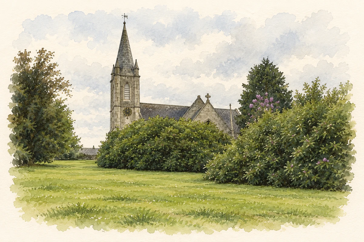
Illustration, Saint Mary's Church, Bunclody
⊕Recorded locationBunclody-Carrickduff52.65564° N · 6.65569° WInteractive map supplied by OpenStreetMap.
A reliable full-name meaning has not been established here. The recorded Irish and English forms are given without an unsupported translation.
Recorded forms
Bunclody-Carrickduff· English · main form
Place & story
How the two parts meet
Carrickduff forms the western approach to Bunclody along the N80, where the Clody joins the Slaney. Its development stretches out from the older market-town centre in Wexford into County Carlow. Terraced houses and detached dwellings give the approach a more open form than the narrow plots of the centre. The rivers connect the two parts physically and historically, while the administrative boundary explains the combined Bunclody–Carrickduff name used for the wider settlement.[2]
The fountain at the Nine Stones road
A mid-nineteenth-century fountain survives at the junction of the Carlow–Bunclody road with the route towards the Nine Stones. Its cast-iron spout is set into a single granite block. Carlow's Carrickduff plan also identifies a nearby early-nineteenth-century house as part of the area's architectural heritage. These modest structures preserve practical and domestic aspects of the approach road, complementing the more formal estate buildings associated with Bunclody itself.[3]
People & connections
Robert Hall-Dare’s Newtownbarry House
Newtownbarry House was built between 1863 and 1869 for Robert Westley Hall-Dare, to designs by Lanyon, Lynn and Lanyon. It replaced the earlier house called Woodfield. Rough-cut granite contrasts with more finely dressed stone, while an Italianate entrance porch and a top-lit staircase hall give the building its distinctive character. Its alignment takes advantage of views over the Slaney. Outbuildings, gardens and a ruined gate lodge preserve the wider setting of this nineteenth-century estate residence.[4]
Bunclody-Carrickduff — Census 2016 settlement footprint
Population within 2016 settlement boundaries
2,097people · 2022
Both counts use the 2016 settlement boundary, allowing like-for-like comparison. CSO supplies the 2022 count on this older boundary for comparison only. The official 2022 Built Up Area has different boundaries.
View population figures
Bunclody-Carrickduff — Census 2016 settlement footprint — census population
Bunclody-Carrickduff, Carlow and Wexford — Census town, CSO 2006 report
2002–2006: census town
1,863people · 2006
These are the historical areas published in the 2006 census report. Boundaries may differ between censuses and from modern settlements. Legal towns, environs and suburbs are shown separately; none has been combined into a modern settlement total.
View population figures
Bunclody-Carrickduff, Carlow and Wexford — Census town, CSO 2006 report — census population
Bunclody-Carrickduff, Carlow and Wexford — Census town, CSO 1996 report
1991–1996: census town
1,241people · 1996
These are the historical areas published in the 1996 census report. Boundaries may differ between censuses and from modern settlements. Legal towns, environs and suburbs are shown separately; none has been combined into a modern settlement total.
View population figures
Bunclody-Carrickduff, Carlow and Wexford — Census town, CSO 1996 report — census population
These figures use different area definitions. Read the boundary note before comparing them.
Bunclody-Carrickduff, Carlow and Wexford
Published census settlement populations
1,984people · 2016
Settlement boundaries changed during this period. Differences may reflect boundary changes as well as population change. Where a 2011 legal-town-and-environs count is shown, it has not been recalculated onto the 2016 settlement boundary.
View population figures
Bunclody-Carrickduff, Carlow and Wexford — census population
Saint Mary's Church, Bunclody illustration: based on a Saint Mary's, Bunclody by liam murphy. AI-assisted watercolour and ink adaptation; cream paper margins added, incidental clutter omitted and fine details simplified. Licence: CC BY-SA 2.0.
 placenames